National High Magnetic Field Laboratory
Magnet Academy: James Watt
The Scottish instrument maker and inventor James Watt had a tremendous impact on the shape of modern society. His improvements to the steam engine were a significant factor in the Industrial Revolution, and when the Watt engine was...
Estrella Mountain Community College
Online Biology Book: Paleobiology: Fossils and Time
Find out how fossil evidence has been the major link to learning about Earth's geologic history. See several illustrated interpretations of a geologic time scale in this online biology textbook.
Georgia Department of Education
Ga Virtual Learning: Historical Geology
In this interactive tutorial you will explore how geologists use clues in rocks to determine the order in which rocks formed. Learn how principles of radioactivity are used to assign actual ages to rocks. Students will explore fossils...
Center for Educational Technologies
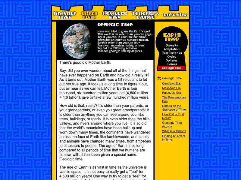
Earth Floor: Geologic Time
This is a nice explanation of geologic time and Earth's major eras. Although this site is designed for younger students, it is mostly text with few images.
Other
Ontario Council for Technology Education: Transportation Design and Construction [Pdf]
In this project, students will develop knowledge and skills related to the construction of vehicle/craft systems. They will identify and describe the major systems and components of vehicles, aircraft, and/or watercraft such as body,...
Tramline
Tramline: Tornado Field Trip
In this virtual field trip students learn about the formation of tornadoes. Students also visit websites where they can research various types of information about tornadoes.
National High Magnetic Field Laboratory
Magnet Academy: Gerd Binnig
Gerd Binnig co-developed the scanning tunneling microscope (STM) with Heinrich Rohrer. The STM allowed scientists entry into the atomic world in a new way and was a major advance in the field of nanotechnology. For their achievement,...
Khan Academy
Khan Academy: Development of the Buddha Image
There is significant debate concerning the development of the Buddha image--where it first occurred, why, and when. Broadly speaking, the image of the Buddha emerged during the first few centuries C.E. in two major centers of Indian art...
Other
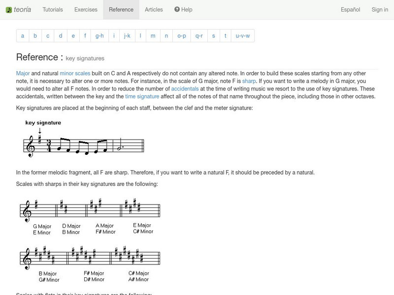
Teoria: Key Signatures
This site from Teoria's Books offers a short, easy to read article on Key Signatures. An interactive keyboard makes the learning more fun.
Curated OER
Educational Technology Clearinghouse: Maps Etc: Pre Colonial Africa, 1872
A map of Africa showing the continent prior to the Berlin Conference of 1885, when the most powerful countries in Europe at the time convened to make their territorial claims on Africa and establish their colonial borders at the start of...
Curated OER
Educational Technology Clearinghouse: Maps Etc: New Zealand, 1904
A geo-political map of New Zealand current to 1904, showing major cities, railroad lines, and navigable rivers. Physical features include mountain ranges with elevation measured in feet, major rivers and watersheds, and the 100-fathom...
Curated OER
Etc: Maps Etc: Physical and Political Map of Africa, 1879
Map of pre-colonial Africa, showing the predominately native countries and territories of the African continent in 1879. The counties include the Barbary States of Morocco, Algeria, Tunis, Tripoli and Fezzan, the Egyptian territories of...
Curated OER
Educational Technology Clearinghouse: Maps Etc: Colonial Africa, 1899
Map of Africa in 1899 showing the colonial possessions of European powers on the continent established at the Berlin Conference of 1885. This map shows major cities and trade centers, railroad routes and canals, major river systems, and...
Curated OER
Etc: Maps Etc: European Possessions of Africa, 1906
A map of Africa after the Berlin Conference of 1885, which established the European colonial territory claims on the continent. This map shows the Belgian, British, French, German, Italian, Portuguese, and Spanish claims, and the Turkish...
Curated OER
Educational Technology Clearinghouse: Maps Etc: Asia (Physical), 1901
A map of Asia from 1901 showing the physical features of the region including mountain systems, plateaus, basins, plains, deserts, lakes, rivers, and coastal features and islands. The map shows major ocean currents, the mean annual...
Curated OER
Etc: Maps Etc: Physical Features of Europe, 1901
A map from 1901 of Europe, showing the physical features of the region. This map is color-coded to show general elevations from sea level to over 6,500 feet, mountain systems, drainage divides, lakes, rivers, coastal features, and the...
Curated OER
Etc: Europe at the Time of the Reformation, 1517 1648
Map of Europe at the time of The Protestant Reformation movement from Martin Luther in 1517 to the Peace of Westphalia in 1648. Shows major cities of the time, major river ways, topography, political boundaries. This map illustrates the...
Curated OER
Etc: Europe Thirty Years War and the Wars of the Spanish Succession, 1618 1714
This is a map of Europe including the Thirty Years War and the Wars of the Spanish Succession, 1600-1714. Shows major cities of the time, major river ways, topography, political boundaries. Scale in English miles. There is an insert of...
Curated OER
Educational Technology Clearinghouse: Maps Etc: India, 1904
India, showing country, province and native state borders current to 1904, major cities, railroad lines, and navigable rivers. Physical features include mountain ranges with elevation measured in feet, major rivers and watersheds, and...
Curated OER
Educational Technology Clearinghouse: Maps Etc: Mexico, 1885
A map from 1885 of Mexico showing the states and state capitals, major cities and towns, existing and proposed railroads, steamship routes with distances and travel times between major ports given, mountain systems, rivers, lakes, and...
Curated OER
Educational Technology Clearinghouse: Maps Etc: Mexico, 1872
A map from 1872 of Mexico, showing states and state capitals, major cities, towns, and ports, railroads, lakes and rivers, mountain systems, terrain, and coastal features. Steamship routes to major ports are shown, with distances marked...
Curated OER
Etc: N America Illustrating the Conquest of Canada and War of Indep, 1757 1783
A map of eastern North America illustrating the Conquest of Canada and the War of Independence (1757-1783). The map shows major cities of the time, major river ways, topography and political boundaries. The map is color-coded to show the...
Curated OER
Educational Technology Clearinghouse: Maps Etc: South America (Physical), 1901
A map from 1901 of South America showing the physical features of the region. This map is color-coded to show general elevations from sea level to over 6,500 feet, mountain systems, drainage divides, lakes, rivers, coastal features, and...
Curated OER
Educational Technology Clearinghouse: Maps Etc: British Isles, 1906
A map of the British Isles from 1906, showing the terrain, rivers, and coastal features of Ireland, Scotland, England, and Wales. Major cities are shown, and the map includes an inset map of the Shetland and Orkney Islands, a locator map...
Other popular searches
- Theory Major Scales
- Music Major Scales
- Minor and Major Scales
- Composing Major Scales
- Major Scales in Music
- Composing Major Music Scales
- Introduction to Major Scales


![Ontario Council for Technology Education: Transportation Design and Construction [Pdf] Lesson Plan Ontario Council for Technology Education: Transportation Design and Construction [Pdf] Lesson Plan](https://d15y2dacu3jp90.cloudfront.net/images/attachment_defaults/resource/large/FPO-knovation.png)


