Curated OER
Bronx Zoo
Students prepare for a field trip to the Bronx Zoo. They use maps and descriptions of animal exhibits to give and interpret directions on how to navigate the zoo. They play games, participate in pairwork and whole class discussion.
Mathematics Assessment Project
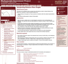
Interpreting Distance–Time Graphs
Pre-algebra protégés critique a graph depicting Tom's trip to the bus stop. They work together to match descriptive cards to distance-time graph cards and data table cards, all of which are provided for you so you can make copies for...
Curated OER
Mapping the Mediasphere
Students compare/contrast the media messages they see in two different communities in their city. They list the elements of art and the principles of design in the photographs they have taken in those two different communities. They...
Curated OER
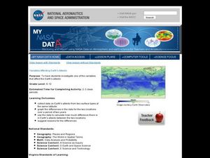
Variables Affecting Earth's Albedo
Students study the variables that affect the Earth's albedo. In this environmental data analysis activity students interpret and graph information and calculate changes.
Curated OER
Landscape Picture Map
Students design a landscape picture map. In this landscape picture mapping activity, students understand when and why to use a landscape picture map. Students discuss landscape picture maps.
Curated OER
Understanding Topographic Maps
Underclassmen create a cone-shaped landform and then draw a contour map for it. Then they examine a quadrangle (which was easily located with an online search), and relate it to what they experienced. The accompanying worksheet is...
Curated OER
Draw an Inch, Walk a Mile
Learners work in small groups to solve the problems presented. The main project, mapping the classroom, use these discussions to collaborate in creating a tangible demonstration of their understanding.
Curated OER
Geography Application: The Cuban Missile Crisis
A complete activity! The class reads the provided text, then answers the 7 critical-thinking questions. Topics covered are interpreting informational text, reading comprehension, the Cuban Missile Crisis, and US Policy.
Curated OER
Europe Discovers the Riches of India
Interpreting text is vital. Middle schoolers read a 1 page passage describing why Europe was so interested in colonizing India. After reading, they answer 8 comprehension questions.
Mathematics Assessment Project
Sugar Prices
Sugar rush! In this assessment task, learners interpret points on a scatter plot representing price versus weight for bags of sugar. They then determine the bag that represents the best value.
Curated OER
Three Dimensional Geology
Here is a fine lesson plan on geology designed for high schoolers. Learners use rocks, fossils, and other geological clues to determine the geology of an area. Then, they make recommendations to a fictitious city council about the...
Smithsonian Institution
A Ticket to Philly—In 1769: Thinking about Cities, Then and Now
While cities had only a small fraction of the population in colonial America, they played a significant role in pre-revolutionary years, and this was certainly true for the largest city in the North American colonies: Philadelphia. Your...
Curated OER
The Importance of Site Maps in Archaeology
Students consider the importance of site maps in archeology. They interpret site maps, draw site maps of their classroom and home and then participate in simulated Paleolithic archeological camp activity.
Curated OER
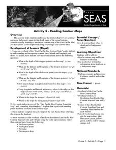
Reading Contour Maps
Students examine contour maps and bathymetry maps and discover how to interpret a contour map of the East Pacific Rise. Students look at a map as a class and answer questions together before working independently on a map of the East...
Curated OER
Is there a map in that story?
Eighth graders examine different pieces of literature from specific isolated Pacific islands. In this Geography lesson, 8th graders read and interpret a written selection. Students construct a map of the stories setting.
Curated OER
Topo Map Mania!
Seventh graders describe the major features of maps and compasses. They read a topographical map. They take a bearing using a compass. They practice using scales on a map.
Curated OER
Map Creation
Second graders identify a map, symbol, key, and compass rose. Students create and print a map for teacher evaluation using the computer. Students identify the symbols on their map and orally present them to the class.
Curated OER
Map of the Ottawa Valley
Students locate Ottawa Valley on a map. They then answer questions in reference to the map such as: What was the first use of timber in the Ottawa Valley?, What occurred first in Gatineau?, and On the Ontario side of Ottawa River, how...
Curated OER
Introduction to Topographic Maps
Tenth graders create a topographic map and see how it represents different elevations. In this topographic maps lesson students read and interpret topographic maps.
Curated OER
Mapping Population Changes In The United States
Students create a choropleth map to illustrate the population growth rate of the United States. They explore how to construct a choropleth map, and discuss the impact of population changes for the future.
Curated OER
Map Reading
After examining a map from 1803 and 2003, they explore how to become map readers. They describe what they see on the map from 1803 and compare the information to the map from 2003. Students create their own map of the neighborhood that...
Curated OER
Interpreting Music Data Rubric
In this interpreting music data rubric worksheet, students use this rubric as an assessment tool. It is designed to evaluate the students' music presentation.
Curated OER
Creating a 3d Model and Corresponding Topographic Map
Students create a landform model and topographic map. In this topography activity, students use a real landform to create a model and topographic map to scale.
Curated OER
Reading distance on maps
Eighth graders complete worksheets on reading the distance on maps in miles or kilometers. For this maps lesson plan, 8th graders use a calculator and ruler.


