Curated OER
Living on a Cotton Farm: Mexican Americans Life In Texas
Seventh graders are introduced to the processes of cotton farming in the early 20th century. In groups, they examine the role of Mexican Americans on the farms and the impact of a boom and bust economy on cotton. They identify the...
Curated OER
Explorers
In this explorers worksheet, students read a detailed text about the Age of Exploration from 1450 to 1700. Students then answer 7 matching or multiple choice questions.
Curated OER
Exploring Our Watershed System
Students study watersheds and examine how they are composed. In this watershed system instructional activity students explain how water enters a watershed and the concept of stream order.
Curated OER
Map It!
Fourth graders collect and explore different maps and their uses before using the program Pixie to create maps of geographic features, political features, and economic information for the state in which they live.
Curated OER
Minnesota Floor Map
Students examine the physical geography of Minnesota, work cooperatively to design a map of Minnesota and develop spatial and relative location of Minnesota landmarks and physical characteristics.
Curated OER
Education and the Founding of the Academies
Students learn the importance of education in pre- and post-Revolutionary Deerfield.
Curated OER
From Home to School, GPS Style
Students are introduced and increase proficiency in the use of the hand held GPS system. They explore the meaning of longitude and latitude lines, then identify the parts of the map.
Curated OER
Mapping the West
Students determine how Americans' perception of the geographical features of the West changed following the Lewis and Clark expedition. They analyze historical maps of the West.
Curated OER
Connections Between World Events, Geography and the Human Quest for Knowledge
Students examine the relationship between innovations in geography and world events. Using maps, they report different information from a spatial perspective. They develop hypothesis about how man's quest for knowledge has impacted the...
Curated OER
Mapping a Stream
Young scholars map an actual local waterway. They create full color scale drawings that include windfalls, plant cover, streambed composition, and landmarks such as trees, boulders, and slumps. This is a long-term project that involves...
Curated OER
The Voice of the Individual
Students examine the role of the individual in society as a whole. Individually, they design and create their own calling card as used in the past. They put together an art kit in which they are able to use outdoors. To end the lesson...
Curated OER
Saskatchewan's Population Distribution
Students explore landforms, vegetation, climate and population distribution in Saskatchewan. After discussing an atlas of Saskatchewan, students create their own relief map and climagraphs of Saskathewan. Using specified websistes,...
Curated OER
Boundaries
Students are introduced to the term of mental mapping. Individually, they develop their own mental map of Washington state and discuss as a class what makes a boundary. They draw their mental map on paper and compare it with their...
Curated OER
Sectionalism, Popular Sovereignty, and Secession
Pupils examine sequence of national events that resulted in the Civil War by using primary sources, and creating timelines and maps.
Curated OER
Making a Map of the Classroom
Students create a map of the classroom using the computer programs AppleWorks and iChat in this math-based technology lesson. Lesson extension ideas include a scavenger hunt and maps of other school buildings.
Curated OER
Mapping It Out - Great Lessons For Geography
Through geography lesson plans students can learn about history, science, and a variety of other subjects.
Mariners' Museum and Park
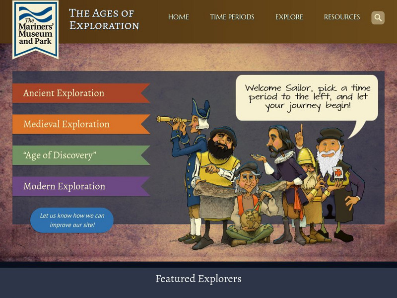
Age of Exploration: Changing View of the World: The Development of Map Making
Read a summary of the history of map-making and the maps that were produced as a result of European exploration in the Americas. See examples of these maps and find out more about each one in this exhibit from the Mariners' Museum.
Volunteer Voices
Volunteer Voices: Mapmaking [Pdf]
For this lesson plan students will explore the mapmaking craft, examine the Lewis and Clark maps,identify and apply mapmaking techniques and tools.
Utah Education Network
Uen: Map Making
First graders will study a map of their school and then create a map of their classroom.
Rice University
Rice Univ.: Cynthia Lanius: Mathematics of Cartography: History of Mapmaking
Surveys the history of mapmaking from prehistoric to current times with an illustrated chronology.
American Geosciences Institute
American Geosciences Institute: Earth Science Week: Map Making Basics
This activity will help students discover some features as they create a geologic map.
National Geographic
National Geographic: Geography Awareness Week
This resource is the portal to all the resources National Geographic provides for celebrating Geography Awareness Week, which occurs the third week of November. Find the toolkit, archives of previous celebrations, videos, and mapmaking...
Other
Sacmeq: Stat Planet Map Maker: Interactive Mapping and Visualization Software
Free application for creating thematic maps and graphs using demographic, educational, environmental, health and socioeconomic indicators from various sources such as the World Health Organization. Includes demos, a video, and other...
University of Calgary
European Voyages of Exploration: Geography and Cartography
This site provides information on mapmaking and cartograohy of the early explorers. Includes pictures of maps.
Other popular searches
- Making a Map
- Making Life Map
- Making a Neighborhood Map
- Making Map Scales
- Making Topographical Map
- Making a Map Project
- Making a Classroom Map
- Making a Map Scale
- Making a Map Boston
- Making a Treasure Map
- Making a Map Vosstown
- Making a Mental Map


![Volunteer Voices: Mapmaking [Pdf] Lesson Plan Volunteer Voices: Mapmaking [Pdf] Lesson Plan](https://d15y2dacu3jp90.cloudfront.net/images/attachment_defaults/resource/large/FPO-knovation.png)


