University of Texas at Austin
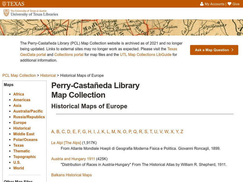
Perry Castaneda Library Map Collection: Historical Maps of Europe
This collection from the University of Texas Library Online of historical maps contains a wide variety of maps from various parts of Europe and from different parts of history. Each map is accompanied by a brief description and is clear...
University of Texas at Austin
Ut Library Online: Historical Maps of the United States
This extensive collection of Historical United States maps from the University of Texas Library Online cover early inhabitants, exploration and settlement, territorial growth, military history, and later historical maps. These maps are...
University of Texas at Austin
Ut Library Online: Historical Maps of Africa
This collection from the University of Texas Library Online of historical maps contains a wide variety of maps from various parts of the continent and from different parts of history. Each map is accompanied by a brief description and is...
University of Texas at Austin
Ut Library Online: Historical Maps of Asia
This collection from the University of Texas Library Online of historical maps contains a wide variety of maps from various parts of the continent and from different parts of history. Each map is accompanied by a brief description and is...
University of Texas at Austin
Ut Library Online: Historical Maps of the Polar Regions
This collection from the University of Texas Library Online of historical maps contains a variety of maps from various parts of the polar region and from different parts of history. Each map is accompanied by a brief description and is...
Library of Congress
Loc: Local History: Mapping My Spot
Students often think of history as tattered documents, worn photographs, and musty books, all of which have little or no relevance to their lives. Maps provide an often-overlooked source of information and a new and compelling...
Maps of Mexico
Virtual Picture Travel Map of Massachusetts
Click on Massachusetts on the US map in order to Travel there and take a virtual tour of Boston. Visit places of interest such as Harvard University, MIT, John F. Kennedy Library and Museum, the Freedom Trail, Copley Square, Trinity...
Maps of Mexico
Virtual Picture Travel Map of Massachusetts
Click on Massachusetts on the US map in order to Travel there and take a virtual tour of Boston. Visit places of interest such as Harvard University, MIT, John F. Kennedy Library and Museum, the Freedom Trail, Copley Square, Trinity...
Maps of Mexico
Virtual Picture Travel Map of Massachusetts
Click on Massachusetts on the US map in order to Travel there and take a virtual tour of Boston. Visit places of interest such as Harvard University, MIT, John F. Kennedy Library and Museum, the Freedom Trail, Copley Square, Trinity...
Maps of Mexico
Virtual Picture Travel Map of Massachusetts
Click on Massachusetts on the US map in order to Travel there and take a virtual tour of Boston. Visit places of interest such as Harvard University, MIT, John F. Kennedy Library and Museum, the Freedom Trail, Copley Square, Trinity...
University of Texas at Austin
Perry Castaneda Library Map Collection: African Maps
At this site find any type of map on Africa. Just click on what you want and you will get an accurate, colorful map.
American-Israeli Cooperative Enterprise
Jewish Virtual Library: Deportations to Killing Centers in Occupied Poland
Map of routes to move Jews to killing centers in Poland during its German occupation. Includes short description.
University of Texas at Austin
Perry Castaneda Library Map Collection: Historical Maps of Russia
This outstanding collection of historical maps contains a wide variety of maps from various parts of the Soviet Union as well as the former Soviet Republics, and from different parts of history. Each map is accompanied by a brief...
University of Texas at Austin
Ut Library: Perry Castaneda Maps of Massachusetts
A collection of current and historic maps of Massachusetts, along with maps of cities and national parks in the state.
Yale University
The Yale Map Collection: Online Maps
Yale University provides us with one of the largest collection of maps in the United States. Here you can view historical online maps covering a variety of subjects.
University of Texas at Austin
Perry Castaneda Library Map Collection: Historical Maps of Texas
This collection of historical maps contains a wide variety of maps from various parts of Texas and from different parts of history. Each map is accompanied by a brief description and is clear and easy to read.


