Hi, what do you want to do?
Curated OER
States in the USA Quiz
In this online interactive geography quiz worksheet, students respond to 50 identification questions about the states in the United States of America. Students have 4 minutes to complete the quiz.
Curated OER
Volcanoes:How Safe Are They?
Young scholars explore volcanoes, locate them on maps, record general information about volcanoes, and organize information on a fact sheet.
Curated OER
Communications: To the Rescue!
Students role-play as soldiers rescuing lost mountain climbers. Working in teams, they interpret maps to locate the climbers and use flashlights to send and receive coded messages about the rescue. Their goal is to complete the task in...
Curated OER
New England News: All You Need to Know About the New England Colonies
Students explore the New England colonies inj this five lessons unit. The colonies of plymouth Rock, Massachusetts, Rhode Island, New Hampshire, and Connecticut are highlighted through a variety of techniques.
Curated OER
Possible Locations
Students create maps with cutout pieces of paper that represent caverns. They develop a scale for their map and decide where the best location is to live. They discover the importance of map reading skills.
Curated OER
Waterbasins and Watersheds
Students define water basins and watersheds, then delineate the boundaries of their local water basin/shed using maps.
Curated OER
The Boundary Dispute between New Hampshire and Massachusetts, 1677-1741
Young scholars research primary and secondary source documents to examine the separation of New Hampshire from the larger colony of Massachusetts.
Curated OER
Ozone: The Earth's Security Blanket
Students work in groups to define and research the terms: ozone, troposphere and stratosphere. Students watch videos, conduct Internet research, participate in discussion groups and complete worksheets.
Curated OER
The Musher's Trail
Second graders follow the Iditarod race that begins in March. They research data and select a musher to trail in the race. Then they write daily in a journal about events that happen on the trail, including pictures from the Website.
Agriculture in the Classroom
Build it Better
If you think you can do better, feel free to give it a try. Pupils learn about the work on Temple Grandin and consider ways to improve animal handling facilities. They work in groups to build models to showcase their ideas.
Curated OER
Story Quilt Project
Students investigate how quilt making was a family and community activity. They read and discuss books, complete various handouts, and create a paper quilt celebrating philanthropic activities.
Curated OER
Propaganda During World War I
Eighth graders consider how propaganda was used during World War I. In this World War I lesson, 8th graders analyze posters that were used to garner support for World War I. Students use the provided worksheet to...
Curated OER
State Report
Students create a state report/ presentation. They research U.S. state information using the Internet and retrieve information about specific topics (Individual States in the USA) using technology resources.
Curated OER
Start with a Chart
Students use a given chart and the 50 state quarters to synthesize information about the 50 states and the dates that they were admitted into the union. Students complete a math worksheet while referring to the chart.
University of Texas at Austin
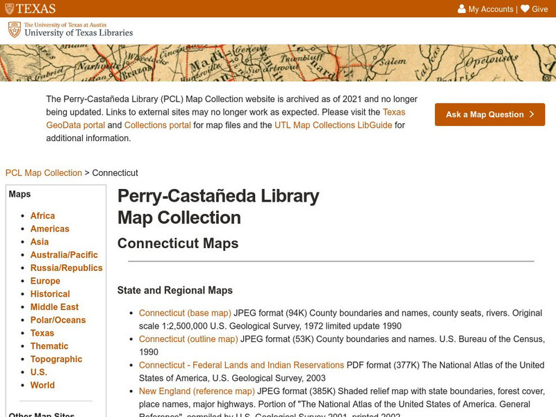
Ut Library: Perry Castaneda Maps of Connecticut
Includes two maps of the state as well as several topographic maps of cities in Connecticut and one historic map of New Haven in 1920.
CRW Flags
Flags of the World: Clickable Map of the United States
Includes both printable images and fascinating trivia behind the flag of each state. It includes alternate flags used in the past.
Johns Hopkins University
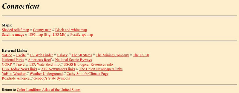
The Johns Hopkins University: Connecticut State Maps
Connecticut maps can be found at this site from The Johns Hopkins University Applied Physics Laboratory. Don't miss out on the opportunity to find out more about the geography of Connecticut.
Enchanted Learning
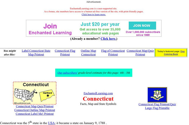
Enchanted Learning: Connecticut
This site has a colorful display of information about Connecticut. It contains a map, pictures, and a list of state symbols for Connecticut.
Cayuse Canyon
The Us50: Connecticut
Provides extensive information regarding Connecticut's history, famous people, cities, geography, state parks, tourism, and historic sites. A fact sheet of information and a quiz are also available.
Other
University of Connecticut: The Geographer's Craft: Map Projection Overview
An advanced overview of map projections with illustrative graphics. Created by Peter H. Dana, Department of Geography, University of Texas at Austin in 1995.
Kidport
Kidport: United States of America Geography
This site contains a fun way to learn about the states within the United States. Click on the state that you want to learn more about and it provides facts, geographic landmarks, points of interest, major industries, a quiz and more.
Curated OER
Educational Technology Clearinghouse: Maps Etc: Connecticut, 1912
A map from 1912 of Connecticut showing the State capital of Hartford, counties and county seats, major cities and towns, railroads, lakes and rivers, and the coastal features of the Long Island Sound. A grid reference in the margins of...
Curated OER
Educational Technology Clearinghouse: Maps Etc: Connecticut, 1891
A map from 1891 of Connecticut showing the State capital of Hartford, major cities and towns, railroads, lakes and rivers, and the coastal features of the Long Island Sound.


