Curated OER
Wetlands/Watershed Model
Students work together to create a watershed model. They discover the flow of surface water on different topography. They examine how materials originate from miles away and end up in a different wetland.
Curated OER
Tracking the Storm
Students discuss the different types of storms that can hit land. They locate specific coordinates on a plane grid. They discuss lonsgitude and latitude to plot the coordinates of a tropical storm. They practice finding coordinates...
Curated OER
Subsidence/ Erosion
Students utilize prior knowledge about the Pontchartrain Basin. In this subsidence/erosion lesson plan, students study the chart on land subsidence and must them identify and find solution for problems caused by erosion.
Curated OER
Effects of the Spanish Conquest
Fifth graders read and research the effects of the Spanish Conquistadors on the New World. Then they break into small groups and play a game of Jeopardy, using the facts that they have learned.
Curated OER
NAFTA Trade Unit
Students research the geography, economics and government of Canada and how that affects US/Canadian trade relations. In this NAFTA lesson, students play a game, read about Canadian history, and creat a graph.
Curated OER
Etc: Maps Etc: Mexico, Central America, and the West Indies, 1898
A map from 1898 of Mexico, Central America and the West Indies. The map includes an inset map of Cuba and the Isthmus of Nicaragua. "The surface of the Rocky Mountain highland in Mexico is quite similar to that of the great plateau...
Adventure Learning Foundation
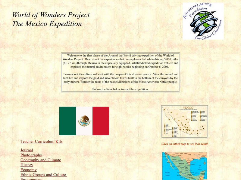
Adventure Learning Foundation: The Mexico Expedition
Take a tour through the country of Mexico in this enchanting site. Students will learn about the culture and visit with the people as they explore the geography, history, and environment of Mexico. It includes maps, classroom activities,...
Houghton Mifflin Harcourt
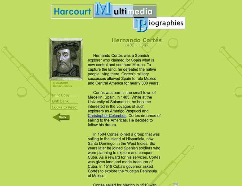
Harcourt: Biographies: Hernando Cortes 1485 1547
Furnished is a brief summary of the life and explorations of Spanish explorer, Hernando Cortes. Take a look at the photos and maps of his journey of what today is called Mexico.
Curated OER
Map of Mexico
Take a tour through the country of Mexico in this enchanting site. Students will learn about the culture and visit with the people as they explore the geography, history, and environment of Mexico. It includes maps, classroom activities,...
Other
Nmbgmr: Resources for Teachers
Locate a variety of maps on New Mexico's minerals and resources, read issues of "Lite Geology," take virtual tours of state sites, and find games, puzzles, and activities for young people.
Other
Nmbgmr: Resources for Teachers
Locate a variety of maps on New Mexico's minerals and resources, read issues of "Lite Geology," take virtual tours of state sites, and find games, puzzles, and activities for young people.
Other
Nmbgmr: Resources for Teachers
Locate a variety of maps on New Mexico's minerals and resources, read issues of "Lite Geology," take virtual tours of state sites, and find games, puzzles, and activities for young people.
Curated OER
Etc: Maps Etc: Commercial Map: United States, Canada, Mexico, 1904
North American commercial activities including: major agricultural crops (barley, corn, wheat, coffee, tobacco, et cetera) and secondary agricultural crops (oranges, lumber, wine); primary mining extraction (coal, gold, silver,...
A&E Television
History.com: The States
Learn unique facts about each American state. You can also read a more in-depth history of each state, watch videos and play a game about all the states.
NOAA
Noaa: Gulf Oil Spill Educational Resources
NOAA provides educational resources regarding the Gulf of Mexico oil spill such as imagery, animations, videos, lessons, activities, real world data, trajectory maps, and background information. Lessons such as Cleaning Oiled Feathers...


