Hi, what do you want to do?
Curated OER
The Missouri Compromise of 1820
Students use a map of the Missouri Compromise to explain the geographical changes it brought to the U.S. and why the changes provoked a debate over the expansion of slavery in the U.S.
Curated OER
Causes of the Civil War: Missouri Compromise, Compromise of 1850 and Kansas Nebraska Act
How did the Missouri Compromise, the Compromise of 1850, and the Kansas-Nebraska Act contribute to the growing tensions that led to the Civil war? To better understand the events that led to the Civil War, young historians engage in a...
Curated OER
An Early Threat of Secession: The Missouri Compromise of 1820 and the Nullification Crisis
High schoolers examine the controversies over slavery's expansion and how the federal tariffs further entrenched the dividing line between northern and southern interests.
Curated OER
The Brief American Pageant: The Second War for Independence and the Upsurge of Nationalism
Use this series of bright, informative maps to illustrate important events of America's infancy. Detailing the Missouri Compromise, the Battle of New Orleans, and the Presidential Election of 1812, this presentation would be a good...
Curated OER
A Century of Expansion: America's Destiny (1763-1867)
How did we grow into such a large nation? Follow the events, wars, and treaties that led to the acquisition of major states as we expanded into the West. The slides provide maps, dates, and simplistic information to help learners...
Curated OER
The Kansas-Nebraska Act of 1854: Popular Sovereignty and the Political Polarization over Slavery
Why did Stephen Douglas support the Kansas-Nebraska Act of 1854? Why did Abraham Lincoln oppose it? Young historians examine how the Kansas-Nebraska Act of 1854 affected the political balance between free and slave states and explore how...
Curated OER
An Early Threat of Secession: The Missouri Compromise of 1820 and the Nullification Crisis
Students analyze an interactive map of the Missouri Compromise to identify the regions and their relation to slavery. In this pre-civil war era lesson, students read primary source documents and research online to answer questions...
Bismarck Public Schools
Chapter 9 Review WKST
Here is a traditional multiple-choice, true/false, and fill-in-the-blank assessment on the presidency of James Monroe in the United States. It was designed to supplement a particular textbook chapter, but could be used to assess learning...
Curated OER
Cartogram of the Great Compromise
Students create cartograms of populations during 1790.
Curated OER
The Brief American Pageant: Renewing the Sectional Struggle
A panorama of the mid-19th century in America, this series of images present several issues that were prevalent before the Civil War. Territorial and social conflicts were heated during this time, and one map in particular shows a...
Curated OER
Sectionalism, Popular Sovereignty and Secession
Students read and discuss background material on several key decisions that played a role in the Civil War including the Missouri Compromise, the Kansas-Nebraska Act and the Dredd Scott Decision. They create a timeline and write an essay.
National First Ladies' Library
The Debate on Slavery
Young historians research the debate over slavery; some students take the pro-slavery side and others the anti-slavery side. They take the role of a character such as a plantation owner, a legislator, a free Black, a slave, or a northern...
Alabama Learning Exchange
Newscast on the Battles of the Ironclad Ships
Fifth graders create multi-media newscasts based on their knowledge of Civil War battles of the ironclad ships.
Curated OER
Popular Sovereignty Under the Kansas-Nebraska Act
Seventh graders examine the implications of the Kansas-Nebraska Act. In this slavery lesson, 7th graders examine a map of 1820 America and discuss the balance of power implied by the map. Students then read Stephen Douglas's speech on...
Curated OER
A House Dividing: The Growing Crisis of Sectionalism in Antebellum America
Students trace the development of sectionalism in the United States. They explore slavery, freedom and the Constitution. Students identify influential opponents and defenders of American slavery. They explain different solutions to...
Curated OER
Sectionalism
Students examine sectionalism. In this sectionalism instructional activity, students explore reasons sectionalism developed. Students realize the conflicts that led to the Civil War and how sectionalism affected citizens on the...
Curated OER
Dred Scott v. Sandford
Students examine the issues of slavery and due process. In this Supreme Court instructional activity, students examine primary documents from Dred Scott v. Sandford and discuss the implications of the decision.
Curated OER
Sectionalism, Popular Sovereignty, and Secession
Students examine sequence of national events that resulted in the Civil War by using primary sources, and creating timelines and maps.
Library of Congress
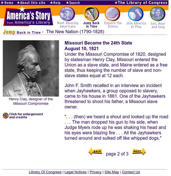
Loc: Missouri Became the 24th State
As Missouri became a state, America was divided by slavery. This site from the Library of Congress offers a description of the events, as well as a railroad map, a painting of the Missouri Squadron, and a bust of Henry Clay, designer of...
Library of Congress
Loc: Missouri Became the 24th State
As Missouri became a state, America was divided by slavery. This site from the Library of Congress offers a description of the events, as well as a railroad map, a painting of the Missouri Squadron, and a bust of Henry Clay, designer of...
University of Oregon
Mapping History Project: Missouri Compromise: 1820
Interactive map showing free states and territories and slave states and territories before and after the Missouri Compromise of 1820. Click on the map to choose before or after and the key. Shockwave required.
University of Oregon
University of Oregon: Mapping History: Kansas Nebraska Act: 1854
Toggle back and forth on this interactive map to see how the Kansas-Nebraska Act of 1854 completely negated the Missouri Compromise. Click on the map to see where slavery was permitted before 1854 and then after. Be sure to click on the...
Independence Hall Association
U.s. History: The Kansas Nebraska Act
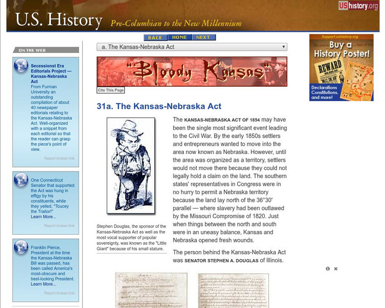
Read about the essential repeal of the Missouri Compromise, which had established which states could be slave and which would be free for thirty years, with the rancorous passage of the Kansas-Nebraska Act. See who supported it and why,...
University of Oregon
University of Oregon: Mapping History: Compromise of 1850: Status of Slavery
An interactive map that clearly shows the change in the status of slavery in territories from the Missouri Compromise to the Compromise of 1850. Click on the map to see the status before and after the Compromise of 1850.


