Hi, what do you want to do?
PurposeGames
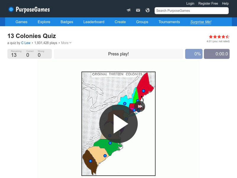
Purpose Games: Can You Identify the 13 Original Colonies of the Usa?
Play this interactive game to test your knowledge of the original thirteen colonies. Can you find them on a map?
Maps of Mexico
Virtual Picture Travel Map of Florida
Click on Florida and take a virtual tour of Daytona, Orlando, Cocoa Beach, West Palm Beach, Ft. Lauderdale, Miami, Key West, Naples, Fort Myers Beach, Fort Myers, St. Petersburg, Clearwater and Tampa. Visit places of interest such as the...
Maps of Mexico
Virtual Picture Travel Map of Florida
Click on Florida and take a virtual tour of Daytona, Orlando, Cocoa Beach, West Palm Beach, Ft. Lauderdale, Miami, Key West, Naples, Fort Myers Beach, Fort Myers, St. Petersburg, Clearwater and Tampa. Visit places of interest such as the...
BBC
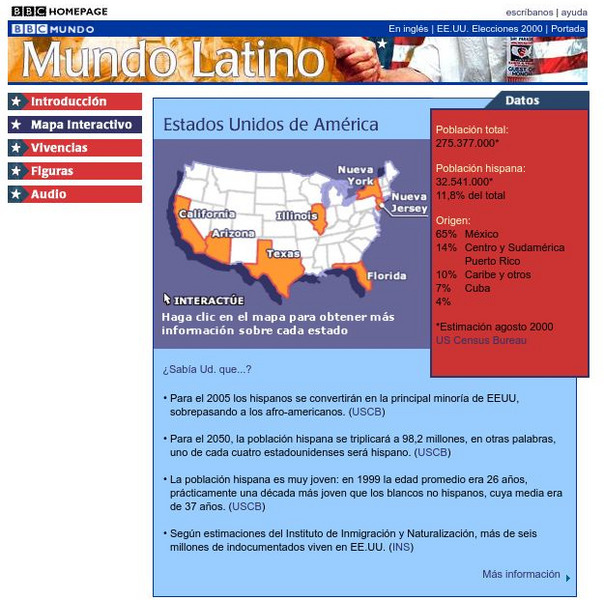
Bbc: Estados Unidos De America/united States of America
Review accurate and up to date statistics on the population of Hispanics in the United States. Click on the different states and find how Hispanics are becoming the number one minority in the United States.
Houghton Mifflin Harcourt
Holt, Rinehart and Winston: Estados Unidos
Easy-to-read Spanish map of the United States with country information below. A nice site with links to the States and the rest of the world's countries as well!
Other
First Gov: Official Portal of the u.s. Government
A launching point for information about the U.S. government and its resources. One can search FirstGov by keyword or phrase, by browsing a topics list, or by selecting a federal branch (executive, legislative, or judicial). State and...
Houghton Mifflin Harcourt
Holt, Rinehart and Winston: World Atlas: United States
Features a detailed map of the United States with some basic facts. Click on each state name to get even a more detailed map and information.
Digital Dialects
Digital Dialects: Geography Games: States of the Usa
Study a map showing the states in the USA, and then try to match their names to their locations on a blank map.
University of Texas at Austin
Perry Castaneda Library Map Collection: u.s. Maps
At this site find any type of map on the U.S. and any of its states here. Great site for teachers to print out maps to use in the classroom.
Texas Instruments
Texas Instruments: Navigating the Usa With the Coordinate Plane
The students will be plotting points on the United States Map. This background and activity could be used and/or modified to fit any social studies class. Students could explore topics ranging from graphing coordinates in pre-algebra to...
Information Technology Associates
Information Technology Associates: Quick Maps
View countries of the world. Maps are quick and easy to read. Some are designed to be printed out for coloring and/or labeling.
Enchanted Learning
Enchanted Learning: Alabama Facts, Map and State Symbols
Do you need information about Alabama? Find facts, a map, and state symbols. Pictures of many of the state symbols are included.
Burke Museum
Burke Museum: Waterlines: Discover & Explore Seattle's Past Landscapes
Seattle is one of the most dramatically engineered cities in the USA. This rich interactive website enables people to see how Seattle's various landscapes have changed over time. The site starts out with an interactive map of the Puget...
DLTK
New York State Map
Provides a blank map of New York. Teachers will find many uses for this in the classroom. Students will enjoy coloring it and locating different parts of the state.
DLTK
Michigan State Map
Provides a blank map of Michigan. Teachers will find many uses for this in the classroom. Students will enjoy coloring it and locating different parts of the state.
DLTK
Minnesota State Map
Provides a blank map of Minnesota. Teachers will find many uses for this in the classroom. Students will enjoy coloring it and locating different parts of the state.
DLTK
Mississippi State Map
Provides a blank map of Mississippi. Teachers will find many uses for this in the classroom. Students will enjoy coloring it and locating different parts of the state.
DLTK
Missouri State Map
Provides a blank map of Missouri. Teachers will find many uses for this in the classroom. Students will enjoy coloring it and locating different parts of the state.
DLTK
Tennessee State Map
Provides a blank map of Tennessee. Teachers will find many uses for this in the classroom. Students will enjoy coloring it and locating different parts of the state.
DLTK
Wisconsin State Map
Provides a blank map of Wisconsin. Teachers will find many uses for this in the classroom. Students will enjoy coloring it and locating different parts of the state.
DLTK
Texas State Map
Provides a blank map of Texas. Teachers will find many uses for this in the classroom. Students will enjoy coloring it and locating different parts of the state.
University of Groningen
American History: Essays: The Iron Horse: Advanced Technology
From a lengthy essay on the history of the railroad in the United States. This section describes the debate over the construction of railroads, the competition between canals and railroads, and the companies that were building rail...
Enchanted Learning
Enchanted Learning: Major Rivers of Texas
This is a very brief site that offers a map with the major rivers of Texas.
Enchanted Learning
Enchanted Learning: Pennsylvania: Facts, Map, and State Symbols
A list of key facts about the state of Pennsylvania, including information about Pennsylvania's state symbols. Useful extras for teachers include black-line masters of concept diagrams, maps, and thought organizers.


