Hi, what do you want to do?
NOAA
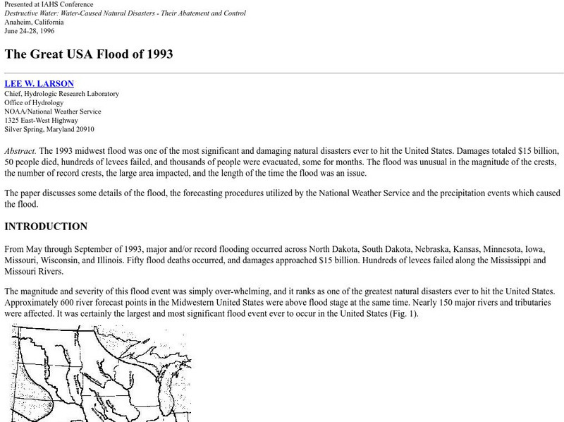
Noaa: The Great Usa Flood of 1993
Interesting abstract about the flood that hit the Midwest in 1993, one of the worst floods in United States History. Find out why the flood occurred, the damage, maps of the damage, charts, graphs, and statistics.
Burke Museum
Burke Museum: Waterlines: Discover & Explore Seattle's Past Landscapes
Seattle is one of the most dramatically engineered cities in the USA. This rich interactive website enables people to see how Seattle's various landscapes have changed over time. The site starts out with an interactive map of the Puget...
DLTK
New York State Map
Provides a blank map of New York. Teachers will find many uses for this in the classroom. Students will enjoy coloring it and locating different parts of the state.
DLTK
Michigan State Map
Provides a blank map of Michigan. Teachers will find many uses for this in the classroom. Students will enjoy coloring it and locating different parts of the state.
DLTK
Minnesota State Map
Provides a blank map of Minnesota. Teachers will find many uses for this in the classroom. Students will enjoy coloring it and locating different parts of the state.
DLTK
Mississippi State Map
Provides a blank map of Mississippi. Teachers will find many uses for this in the classroom. Students will enjoy coloring it and locating different parts of the state.
DLTK
Missouri State Map
Provides a blank map of Missouri. Teachers will find many uses for this in the classroom. Students will enjoy coloring it and locating different parts of the state.
DLTK
Tennessee State Map
Provides a blank map of Tennessee. Teachers will find many uses for this in the classroom. Students will enjoy coloring it and locating different parts of the state.
DLTK
Wisconsin State Map
Provides a blank map of Wisconsin. Teachers will find many uses for this in the classroom. Students will enjoy coloring it and locating different parts of the state.
DLTK
Texas State Map
Provides a blank map of Texas. Teachers will find many uses for this in the classroom. Students will enjoy coloring it and locating different parts of the state.
University of Groningen
American History: Essays: The Iron Horse: Advanced Technology
From a lengthy essay on the history of the railroad in the United States. This section describes the debate over the construction of railroads, the competition between canals and railroads, and the companies that were building rail...
Enchanted Learning
Enchanted Learning: Major Rivers of Texas
This is a very brief site that offers a map with the major rivers of Texas.
Enchanted Learning
Enchanted Learning: Pennsylvania: Facts, Map, and State Symbols
A list of key facts about the state of Pennsylvania, including information about Pennsylvania's state symbols. Useful extras for teachers include black-line masters of concept diagrams, maps, and thought organizers.
Enchanted Learning
Enchanted Learning: Zoom School: United States of America
Use this resource to explore each state to get facts, maps and symbols; learn about the presidents; read about bald eagles and dinosaur fossils found in the U.S., find fun and exciting patriotic crafts and more.
Constitutional Rights Foundation
Constitutional Rights Foundation: The Great Qing Code: Law and Order During China's Last Dynasty [Pdf]
Article and lesson on the evolution of Chinese law and order which reached its pinnacle during the Qing Dynasty. Includes article, map, primary source exceprt, and questions for discussion. In addition, students learn about the Qing Code...
Constitutional Rights Foundation
Constitutional Rights Foundation: A Fire Waiting to Be Lit: The Origins of World War I
Complete learning module on the origins of World War I. Includes article with map, photos, primary source excerpts and questions for discussion as well as four common core activities, instructions and handouts for students and teachers....
ABCya
Ab Cya: Geography Practice: Usa Puzzle Map
Assemble a puzzle of the United States to test your knowledge of its geography.
University of Washington
University of Washington: Socialist Party of America History and Geography
Two dozen interactive maps and charts reveal the changing strength and geography of the Socialist movement.
Other
North Carolina
A brief overview of the state of North Carolina can be found here. A map of the state and statistics on individuals cities are offered as well.
University of Washington
University of Washington: Communist Party Usa History and Geography
Maps and charts detail electoral support, showing the number and percentage of votes for Communist candidates in every county and state from 1922 to 1946, party membership by state or district from 1922-1950, the intense geography of...
PBS
Pbs American Experience: Race for the Superbomb
This site explores the Cold War race to develop the hydrogen bomb, a weapon that would change the world. Content details all the people who were involved in the race for the H-Bomb, as well as notable events during this time period....
EL Education
El Education: Springfield, Usa an Atlas
Students from Springfield, Massachusetts learn about geography by creating maps and gathering information about the cities and towns named Springfield throughout the United States of America. Students gather information through book and...
DLTK
Massachusetts State Map
Provides a blank map of Massachusetts. Teachers will find many uses for this in the classroom. Students will enjoy coloring it and locating different parts of the state.
DLTK
South Dakota State Map
Provides a blank map of South Dakota. Teachers will find many uses for this in the classroom. Students will enjoy coloring it and locating different parts of the state.


