Rainforest Alliance
Knowing the Essential Elements of a Habitat
To gain insight into the many different types of habitats, individuals must first get to know their own. Here, scholars explore their school environment, draw a map, compare and contrast their surroundings to larger ones. They then...
Curated OER
Designing a Hiking Trail
Put your students' map skills to the test with this engaging cross-curricular project. Given the task of developing new hiking trails for their local community, young cartographers must map out beginner and intermediate...
K-State Research and Extensions
Water
How are maps like fish? They both have scales. The chapter includes six different activities at three different levels. Scholars complete activities using natural resources, learn how to read a map, see how to make a compass rosette,...
It's About Time
Volcanic Hazards: Airborne Debris
Pupils interpret maps and graph data related to volcanic ash. Then they analyze the importance of wind speed and the dangers of the ash to both life, air temperature, and technology.
Curated OER
Cartography Project
A lesson involving mapping, the use of a compass, writing and following directions, and exploring the first two themes of geography is here for you. Learners create original maps that show the routes they take through their own...
Teaching Tolerance
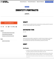
Identity Portraits
When you look at me, what do you see? Young learners answer this question by creating a portrait that reflects the identity of one of their peers. First, class members create interview questions. Then, they interview classmates to...
Curated OER
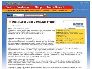
Middle Ages Cross Curriculum Project
Middle schoolers complete several projects on the Middle Ages. In this world history lesson, students complete language arts, social studies, math, and science projects. Some of these include: comparing a teenager's life now to that in...
Curated OER
Classroom Supplies
Challenge young mathematicians to buy classroom supplies by staying within the means of a $1,000 budget. The mathematical activity provides learners with the opportunity to decide what items from the supply list would benefit a class of...
Curated OER
The Big Apple
This lesson has various activities that can be done simultaneously in groups or one at a time with the entire class. The activities center around New York and apples.
National Geographic
National Geographic: Measuring Distances on a Map
Activities will enhance students' understanding of how to read the map scale and apply it to measuring distances between locations.
Rice University
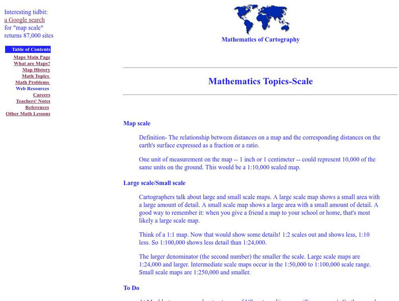
Rice University: Cynthia Lanius: Mathematics of Cartography: Scale
Definition of map scale with related cartography links and activity at Mapblast in which students create maps of their own and determine distance and scale.
TeachEngineering
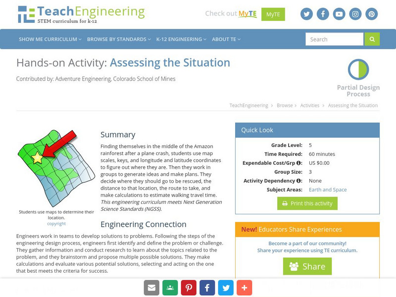
Teach Engineering: Assessing the Situation
In this activity, students will use the scale, the key, and longitude and latitude on a map to determine where they have crashed. They will then use the map scale to determine the distance to the nearest city and how long it will take...
Scholastic
Scholastic: Hunting for States, Capitals, and National Parks! [Pdf]
Students can use a map of the United States to locate state capitals and national parks.




![Scholastic: Hunting for States, Capitals, and National Parks! [Pdf] Activity Scholastic: Hunting for States, Capitals, and National Parks! [Pdf] Activity](https://content.lessonplanet.com/knovation/original/480522-367e1f79d58efef695e5c826460eaadd.jpg?1661587497)