Artisan Global
QuakeFeed Earthquake Map, Alerts and News
Amateur seismologists explore Earth's earthquakes in real time using a variety of map styles and parameter selections.
Laboratory for Atmospheric and Space Physics
Charting the Progress of New Horizons
In 2006, New Horizons began its mission to fly to Pluto. As it continues its journey, scholars track its progress with the help of an informative website, all the while reinforcing measurement concepts with the construction of a scaled...
Rainforest Alliance
Knowing the Essential Elements of a Habitat
To gain insight into the many different types of habitats, individuals must first get to know their own. Here, scholars explore their school environment, draw a map, compare and contrast their surroundings to larger ones. They then...
Oregon State
World Map of Plate Boundaries
Young geologists piece together the puzzle of plate tectonics in an earth science lesson. Given a physical map of the world, they search for land formations that indicate the location of different types of plate boundaries.
It's About Time
Volcanic Hazards: Airborne Debris
Pupils interpret maps and graph data related to volcanic ash. Then they analyze the importance of wind speed and the dangers of the ash to both life, air temperature, and technology.
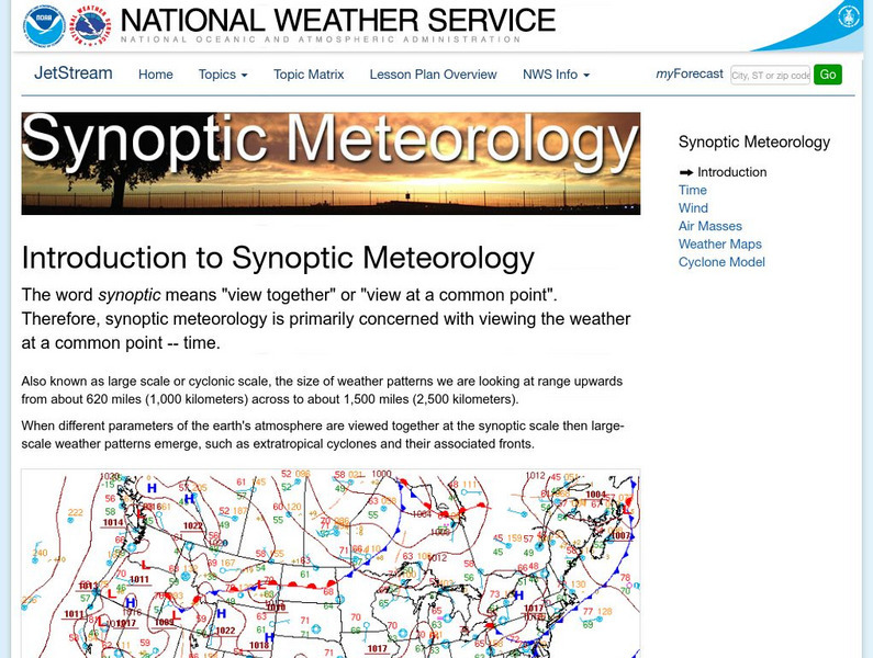
National Weather Service
National Weather Service: Jetsream: Synoptic Meteorology
The National Weather Service presents this site on synoptic meteorology, large-scale weather systems. Learn about the structure and behavior of the atmosphere, including clouds, precipitation, winds and more. Also includes learning...
US Geological Survey
Us Geological Survey: Water Properties: P H
This resource explains what pH is and how it relates to water. The resource includes a colored graphic of the pH levels and a map of pH levels around the USA.
University of Illinois
University of Illinois Urbana Champaign: Ww2010: Units of Temperature
The Kelvin, Celsius and Fahrenheit temperature scales are discussed. Site lists and explains formulas for converting between the different scales.
The Environmental Literacy Council
Environmental Literacy Council: Temperature
The difference between heat and temperature is explained, followed by a discussion of temperature and its relation to global climate change. Gallileo Galilee, Daniel Gabriel Fahrenheit, Anders Celsius, and Carl Linnaeus are mentioned in...
Other
University of Wisconsin Green Bay: Faults and Earthquakes
This site is primarily set up as an outline and is loaded with graphs, maps, and images. It covers a variety of earthquake-related topics, such as what causes earthquakes, fault lines and structures, seismology, a historical look at...
Alberta Online Encyclopedia
Alberta Online Encyclopedia: Geology
The geology of Alberta is profiled on this site. Drop menus reveal sub-topics ..geological time scale, rock formations in Alberta, and so forth.Graphics and maps are included.
Other popular searches
- Math Map Scales
- Using Map Scales
- Reading Map Scales
- Identify Map Scales
- Use Map Scales
- Geography Map Scales
- Comparing Map Scales
- Map Scales Conversion
- Geography Map Scales
- Making Map Scales
- Map Scales Lesson Plans
- Math Map Scales Problems


