Curated OER
Minors And Contracts
Students study the rules regarding minors and contracts. Students study the parts of a contract and identify which contracts minors can legally cancel.
Curated OER
The Role of International Organizations in Peacekeeping
Eighth graders are given two case studies. They determine if the United Nations should become involved, and if so, in what capacity? students explain their decisions based on a set of criteria determined by the class.
Curated OER
Volcanoes: Mount Vesuvius
Students explain how volcanoes form. In this earth science activity, students identify the different types of volcanoes. They create brochures about Mt. Vesuvius before and after the eruption.
Enchanted Learning
Enchanted Learning: Washington
This site has a colorful display of information about Washington. It contains a map, pictures, a list of state symbols, and links to related information.
Cayuse Canyon
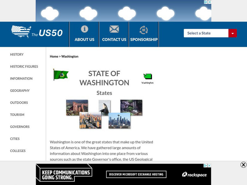
The Us50: Washington State
Features excellent information regarding the state of Washington history, famous people, cities, geography, state parks, tourism, and historic sites. A fact sheet of information and a quiz are also available.
A&E Television
History.com: The States
Learn unique facts about each American state. You can also read a more in-depth history of each state, watch videos and play a game about all the states.
Johns Hopkins University
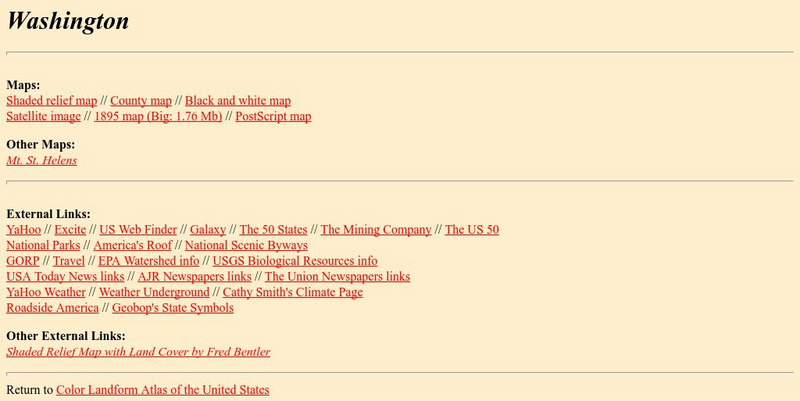
The Johns Hopkins University: Washington State Maps
This site from The Johns Hopkins University Applied Physics Laboratory allows you to learn more about Washington through these different types of maps. This site contains a black and white map, a county map, a satellite image map, a...
A&E Television
History.com: Washington, the Evergreen State
A great site for learning unique things about Washington as well as the usual facts. You can also read about the history, watch a brief video, find images and statistics.
Kidport
Kidport: United States of America Geography
This site contains a fun way to learn about the states within the United States. Click on the state that you want to learn more about and it provides facts, geographic landmarks, points of interest, major industries, a quiz and more.
University of Washington
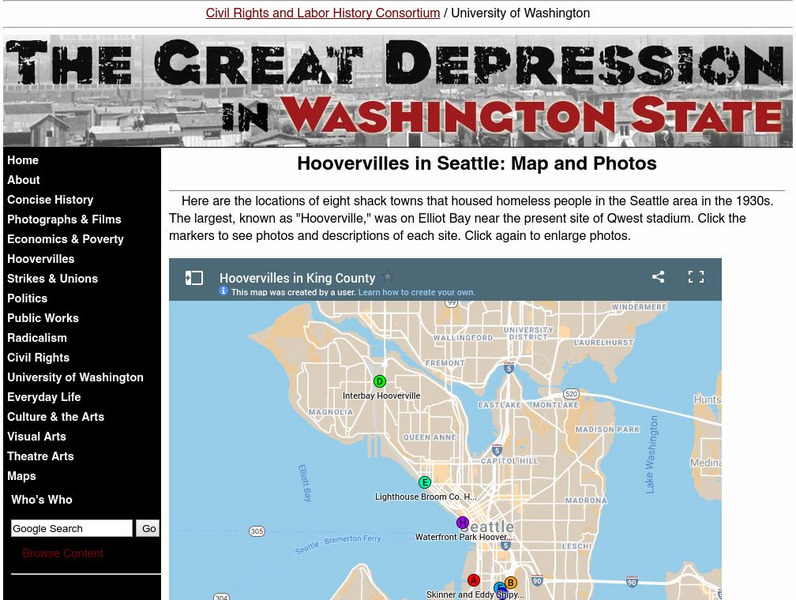
University of Washington: Hoovervilles in Seattle: Map and Photos
Shack towns, known as Hoovervilles, housed the homeless during the Great Depression. Use the following pictures and map to visualize what these Hoovervilles looked like and where they were located throughout the state of Washington.
Other
Travel in Washington: Washington State Travel
Although designed for tourists, this site offers excellent photographs of the state highlights, such as the Grand Coulee Dam, Puget Sound, San Juan Islands, Seattle, Sokane, Columbia River, etc., along with brief captions. The maps have...
CRW Flags
Flags of the World: Clickable Map of the United States
Includes both printable images and fascinating trivia behind the flag of each state. It includes alternate flags used in the past.
History Link
History Link: Online Encyclopedia of Washington State History
This "free public and educational resource" provides information on many facets of the history and people of Washington state. There are slide shows, cybertours, maps, documents, timelines, and a section for teachers and students.
Other
Embassy of Honduras in Washington, d.c.
This is the official website of the Embassy of Honduras in the United States. Has an abundance of information on tourist destinations and general facts on country-specific topics including art, geography, climate, government, history,...
University of Washington
University of Washington: Timeline and Map of Woman Suffrage Legislation State by State 1838 1919
Interactive maps show the woman suffrage campaign year-by-year and state-by-state from 1838-1919.
University of Washington
University of Washington: Civilian Conservation Corps Camps in Washington State
The Civilian Conservation Corps (CCC) was one of the most popular New Deal programs. See where the camps were located in Washington and click on the icon for pictures and descriptions.
University of Washington
University of Washington: Communist Party Usa History and Geography
Maps and charts detail electoral support, showing the number and percentage of votes for Communist candidates in every county and state from 1922 to 1946, party membership by state or district from 1922-1950, the intense geography of...
University of Washington
University of Washington: May 1970 Student Antiwar Strikes
Overview of the May 1970 antiwar strikes on college campuses involving over a million students including a map and list of 883 campuses where protest activities were reported.
University of Washington
The Great Depression in Washington State: Hoovervilles and Homelessness
Information about the Hoovervilles in Seattle, Washington, and surrounding cities during the Great Depression. Find maps that show the locations of shack towns around the city, and follow hyperlinks that give a deeper look at...
US Government Publishing Office
Ben's Guide to u.s. Government: Our Nation
Cartoon Ben Franklin guides students through a simple geography lesson about the seven continents, North America, the fifty states, and Washington, D.C.
Curated OER
Educational Technology Clearinghouse: Maps Etc: United States, 1888
A map from 1888 of the United States showing state boundaries and state capitals, major cities and towns, mountain systems, lakes, rivers, and coastal features. Longitude from Greenwich is shown at the top of the map, and from Washington...
Curated OER
Etc: Maps Etc: Commercial Map of the United States, 1872
A commercial map from 1872 of the United States showing the principal railroad and steamship routes in the region at the time. The map shows state boundaries and capitals, major cities and ports, submarine telegraph cables to Europe,...
Curated OER
Educational Technology Clearinghouse: Maps Etc: The State of Texas, 1858
A map from 1853 of Texas showing the capital at Austin, county lines at the time, principal cities and towns, railroads, mountains, rivers, and coastal features. The map shows the tribal lands in the western part of the state. Longitudes...
Curated OER
Educational Technology Clearinghouse: Maps Etc: Mexico, 1872
A map from 1872 of Mexico, showing states and state capitals, major cities, towns, and ports, railroads, lakes and rivers, mountain systems, terrain, and coastal features. Steamship routes to major ports are shown, with distances marked...
Other popular searches
- Washington State Map
- U.s. States Map Washington
- Us States Map Washington
- Washington State Map Skills


