Teach Engineering
Who Can Make the Best Coordinate System?
Working with a map that does not have a coordinate system on it, small, collaborative teams must come up with a coordinate system for their map. Groups then explain their coordinate structure to the class.
Geophysical Institute
Latitude and Longitude with Google Earth
Travel the world from the comfort of your classroom with a lesson that features Google Earth. High schoolers follow a series of steps to locate places all over the earth with sets of coordinates. Additionally, they measure the distance...
It's About Time
Renewable Energy Sources - Solar and Wind
There has been a huge solar energy spill! Let's go outside to play in it. This lesson includes multiple experiments showcasing solar and wind energies. Scholars build a solar heater and an anemometer before testing the results. The...
Teach Engineering
Searching for Bigfoot and Others Like Him
Individuals create a GIS data layer in Google Earth that displays information about where one might find seven different cryptids. The class members research to find data on cryptid sightings they can include in their data...
It's About Time
Taking a Ride on a Lithospheric Plate
Assist your pupils and broaden their horizons with several activities that determine the exact positioning of various communities over the globe. Pupils use data from the Global Positioning System to determine the position and rate of...
Iowa State University
Emergency & First Aid Orientation
Here you'll find a presentation that covers a wide range of emergency and first aid topics, such as evacuation planning, what to do in the event of a fire or severe weather, and addressing a number of medical emergencies, such as...
It's About Time
The Electricity and Magnetism Connection
Magnets don't grow in fields, but magnetic fields are important to understand. The lesson covers the effect electricity has on magnetic fields. Scholars use a compass, magnets, and electrical wire to test magnetic fields and energy...
Other
Geoscience Australia: Map Reading Guide: How to Use Topographic Maps [Pdf]
A topographic map can be challenging to read. This guide explains how to decipher one and how to use a magnetic compass to orient yourself to the landscape. It also explains how to use GPS coordinates.
Rice University
Rice University: Cynthia Lanius: Mathematics of Cartography: Coordinate System
A coordinate system such as latitude/longitude is an example of absolute location. Links to Greenwich/Prime Meridian.
Rice University
Rice University: Cynthia Lanius: Mathematics of Cartography: What Are Maps?
Defines what maps are and provides illustrations and related links to a site devoted to cartography.
Other
Boat Safe Kids: Longitude and Latitude
This website starts at the very beginning and explains how round globes are transferred to flat maps. Then they explain the use of longitude and latitude.
Rice University
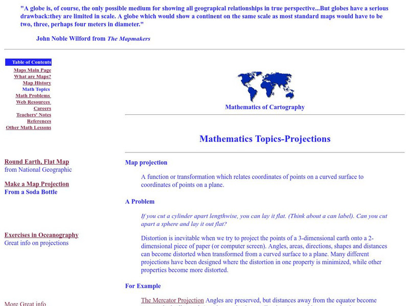
Rice University: Cynthia Lanius: Mathematics of Cartography: Projections
Understanding map projections is an important map-reading skill. Features graphics and links to examples of many different projections and an activity on making a Mercator projection.
Wolfram Research
Wolfram Math World: Map
A brief description of a map. There are also many links about related map topics, included on this MathWorld site.
Simon Fraser University
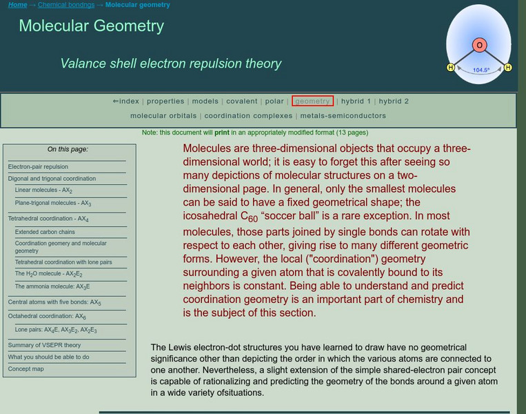
Chem1 Virtual Textbook: Molecular Geometry
An advanced explanation of the valence shell electron pair repulsion (VSEPR) theory describes specific molecular models involving digonal, trigonal, tetrahedral, and octahedral coordination, as well as central atoms with five bonds....
Geographic
Photius Coutsoukis Home Page: Honduras Geography
Learn all about the geography of the country of Honduras from this web site. It describes its location, map references, geographic coordinates, area, land boundaries, coastline, and much more.


![Geoscience Australia: Map Reading Guide: How to Use Topographic Maps [Pdf] Handout Geoscience Australia: Map Reading Guide: How to Use Topographic Maps [Pdf] Handout](https://static.lp.lexp.cloud/images/attachment_defaults/resource/large/FPO-knovation.png)


