Curated OER
Map Coordinates: Monkey Map
Here's an engaging, meaningful, and clever lesson on map skills for elementary schoolers. Pupils combine story writing with mapping skills to create an original piece of work. They utilize a worksheet embedded in the plan to guide them...
Curated OER
Isoseismal Maps
Young scholars examine the difference between magnitude and intensity in earthquakes. They complete map work and write a first hand account of a person living in each level of intensity on the Modified Mercalli Scale.
EngageNY
Building Background Knowledge: Jigsaw to Build and Share Expertise about the 2010 Haiti Earthquake, Part 1
Using the Jigsaw protocol, scholars study chunks of text from a speech given by former US presidents following a devastating 2010 earthquake in Haiti. As they read the speech in small groups, they build background knowledge and share...
Curated OER
Northridge, California Earthquake Map
In this earthquake intensity learning exercise, students are given a map labeled with the intensity of shaking for the Northridge area and its surroundings for the earthquake that occurred in 1994. Students color an intensity scale and...
EngageNY
Synthesizing Information from Texts about Natural Disasters: What Makes an Earthquake a Natural Disaster?
Are all disasters natural? Scholars reread Earthquakes! to determine what classifies these events as a natural disaster. They label earthquake facts as N for natural or D disaster to support their ideas. They then discuss academic...
EngageNY
Building Background Knowledge: Jigsaw to Build and Share Expertise about the 2010 Haiti Earthquake, Part 2
Calling all experts! Using the educational resource, pupils work together in small expert groups, reading an article about the 2010 Haiti earthquake. As they read, they record two main ideas and supporting details from the text.
Curated OER
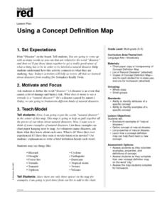
Using a Concept Definition Map
Students define "natural disaster" by offering examples and charting them to discover what a concept definition map is. Then students create their own maps using the word "city".
Curated OER
Earth and Space Science: Exploring Earthquakes
Students explore earthquakes. In this earthquake lesson, students research earthquakes and identify where they take place. Students use map skills to track down earthquake locations. There are internet sites suggested in this lesson.
Curated OER
Let Me Tell You About...
Learners comprehend the differences between flat maps and relief or topographical maps. They recognize how forces such as earthquakes, volcanoes, water, and wind-as well as human actions--have altered the Earth's surface. Students work...
Houghton Mifflin Harcourt
Nature’s Fury: Extra Support Lessons (Theme 1)
Earthquakes, hurricanes, volcano eruptions, and more. To enrich their study of nature's big events, kids map tectonic plates and major earthquake locations, identify emergency response agencies, and storyboard a film about volcanos.
Curated OER
The Biggest Plates on Earth
The best part about teaching guides is all the great information you can use to inform your class. They infer what type of boundary exists between two tectonic plates. Then, using given information on earthquakes and volcanism they'll...
Curated OER
The Earth's Crust
Young scholars use clay to form models of the different landforms and then complete a data table using a map, atlas, or the Internet to locate famous landforms in the United States. Students complete various activities, writing down...
Curated OER
Shaky New Zealand
Students explore geography by answering study questions in class. In this plate tectonics lesson, students identify the earthquake data concerning the country of New Zealand and answer questions regarding the data. Students identify...
Curated OER
Front Page News
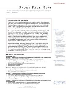
Learners write original earthquake articles typically found on the front page of a newspaper. Each student has the freedom to write in a variety of writing styles (lead story, human interest story, editorials, etc.). They research...
Curated OER
Active Volcanoes, Plate Tectonics and the "Ring of Fire"
In this volcanoes, plate tectonics and "Ring of Fire" worksheet, students view the location of volcanoes on a map of the Earth, they see the "Ring of Fire" and they locate the major plates of the Earth's crust. They use the map as...
Curated OER
Lesson on GPS
Students investigate global positioning systems. In this technology and mapping lesson, students view a PowerPoint presentation in which they identify the features of a GPS, state its uses, and follow steps to find a waypoint.
Curated OER
Volcanoes
Second graders review the characteristics and aspects of volcanoes. Using this information, they write a creative story and draw illustrations to accompany the words. They use geographical terms to describe a location and the physical...
Curated OER
Taiwan on Shaky Ground
Students, in groups, examine how various elements of Taiwan's infrastructure were affected in the September 21, 1999 earthquake by analyzing a number of newspaper articles on the quake and its aftermath.
Curated OER
The 50 States and its Holidays
Though the format of this ELL lesson is confusing (the standards listed are for plate tectonics, yet the objectives are for American geography and holidays), a teacher could glean some ideas from the main idea. Here, pupils complete a...
Curated OER
A Model of Three Faults
Learners investigate faults. For this science lesson, students explore the many stresses and strains in the earth's layers and research the types of faults in their state.
Curated OER
Zoo Welcomes Baby Animals
Students engage in activities to gain a better understanding of endangered animals. In these animal lessons, students use vocabulary and comprehension skills to gain a better understanding of endangered animals. They also watch video...
Channel Islands Film
Island Rotation: Lesson Plan 1
How do scientists provide evidence to support the theories they put forth? What clues do they put together to create these theories? After watching West of the West's documentary Island Rotation class members engage in a series of...
Scholastic
Hill of Fire Teaching Plan
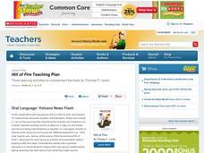
Some books are perfect for drawing connections between multiple subjects. The book Hill of Fire becomes the hub for three very different, yet related activity ideas. First the class hones their oral language skills by creating an...
Curated OER
English Vocabulary Skills: AWL Sublist 10 - Exercise 1b
In this online interactive English vocabulary skills worksheet, students answer 10 matching questions which require them to fill in the blanks in 10 sentences. Students may submit their answers to be scored.


