Hi, what do you want to do?
Google
Google Maps: Virtual Tour of Pergamon Museum, Berlin
Take a virtual tour through the Pergamon Museum located on Museum Island in Berlin. This world famous museum has life-size, reconstructed monuments from ancient civilizations, including the Pergamon Altar of Zeus, the Roman Market Gate...
United Nations
Unesco: Ancient City of Damascus
Damascus in Syria was founded in the third millennium BC. Its long history reveals the influences of many ancient civilizations, most particularly the Hellenistic, Roman, Byzantine and Islamic civilizations. This World Heritage website...
United Nations
Unesco: Archaeological Ruins at Moenjodaro
This World Heritage website looks at the ancient city of Moenjodaro in the Indus Valley. Found here are a description, maps, documentation, photos, videos, and information about funding assistance for its preservation.
Other
Mali: Ancient Crossroads of Africa
Very thorough web site featuring a guide for teaching the history, geography, and economics of the early West African empire of Mali. By clicking on the links on top, you will uncover a wealth of resources providing information,...
University of Manchester
Children's University of Manchester: Explore Ancient Egypt
Explore and learn about places in Ancient Egypt on this interactive map. Next, try to place them to the correct locations on the map, and take a quiz on facts you read about them.
Tom Richey
Tom Richey: Power Point: The Persian Empire
Tom Richey's PowerPoint presentation on the Persian Empire includes a comprehensive overview of ancient Persia with maps, informational text, and humor.
Northern Illinois University
Niu: The Americas' Oldest Pyramids, Cities
A comprehensive site offering a detailed description of the excavation of Caral in Supe Valley, Peru. Links from this site offer downloadable pictures, maps, and diagrams of the pyramid. A short video of a researcher explaining the...
Other
Metrocosm: Watch as the World's Cities Appear One by One Over 6,000 Years
Observe the rise of civilizations from 3500BC to the present with this "living" map. See where the first cities developed and watch as civilizations spread across the world.
Other
Bradshaw Foundation: Journey of Mankind
An interactive map that shows how early humans traveled out of Africa and spread throughout the world. Starts from pre-150,000 B.C. and shows the history of how humans were able to populate the world. At each step there is information...
United Nations
Unesco: Historic Centre of Rome, Properties of Holy See
This World Heritage website looks at Rome's historic center and the Basilica of St. Paul's Outside the Walls. Found here are a description, maps, documentation, photos, videos, and any indicators of threats to their integrity.
United Nations
Unesco: Archaeological Site of Olympia
This World Heritage website features Olympia, the site of the ancient Greek Olympics. Found here are a description, links, a map, documentation, and photos of its many archaeological treasures.
Curated OER
Educational Technology Clearinghouse: Maps Etc: Arabia, 700 Bc
A map of Arabia and adjacent countries around 700 BC to "Illustrate the historic era at the beginning of records.". This map shows regions of fertile lands, sandy deserts, steppe deserts, and mountain ridges. The Tigris, Euphrates, and...
United Nations
Unesco: Shushtar Historical Hydraulic System
The Shushtar Historical Hydraulic System, now a World Heritage Site in Iran, was first built in the 5th century BC, and is still partly operational today. The complexity of this site is testament to the engineering genius of the...
University of Texas at Austin
Geodia
An easy way for people to visualize the temporal, geographic, and material aspects of ancient Mediterranean civilizations. The map displays important archaeological sites and historical events of the ancient Mediterranean world in both...
United Nations
Unesco: Historic Centre of Naples
This World Heritage website features Naples, first founded by the Greeks in 470 BC as Neopolis. Found here are a description of its long history, links, a map, documentation, photos, and any indicators of threats to its integrity.
Other
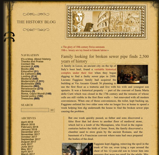
History Blog: Family Looking for Broken Sewer Pipe Finds 2,500 Years of History
A fascinating story about a family in Lecce, Italy, who made a major archaeological discovery while digging under their house to find the source of a problem in the pipes that led to a toilet. What they found instead was an entire...
United Nations
Unesco: Early Christian Monuments of Ravenna
This World Heritage website features Ravenna in Italy, which was the center of the Roman Empire at one point, and later of the Byzantine Empire in Italy. Presented on this website are eight Christian buildings, and their mosaics, from...
United Nations
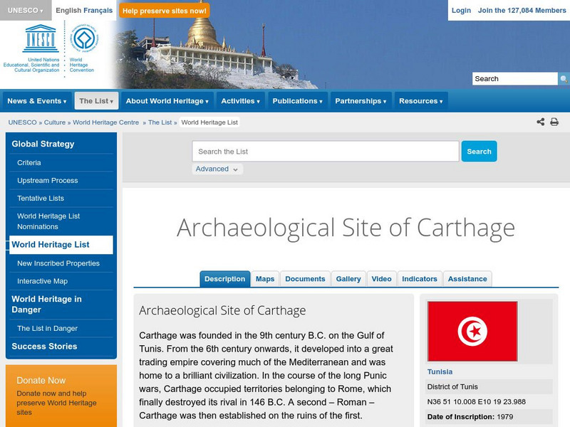
Unesco: Archaeological Site of Carthage
This World Heritage website looks at ancient Carthage, located in Tunisia. Found here are a description, maps, documentation, photos, videos, any indicators of threats to its integrity, and information about funding assistance for its...
United Nations
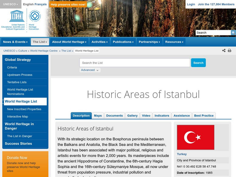
Unesco: Historic Areas of Istanbul
This World Heritage website looks at historic Istanbul, located in Turkey. Found here are a description, maps, documentation, photos, videos, any indicators of threats to its integrity, and information about funding assistance for its...
Other
Peru Cultural: The Incas
An award winning site that uncovers the lost Incan civilization. Features include history, administration, technology, arts, and maps. A sophisticated account of the Incas that is well worth a visit.
Curated OER
Educational Technology Clearinghouse: Maps Etc: North China, 1971
" North China includes the densely populated and intensively cultivated North China Plain, the loess-covered uplands of Shansi, northern Shensi, and eastern Kansu, and the sparsely populated, semiarid steppes of Inner Mongolia....
Curated OER
Etc: Maps Etc: Babylonia Before the Semitic (Chaldaean) Conquest, About 4000 Bc
A map of Babylonia, in current Iraq, before the Semitic (Chaldaean) Conquest, about 4000 B.C. This map shows the early territories of Makan and Melucha between the rivers Tigris and Euphrates, with the Makan capital Ur inhabited by the...
Curated OER
Educational Technology Clearinghouse: Maps Etc: Europe, 1904
"Europe - Greece has the honor of being in the van of European civilization and power, but in the seventh century before Christ a rival sprang up in Italy, which in the course of time attained such vigor that Greece at last was humbled...
National Geographic Kids
National Geographic Kids: Egypt
Click-through facts-and-photo file about Egypt's geography, nature, history, people and culture, and government. Includes a map of the country that pinpoints its African location and a video about the ancient civilization that flourished...


