University of Texas at Austin
Perry Castaneda Library Map Collection: Mexico Maps
This site provides a wealth of maps relating to the country of Mexico.
Other
Didactalia: Mapas Interactivos: Physical Relief of Mexico
Explore the map of Mexico and try to identify the types of landforms. Available in multiple languages.
Other
Didactalia: Map of Mexico
Interactive map of Mexico depicting rivers and other physical features.
Enchanted Learning
Enchanted Learning: New Mexico
This site has a colorful display of information about New Mexico. It contains a map, pictures, a list of state symbols, and links to related information.
NOAA
Noaa: Regional Climate Maps: Mexico
This homepage provides links to precipitation and temperature maps of Mexico.
Central Intelligence Agency
Cia: World Factbook: Mexico
This resource from the CIA World Factbook provides a detailed fact sheet of Mexico. The content covers the country's geography, people, government, economy, communications, transportation, military, and transnational issues. It includes...
Other
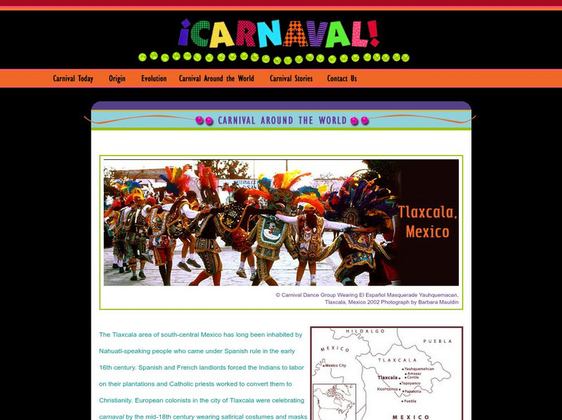
Museum of International Folk Art: Carnaval Around the World; Tlaxcala, Mexico
From the exhibit "Carnaval Around the World" at the Museum of International Folk Art, we have a feature page on the celebration as it occurs in Tlaxcala, Mexico. With a description, photos, map and audio clip this is a nice glimpse into...
InterKnowledge Corp.
Geographia: Mexico Introduction
Explore the magical world of Mexico. Learn about the history and culture of this diverse country as well as tour the country through pictures.
Lizard Point Quizzes
Lizard Point: Mexico: Federal States Quiz
Try this interactive geography quiz which tests your knowledge about the federal states of Mexico.
Cayuse Canyon
The Us50: New Mexico
Offers comprehensive information regarding New Mexico history, famous people, cities, geography, state parks, tourism, and historic sites. A fact sheet of information and a quiz are also available.
The Newberry Library
Newberry Library: Art and Exploration in the American West and Mexico
Lesson on the 19th Century representation through art and maps of indigenous population and territory of the American West and Mexico. Primary source documents and questions for discussion are included.
Other
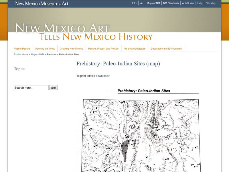
New Mexico Museum of Art: Prehistory: Paleo Indian Sites
Download a great map of New Mexico showing the Paleo-Indian sites from 10,000 B.C. to 5,500 BC. [pdf]
Climate Zone
Climate in Mexico
Tables for the different climate regions in Mexico show the average monthly temperature, rainfall and snowfall in this North American country. General geographical information and a map are also included.
Nations Online Project
Nations Online: Mexico
Offers a virtual destination guide and country profile of Mexico, background overview, and numerous links to comprehensive information on the country's culture, history, geography, economy, environment, population, news, government, and...
National Geographic Kids
National Geographic Kids: Mexico
Click-through facts-and-photo file about Mexico's geography, nature, history, people and culture, and government. Includes a map of the country that pinpoints its North American location and a video about the spectacular Copper Canyon in...
Mex Connect
Mexconnect: Chihuahua, Mexico
This resource provides information on Chihuahua, a state in Mexico. Includes a map, pictures, and information about the state and cities.
Houghton Mifflin Harcourt
Holt, Rinehart and Winston: America Del Norte: Mexico
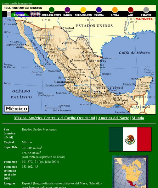
This site has a map of Mexico in Spanish, with informational data also presented in Spanish about the country. Land mass, population, life expectancy, literacy, industry, agriculture, minerals and resources are among the topics...
Enchanted Learning
Enchanted Learning: Mexico Map: Quiz Printout
Utilize the Mexico map quiz to test student's knowledge of geography, location of cities and capitals in Mexico.
Curated OER
Etc: Maps Etc: Mexico and Western North America, 1845
A map of Mexico in 1845, prior to the ceding of the northern territories to the United States in 1846. The map shows the territories of Oregon, Texas, and Central America under Mexican control, and the frontiers of the Missouri and...
Curated OER
Educational Technology Clearinghouse: Maps Etc: Mexico and Texas, 1845 1848
A map of Mexico and Texas from the annexation of the Republic of Texas by the United States (1845) to the end of the Mexican-American War (1848). The map is color-coded to show the territory of Texas in 1845, the territory of dispute...
Curated OER
Educational Technology Clearinghouse: Maps Etc: Mexico and West Indies, 1855
A map of Mexico, Central America, and the West Indies showing the foreign territorial possessions and independent countries in the region in 1855. The map is color-coded to show the territorial and island possessions at the time of Spain...
Curated OER
Science Kids: Science Images: Map of Mexico
A map featuring Mexico and its neighboring countries.
Johns Hopkins University
The Johns Hopkins University: New Mexico State Maps
This site from The Johns Hopkins University Applied Physics Laboratory contains several New Mexico geographical maps. It is very informative. Use this site to view a historical perspective with the 1859 map.


