Hi, what do you want to do?
Curated OER
NATO Geography & Language
The class receives background information on NATO, an atlas, and a blank world map. They color the original 1949 countries in red, the 1952 additions in green, and the 1990 additions in blue. This exercise would be a good starting point...
Curated OER
The Renaissance, Background
Learners are introduced to the Renaissance by viewing a PowerPoint presentation. In this Renaissance lesson, students locate the important countries and cities of the Renaissance. Learners compare how it was in England from the rest of...
Curated OER
Immigration and American Life on African-Americans
Learners examine how human migration started in Africa, and draw maps of Africa and place the names of the countries and capitals on the maps. They write essays on how Africans came to America.
Curated OER
Number The Stars
Students read a book about prejudices that occur in our daily lives. They describe characters in the book. Students discuss real life events of World War II and the Holocaust. Students simulate hiding Jews from the German soldiers. ...
Curated OER
Medieval Knight Life
Students research the Middle Ages. In this Middle Ages lesson, students complete lessons about feudalism, life on a manor, chivalry and knighthood, an activity about the Battle of Hastings, the growth of Middle Age towns, the trial by...
Curated OER
Immigration
Students explore the concept of immigration. In this immigration lesson, students read literature, analyze photographs, and evaluate political cartoons that reflect feelings about immigration in America during Industrialization....
Curated OER
Cultural Anthropology Study Using the Fundamentals of Geography and GPS
High schoolers, in groups, operate the GPS unit, plotting each head stone with accompanying description. Two other students to log in data that corresponds to the given points. One student to note general observations
Curated OER
Let's Spice It With Pepper
Students identify and locate the areas in which pepper and spices orginated. On a map, they locate the areas and write the name of the spice that is found there. They use historical events to trace its route to the Americas. They...
Curated OER
Mapmakers' Perspective
Students examine several maps and consider mapmakers' perspective in early depictions of North America.They determine how the spherical shape of the earth makes any north-south and east-west orientation a matter of perspective. For...
Curated OER
South Carolina Voices: Lessons from the Holocaust
Students examine the location of the Holocaust. In this mapping lesson, students analyze two maps identifying the area in which the Holocaust took place. Students familiarize themselves with the symbols used during this time period...
Curated OER
The Lesson: Bio-fuels
Students explore the pros and cons of bio-fuel use. In this environmental stewardship lesson plan, students visit selected websites to discover what bio-fuels are and the effect they may have on the environment.
Curated OER
Seeing through Immigrants' Eyes
Students assume the perspective of an immigrant moving to Texas. They write a diary entry from an immigrant's perspective, describing how they arrived in their new town, what steps they take to get settled, and their feelings about their...
Curated OER
Introduction to the Reformation
Ninth graders investigate the Protestant Reformation. In this global history lesson, 9th graders examine the provided primary sources that enable students to create posters and presentations that reveal how Catholicism, Lutheranism,...
Curated OER
Introduction to World War II
Eleventh graders recognize why wars are started and identify and color 3 countries involved with World War II.
Curated OER
Korean War
Students identify and interpret general information about the Korean War, including important dates, terms, events, and participants. They also identify what the Cairo Declaration was and what military forces, political forces, and...
Curated OER
Lesson 3: Japan's "Southern Advance" and the March toward War, 1940-1941
High school historians interpret historical evidence presented in primary resources to decide if the southern advance was a reckless step toward war, or if it was reasonable. They research the Japanese southern advance tactics during the...
Curated OER
The Alphabet is Historic: The Roman Alphabet is our Alphabet
Students show that the Greeks, Phoenicians and Romans lived in the Mediterranean area. They give reasons why the alphabet was important for the Romans. and say that the Romans developed the alphabet they are learning in school.
Lizard Point Quizzes
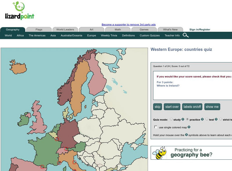
Lizard Point: Western Europe: Countries Quiz
Test your geography knowledge by taking this interactive quiz over the countries of Western Europe.
University of Texas at Austin
Perry Castaneda Library Map Collection: Historical Maps of Europe
This collection from the University of Texas Library Online of historical maps contains a wide variety of maps from various parts of Europe and from different parts of history. Each map is accompanied by a brief description and is clear...
Library of Congress
Loc: World War Ii Military Situation Maps
World War II Military Situation Maps contains maps showing troop positions beginning on June 6, 1944 to July 26, 1945. Starting with the D-Day Invasion, the maps give daily details on the military campaigns in Western Europe, showing the...
Curated OER
Etc: Maps Etc: Western Europe During the Third Inter Glacial Stage, 25,000 Bce
Map of Western Europe, at a time when sea levels were much lower and the British Isles were connected with the mainland. Major river routes are shown extending to the theoretical coastline of the period. According to the authors in 1916,...
Other
The Map as History: Europe's Colonial Expanision 1820 1939
European countries began exploring and seeking to dominate the rest of the world during the 15th and 16th centuries, thanks to their ability to control sea routes and to the discovery of the American continent. In the 19th century,...
ClassFlow
Class Flow: Western Europe
[Free Registration/Login Required] I have created a brief flip chart to introduce my students to Western Europe. I have 3 different maps of Europe and slides on each of the Western European Countries.
Encyclopedia of Earth
Encyclopedia of Earth: Jersey (United Kingdom)
The Encyclopedia of Earth provides an overview of Jersey (United Kingdom), including its geography, natural resources, history, government, economy, and much more. Maps and images are also included, along with sources used to create the...


