University of California
Earthguide: Maps: Shaded Relief: South America [Pdf]
View a digital image of a colored shaded relief map of South America.
Ducksters
Ducksters: Geography Games: Map of South America
Play this fun geography map game to learn about the locations of the countries of South America.
Other
Seterra: South America: Countries Map Quiz Game
Test your knowledge and see if you can place all the countries of South America in their correct spot!
Ducksters
Ducksters: Geography for Kids: South America
Explore the flags, maps, exports, natural resources, geography, and languages of South America on this site.
Ducksters
Ducksters: Geography Games: Capital Cities of South America
Play this fun geography map game to learn about the capital cites of the countries of South America.
Other
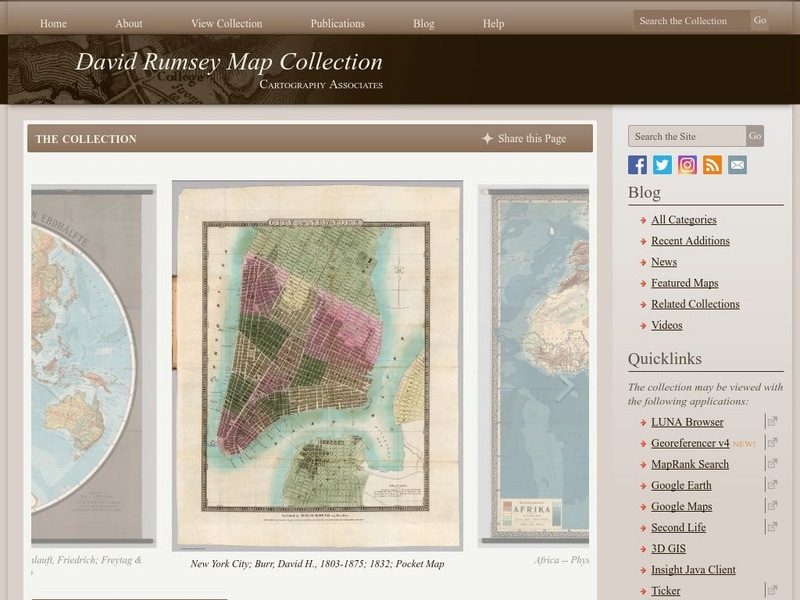
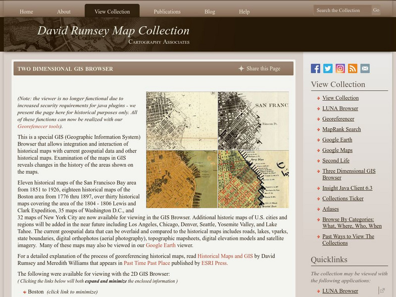
The David Rumsey Historical Map Collection
"The David Rumsey Historical Map Collection focuses on rare 18th and 19th century North and South America cartographic history materials. Historic maps of the World, Europe, Asia, and Africa are also represented. The collection...
University of Texas at Austin
Perry Castaneda Library Map Collection: Venezuela Maps
This site provides several country and city maps as they relate to Venezuela.
University of Oregon
Mapping History: Latin American History
Interactive and animated maps and timelines of historical events and time periods in Latin American history from 1898 to 2000.
NOAA
Noaa: Cpc: Regional Climate Maps
Provides large colorful maps of climate data about each continent for the current week, month, or previous quarter.
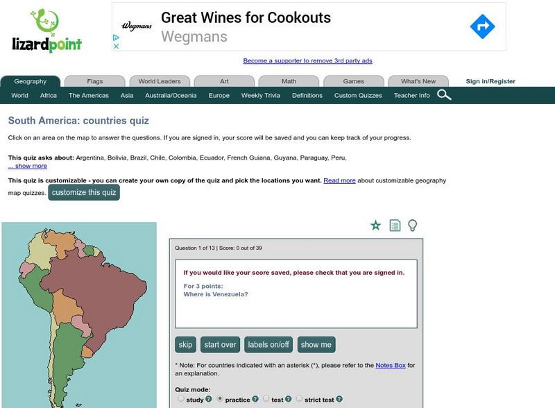
Lizard Point Quizzes
Lizard Point: The South America Quiz
Take this interactive map quiz from Lizard Point to practice and test your knowledge of South American geography.
Other
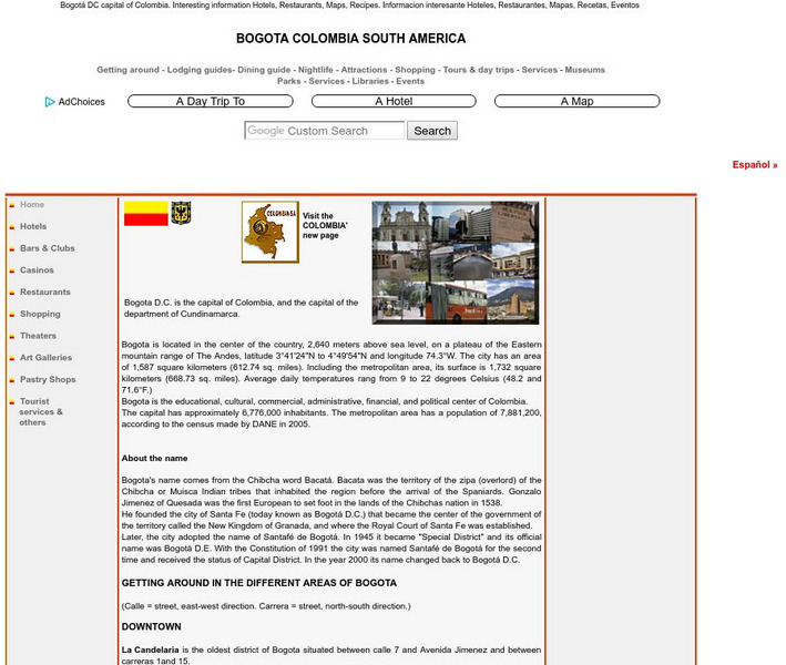
Bogota Colombia South America
Comprehensive reference tool that allows the reader to learn about the history of Bogota while discovering places to visit, sites of interest, maps, parks, lodging and dining, and much more.
Other
Geography Quiz: Northern South American Cities
Have fun trying to locate famous cities in northern South America on a map. Do you know where Paramaribo is? See how much you know!
Other
Geography Quiz: Southern South American Cities
Have fun trying to locate famous cities in southern South America on a map. Do you know where Asuncion is? See how much you know!
University of Texas at Austin
Ut Library Online: Historical Map Collection
This extensive collection from the University of Texas Library Online of detailed maps of many regions of the Earth.
Ducksters
Ducksters: Geography Games: Flags of South America
Play this fun geography map game to learn about the flags of the countries of South America.
University of Texas at Austin
University of Texas: Perry Castaneda Library: Brazil Maps
Presents a great collection of maps all having to do with Brazil. There are country maps, city maps, and thematic maps that cover topics such as politics, geography, economy, land use, population, climate, and more.
Google
Google Maps: Galapagos Islands
Explore isolated volcanic islands. Charles Darwin's observations and collections of the Galapagos wildlife in 1835 contributed to his theory of evolution by natural selection. [7:08]
InterKnowledge Corp.
Geographia: Latin America
This Geography portal to Latin America features maps, photos, and drawings relating to each country. Click on desired country icon to see related pages.
University of Texas at Austin
Univerisity of Texas: Maps of the Americas
A large collection of maps of all countries in the Americas including relief maps, political maps, and reference maps.
Other
David Rumsey Historical Map Collection
The collection of more than 150,000 maps focuses on rare 18th and 19th-century maps of North and South America, although it also has maps of the World, Asia, Africa, Europe, and Oceania. The collection includes atlases, wall maps,...
University of Arizona
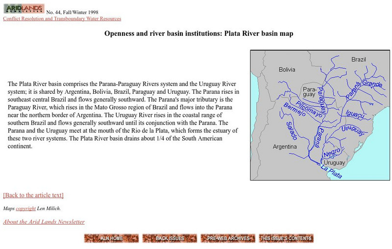
Plata River Basin Map
View a map of the Plata River basin, which is made up of the Parana-Paraguay and Uruguay River systems. Includes a short description of the region.
Curated OER
Educational Technology Clearinghouse: Maps Etc: South America, 1898
A map of South America in 1898. The map shows capitals and major cities, railroads, terrain, rivers, and coastal features, and includes an insert map of the Isthmus of Panama. "The chief industries in South America are herding,...
Curated OER
Educational Technology Clearinghouse: Maps Etc: Southern South America, 1920
A map from 1920 showing the southern part of South America, including the national, state, and territory borders at the time for Argentina, Paraguay, Uruguay, southern Chile, and southern Brazil. The map shows capitals and other major...
![Earthguide: Maps: Shaded Relief: South America [Pdf] Graphic Earthguide: Maps: Shaded Relief: South America [Pdf] Graphic](https://d15y2dacu3jp90.cloudfront.net/images/attachment_defaults/resource/large/FPO-knovation.png)


