Adventure Learning Foundation
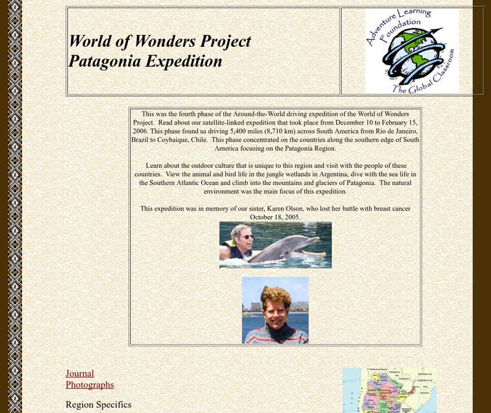
Adventure Learning Foundation: Patagonia Expedition
Take an exciting tour of the Patagonia region in South America in this engaging site. Students discover the history, economy, geography, climate, and people of this region. It includes maps, journal excerpts, photographs, and classroom...
Science Struck
Science Struck: List of Latin American Countries With Their Capitals
Presents a map and list of all the Latin American countries, along with their capitals, population, land area, and names of the largest cities. (Note: Puerto Rico is a territory of the United States, not a country on its own.)
Adventure Learning Foundation
Adventure Learning Foundation: Brazil
Useful guide with an abundance of country specific information about the South American country of Brazil. Content covered includes photos, symbols, history, economy, geography, climate, population, culture, maps, and lesson plans.
Encyclopedia of Earth
Encyclopedia of Earth: Bolivia
Provides an overview of Bolivia, including its geography, natural resources, history, government, economy, and much more. Maps and images are also included, along with sources used to create the entry.
Other
Ecuador Pictures
A pictorial photo gallery of Ecuador that demonstrates the beauty of this small South American country. View animals, landscapes, towns, monuments, parks, the Rainforest, waterfalls, and so much more.
Hans Lohninger
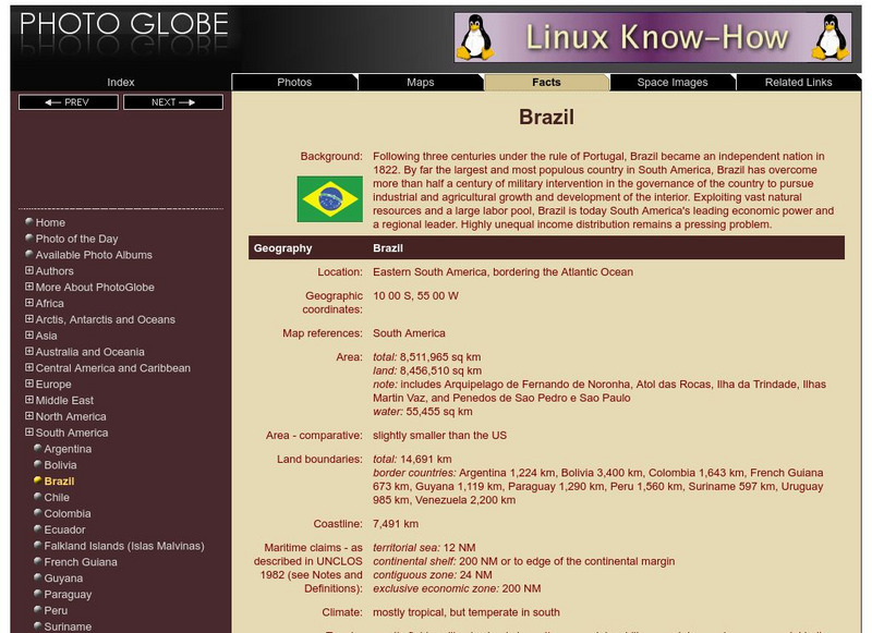
Photo Globe: Brazil
Presents many general country specific facts about Brazil in a well organized chart form. Content includes: geography, people, government, economy, communications, transportation, military, and transnational issues. This site is enriched...
Hans Lohninger
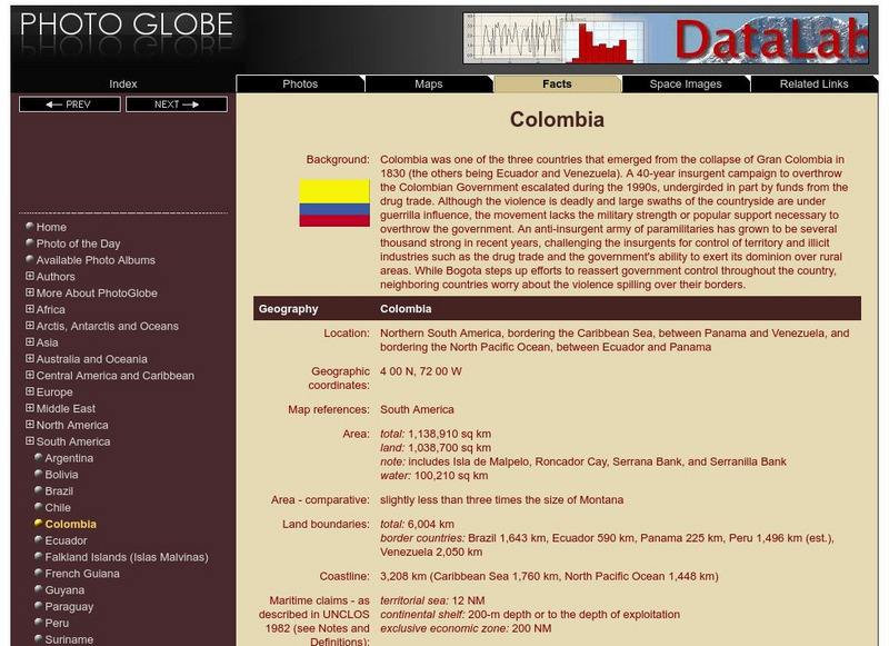
Photo Globe: Colombia
Presents many general country facts about Colombia in a well organized chart form. Content includes: geography, people, government, economy, communications, transportation, military, and transnational issues. This site is enriched by...
Hans Lohninger
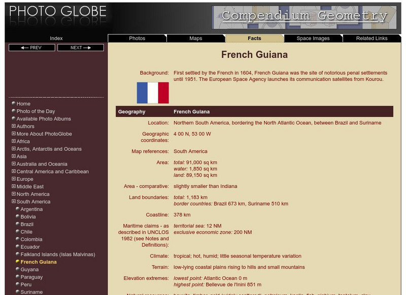
Photo Globe: French Guiana
Features many country specific facts about French Guiana in a well organized chart form. Content includes: geography, people, government, economy, communications, transportation, military, and transnational issues. This site is enriched...
Hans Lohninger
Photo Globe: Guyana
Offers general country specific facts about Guyana in a well organized chart form. Content includes: geography, people, government, economy, communications, transportation, military, and transnational issues. This site is enriched by a...
Hans Lohninger
Photo Globe: Paraguay
Provides many general country facts about Paraguay in a well organized chart form. Content includes: geography, people, government, economy, communications, transportation, military, and transnational issues. This site is enriched by a...
Hans Lohninger
Photo Globe: Suriname
Examines general country specific facts about Suriname in a well organized chart form. Content includes: geography, people, government, economy, communications, transportation, military, and transnational issues. This site is enriched by...
Hans Lohninger
Photo Globe: Uruguay
Explores general country facts about Uruguay in a well organized chart form. Content includes: geography, people, government, economy, communications, transportation, military, and transnational issues. This site is enriched by links to...
World Facts US
World Facts: Geography of Venezuela
Features detailed information about the topography, climate, and hydrography of Venezuela. Click on the link to take a look at the map.
Information Technology Associates
Theodora: Colombia 2017
A complete resource for country-specific information on Colombia. Full of useful facts on geography, population, religion, military, international issues, history, government, economy, communications, transportation, and more. Links to...
Information Technology Associates
Theodora: Guyana 2017
Great starting point for a research paper. Covers a broad list of topics including geography, maps, population, religion, military, international issues, history, government, economy, communications, transportation, and photos.
Information Technology Associates
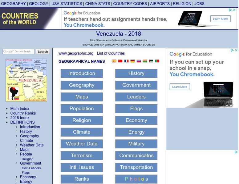
Theodora: Venezuela 2017
Current country-specific information compiled from a variety of sources. Learn about Venezuela's geography, population, climate, people, government, economy, communications, international issues, religion, and more. Be sure to click on...
Information Technology Associates
Suriname 2017
Comprehensive country-specific information compiled from a variety of sources. Explore Suriname's geography, population, climate, people, government, economy, communications, international issues, religion, and more. Be sure to click on...
Other
Peru Cultural: The Incas
An award winning site that uncovers the lost Incan civilization. Features include history, administration, technology, arts, and maps. A sophisticated account of the Incas that is well worth a visit.
Curated OER
Educational Technology Clearinghouse: Maps Etc: South American Rainfall, 1901
A map from 1901 showing mean annual rainfall in South America. The map shows the equatorial rain belt in July and in January, the direction of prevailing winds and their effect on rainfall patterns. The map shows regions ranging from...
Curated OER
Educational Technology Clearinghouse: Maps Etc: South American Heat Belts, 1901
A map from 1901 of the Heat Belts in South America showing the Heat Equator in July, regions where it is always hot, regions of temperate winters and hot summers, and regions where it is always temperate. "There is comparatively little...
Curated OER
Educational Technology Clearinghouse: Maps Etc: Early Spanish Map of Peru, 1774
A facsimile of an early Spanish map of Peru and northwest South America, from the Paris (1774) edition of Zarate. The map is in French, and the map coverage extends from Panama to the Paria River delta (Orinoco) of Venezuela in the north...
Curated OER
Educational Technology Clearinghouse: Maps Etc: Patagonia, 1911
A map from 1911 showing the region of Patagonia at the southern tip of South America from Buenos Aires in Argentina to Cape Horn on Tierra del Fuego, and includes the Falkland Islands (Islas Malvinas) as a British possession. The map...
Curated OER
Educational Technology Clearinghouse: Maps Etc: Tierra Del Fuego, 1915
Map of Tierra del Fuego at the southern tip of South America, including Punta Arena (the southernmost city of the world), predominant mountain peaks (Mt. Hope, Mt. Darwin, Mt. Sarmiento), the Strait of Magellan, local natural resources...
Curated OER
Educational Technology Clearinghouse: Maps Etc: Brazil and Guiana, 1914 1919
Map of eastern part of South America in 1919.
