Curated OER
Mississippi Delta Blues Moves: Second in a Series of Three with Barb Hoffman and Steve Hoskins, MGM
Students complete a graphic organizer reviewing Barb Hoffman's prior lesson," Slave Songs (1840-1876)" as well as listen to and discuss Delta Blues music samples. Students research one Delta Blues singer and write a "color coded"...
Curated OER
Corps of Discovery
Students assess their knowledge of the Corps of Discovery through a written pretest, follow the journey of Lewis and Clark on the internet, record data on events, dates, places, people, animals, distance traveled, and geographic...
Curated OER
SC Populations Along Major Interstates
Students examine the population among the interstates in South Carolina. Using the internet, they identify the counties and roads and compare it with their own drawing.
Curated OER
On the Trail with Lewis and Clark
Eighth graders use the Internet to conduct research on the Lewis and Clark journals and work cooperatively in planning and delivering a presentation.
Curated OER
Learning about a Culture from a Story
Students identify environmental influences on a traditional culture, animals and plants important to a traditional culture, and interpret the identity of a traditional culture from objects and a creation story.
Curated OER
"What Do You Mean?" How Language Changes Over Time
Students examine words used at Jamestown in 1607. They predict what the words meant in 1607, write sentences using three of them, then analyze the sentences after they have read the actual definitions of the words.
Curated OER
Weather and the D-Day Invasion
Students study the weather that occurred during the invasion of Normandy. They research using the Internet to locate information about the invasion and the meteorologists who helped during the war effort. They
Curated OER
China
Sixth graders become more aware of how land features, climate, and vegtation affect civilization. Students are divided into groups and research one of China's regions. They make a relief of their designated area.
Curated OER
Civilization in Ancient Mesopotamia
In this ancient Mesopotamia worksheet, middle schoolers respond to 29 short answer and fill in the blank questions about the ancient civilization.
Curated OER
Political Geography of Europe
Fifth graders listen to a lecture that traces the political geography of Europe from 814 through 1997. They incorporate these themes into a research project on Western Europe.
Curated OER
Routing Explorers
Students read excerpts from an explorer's journal and then become investigators and navigators themselves. Students answer questions about the difficulties and time it took for the explorers to travel from Washington to New Orleans and...
Curated OER
Utah American Indian and non-Indian Conflicts
Seventh graders examine Utah's struggle for statehood. They study the relationship between American Indian and non-Indians during the Utah Territorial period and determine that the process of statehood involving cultures, and ideas left...
Annenberg Foundation
Annenberg Learner: United States History Map: The Nation Expands
After examining a map showing the expansion of the United States, click to read about each addition to the country and see where that addition is. Play Expansion Concentration to test your skills.
The Newberry Library
Newberry: Historical Geography of Transportation: Map 10: United States, 1835
Lessons K-12 examining the role of transportation systems in the development and settlement of the lands between the Appalachian Mountains and the Mississippi River.
Annenberg Foundation
Annenberg Learner: United States History Map: From Sea to Shining Sea
A great interactive map that reinforces your knowledge of the geographic features of the United States. Begin by reading general information on reading maps, then play the game.
National Geographic
National Geographic: Mapping u.s. Watersheds
Students will identify and explore major rivers and watersheds in the United States.
NOAA
Noaa: Estuaries 101 Curriculum: Where Rivers Meet the Sea
A complete learning module where students watch an introductory video, take an estuary quiz, learn about landforms related to the environment, and use maps and real-time data to study estuary ecosystems in the United States.
Library of Congress
Loc: Map Collections 1500 2002
This collection provides maps dating back to 1500 up to the present. The collection includes: cities, towns, discovery and exploration, conservation and environment, military battles, cultural landscapes, transportation, communication,...
Library of Congress
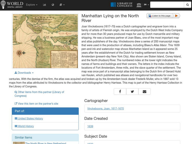
World Digital Library: Manhattan Lying on the North River
A historic map of Manhattan created by cartographer Joan Vinckeboons around 1639 for the Dutch West India Company. A feature on the page allows the visitor to listen to and read the accompanying descriptive text in seven different...
Then Again
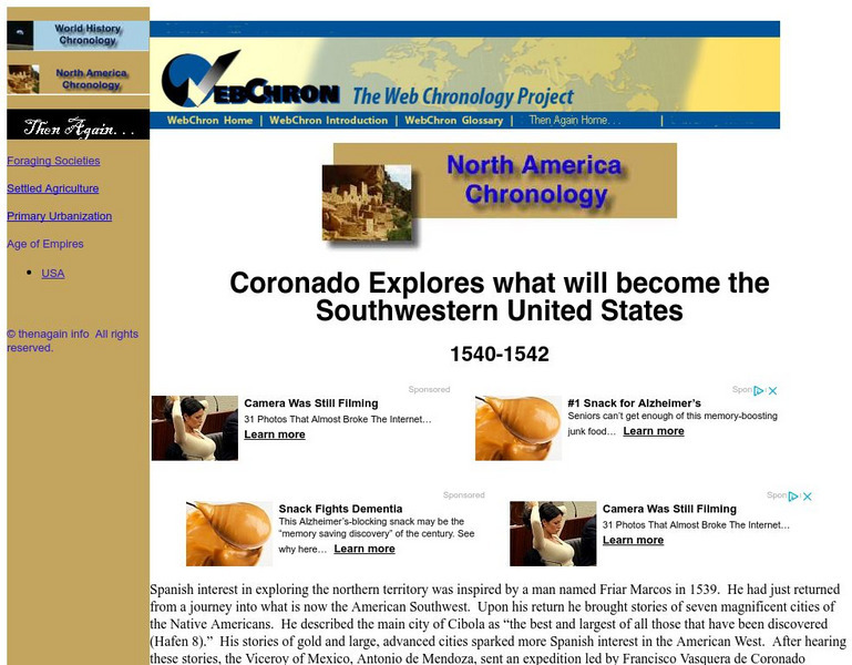
Then Again: Web Chron: Coronado Explores the Southwestern United States
This page details Coronado's expedition, the discovery of the Grand Canyon and the search for Quivira. Click on the map for a closer look at Coronado's Expedition.
Curated OER
Educational Technology Clearinghouse: Maps Etc: The Early United States, 1790
A map of the United States in 1790 showing the territorial claims of the states at the time, and the British and Spanish possessions and territory disputes. The map shows the frontier lines or extent of settlement from the coast of Maine...
Curated OER
Educational Technology Clearinghouse: Maps Etc: The United States, 1800
A map of the United States in 1800 showing the territorial claims of the states at the time, the British and French possessions, and territory disputes. The map shows the frontier lines or extent of settlement from the coast of Maine to...
Curated OER
Mountains, Plains, Rivers, Isothermal Lines of the United States, 1873
A map from 1873 of the United States showing the physical features of mountain systems, plateaus, basins, plains, rivers, lakes, and coastal features, with elevations given for prominent peaks given in feet above sea level. The map is...
Curated OER
Educational Technology Clearinghouse: Maps Etc: The United States, 1790
A map of the early United States in 1790 showing the boundary established west to the Mississippi River, and is keyed to show undefined or disputed boundaries, boundaries of States and territories, and boundaries not settled. The map...


