University of Texas at Austin
Ut Library: Perry Castaneda Maps of New York
A collection of maps of the state of New York, including links to city maps, historical city maps, and maps of National Parks, Monuments, and historical places.
DLTK
New York State Map
Provides a blank map of New York. Teachers will find many uses for this in the classroom. Students will enjoy coloring it and locating different parts of the state.
Johns Hopkins University
The Johns Hopkins University: New York State Maps
This site on maps is provided for by The Johns Hopkins University Applied Physics Laboratory. Have you ever wondered what New York state looks like from a satellite image? Find out by using this website. There are several other maps to...
NSTATE
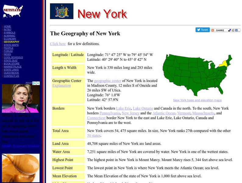
Net State: The Geography of New York
Learn about the geography of New York. Includes latitude and longitude information, as well as information about the highest and lowest areas of land.
Other
State University of New York at Stony Brook: New York State Historical Maps
Historical maps of New York and descriptions of each map.
Agriculture in the Classroom
National Agriculture in the Classroom: A Look at New York Agriculture [Pdf]
What a terrific site to learn about a variety of aspects of the agricultural industry. You will find bulleted facts on the New York climate, soil, crops, and animals.
Other
State of New Jersey: New Jersey Regions
Site provides information about different regions within the state of New Jersey, such as Atlantic City, Delaware, Gateway, Shore, and Skylands. Specific details and attractions are described for each region.
Other
New York State Canals: Erie Canal Map
This site has a map of the Erie Canal and lets you zoom in on different parts of the Canal to view where the locks are.


![National Agriculture in the Classroom: A Look at New York Agriculture [Pdf] Handout National Agriculture in the Classroom: A Look at New York Agriculture [Pdf] Handout](https://d15y2dacu3jp90.cloudfront.net/images/attachment_defaults/resource/large/FPO-knovation.png)
