Hi, what do you want to do?
NOAA
Mapping the Deep-Ocean Floor
How do you create a map of the ocean floor without getting wet? Middle school oceanographers discover the process of bathymetric mapping in the third installment in a five-part series of lessons designed for seventh and eighth graders....
NOAA
Mapping the Ocean Floor: Bathymetry
Bathymetry is not a measure of the depths of bathtubs! Through the three lessons, scholars explore two different types of maps and how they are made. The resource focuses on topographic and bathymetric maps and teaching the techniques...
University of Southern California
What Is The Ocean?
Go on a tour of the ocean through the lens of a scientist. Learners read maps of the ocean floor, study tide behavior, examine wave motion, and analyze components of soil. Each lesson incorporates a hands-on component.
Curated OER
Coasts and Reefs: Shallow Marine Processes
A more thorough presentation on coastal systems would be difficult to find! Detailed diagrams illuminate the offshore, shoreface, foreshore, and backshore zones of beach. The sources and movement of sediments along the coastline...
NOAA
Into the Deep
Take young scientists into the depths of the world's ocean with the second lesson of this three-part earth science series. After first drawing pictures representing how they imagine the bottom of the ocean to appear, students...
NOAA
Watching in 3D
Bring the ocean floor to life! Earth science scholars discover the process of deep sea mapping in the third installment in a series of five lessons about ocean exploration. The teacher's guide includes helpful resources, worksheets, and...
Curated OER
Mapping The Ocean Floor
Young scholars explore and analyze the bottom structure of underwater habitats. They describe and explain what can't see through the collection and correlation of accurate data. Learners assess that technology is utilized as a tool for...
Curated OER
Oceans Socratic Questioning
Students participate in a whole class discussion of ocean-floor structures and plate tectonics. They respond to prompts in a structured sequence that lead them to conclusions about the role of plate tectonics in the creation of sea-floor...
Ocean Explorer
Easy as Pi
Seamounts are large, extinct volcanoes that rise up from the bottom of the ocean floor. They are a relatively new landform in the scientific community, and this lesson invites students to learn about the amazing diversity of life found...
Curated OER
Earth: The Water Planet
Students elicit data on the water cycle, ocean topography, and island formation in this six lesson unit. The ocean floor and the properties of water are examined through a variety of discussions and hands-on experiments.
Curated OER
How Volcanoes Grow
Learners study volcanoes including rock fragments, ash, aerosols and gases. In this volcano lesson students divide into groups and build models of the three major types of volcanoes.
Curated OER
Oceanography
Fifth graders study the topography of the ocean floor. They determine its ever changing nature as they examine currents and trade winds. They write paragraph describing how the winds might affect land formations after the discussion of...
NOAA
Wet Maps
How do oceanographers make maps under water? Junior explorers discover the technologies and processes involved in creating bathymetric maps in part three of a five-part series designed for fifth- and sixth-grade pupils. The lesson...
Curated OER
Estuarine Currents
Students experiment observing a demonstration on models of density-driven currents which are typically found in an estuarine system of water flow. They compare/contrast water temperature and salinity to the formations of estuarine currents.
Curated OER
Geography Terms
Young scholars identify different landforms and fill out a worksheet where they explain what each landform is. In this geography lesson plan, students fill in a landform map and then use landform words as they describe the landforms.
Curated OER
Normal (dip-slip) Earthquake!
Young scholars label the fault lines and tectonic plate boundaries on the world map. In this earth science instructional activity, students simulate ocean floor formation using CEENboTs. They explain the causes of earthquakes.
Curated OER
Science Review for Grade 5 (5.2)
In this science review for grade 5 (5.2) worksheet, 5th graders answer 25 earth science questions in a standardized test format, including reading maps and diagrams.
Curated OER
Estuarine Currents
Students explore an estuarine system to gather data on density driven currents. This type of current is contrasted with temperature and wind driven currents.
Mr. E. Science
Earthquakes
Learn about the causes of earthquakes, as well as the value of seismographs, with an informative presentation. From the Richter Scale to the Mecalli Scale, learners discover elements that make an earthquake occur.
National Energy Education Development Project
Exploring Oil and Gas
The United States consumes more oil than any other country, about 1.85 billion barrels (or 77 billion gallons) a day. Viewers learn about the history of fossil fuel exploration and how they are formed in an informative presentation. They...
Curated OER
Mapping Ancient Coastlines
Most of this lesson is spent working on the "Bathymetry Worksheet." It includes a graph of the changes in sea level over the past 150,000 years and a bathymetric map of changes in an imaginary coastline over time. Participants answer...
Curated OER
Mapping the Canyon
Students compare and contrast topographic maps and bathymetric maps. They investigate how bathymetric maps are made and how to interpret one.
Other
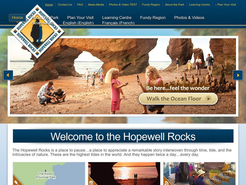
Hopewell Rocks 360 Degrees Panorama
Take a panoramic tour of the famous Hopewell Rocks. Explore the ocean floor and the rock formations. Be careful! When the tides come in the water rises to a height of a four story building.


