Hi, what do you want to do?
Curated OER
50 States: New England States
Students discover where certain states are located and what the look like. They look for their information on a web site. Each student is assigned a state which they must research then present to the entire class.
Curated OER
Can We Be Both Conservationists and Consumers?
Young scholars explore their role as consumers and conservationists and what roles they play in today's economic climate. They explore resource allocation issues. Students analyze data and draw comparisons between historical and...
Curated OER
Geography, Ecology, and Folklife
Learners identify how do geography and ecology influence a region's folklife. Then they investigate this question and consider how an outsider might view their own region in this instructional activity. Students also identify how the...
Curated OER
Physical Features
Students draw physical land features using ClarisWorks or Kid Pix, write their definitions, create slideshow, and create class geography book.
Curated OER
Where Will I Go From Here?
Students research the various cultures in Colonial America. In this American history lesson plan, students analyze and complie the research they find presenting what they have found into a short presentation.
Curated OER
Yaks, Yurts, and Yogurt: A Look at China's Autonomous Regions
Learners are introduced to five Chinese geographical areas. They, in groups, research these areas and develop presentations including information on the physical characteristics, climate, elevation, agriculture and language.
Curated OER
19th Century Immigration.
Eleventh graders analyze primary source cartoons depicting discrimination against immigrants. They study the historical relationship Dominican Republic has had with the United States. They assess how this relationship is linked to...
Curated OER
Antarctica
Third graders become familiar with Antarctica, the Earth's southernmost continent, by researching its environment and inhabitants. They reference maps, conduct Internet research, identify animals, create graphs and write reports.
Curated OER
"Where in the World is my School?"
Pupils learn new vocabulary and discuss what GPS is and does. They locate their school using the equipment.
Curated OER
You Gotta Know the Territory
Students examine the relationship between Native Americans and those who settled the Iowa territory. In this Iowa history lesson plan, students investigate the process for settling the territory and how intercultural relationships...
Curated OER
Weekly Current Events
Students examine current events every week. Using the internet, they complete searches about specific events. In groups, they gather information to share with the class and discuss any opposing viewpoints.
Curated OER
What's Holding Up the Water?
Pupils read about the history and locate dams in Arizona. For this Arizona dams lesson plan, students write a summary about what they read focusing on word choice, ideas, conventions, and geography content.
Curated OER
Gold Mountain
Pupils read primary and secondary sources to find jobs as a Chinese immigrant. In groups they create a chart listing jobs for Chinese and write a letter about employment and living conditions to a Chinese friend.
Curated OER
Polygons, Pingos, and Themokarst! Oh MY!
Young scholars complete activities to learn about the common land features in Alaska. In this land study lesson, students study an overhead for permafrost features. Young scholars define ice wedge polygons, thermokarst, and pingos....
Curated OER
Leaving Home for the West - Why?
Students examine primary sources regarding American movement to the west. In this westward expansion lesson plan, students create broadside posters based on the Homestead Act primary sources they research.
Curated OER
Got Park? Or if you build it, they will come!
Students use GIS and GPS technology to evaluate, research, locate, and recommend where a new park should be located that benefit the community.
Curated OER
Invaders and Settlers
Students watch a video that illustrates the way in which an English community evolved based on geography and the settlers and invaders who lived there over different time periods. They create a map that shows how different villages are...
Curated OER
Go West My Class
Students find data that can be mapped on the Factfinder Web page. They analyze the data from the web site and state recommendations on whether a person should live in Illinois or not based on their preferences.
Curated OER
City Bound
Fifth graders identify the reasons for people migrating to cities after the Civil War. Using population data, they discover why populations in cities rose while rural populations fell during 1860 to 1900. They discuss the impact a...
Curated OER
Taro
Students locate taro growing areas on a map and how it got there, explain intercultural contact and how taro has been adapted in Hawaii and trace human/taro migration to Hawaii.
Curated OER
Native Americans
Students, in groups, research various Native American tribes. They wirte a report about the tribe which includes information about their food and ceremonies, among other things. They create a diorama and a poster that shows how they...
Gabriel Dumont Institute
Virtual Museum of Metis Hist. And Cult.: Canadian Atlas of Aboriginal Settlement
This collection of maps gives historical information about Metis and other First Nations patterns of settlement and organization.
Columbia University
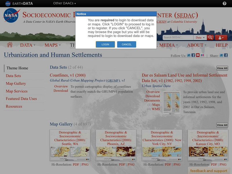
Nasa: Sedac: Urbanization and Human Settlements
[Free Registration/Login Required] A collection of twenty data sets from SEDAC (Socioeconomic Data and Applications Center) that examine urbanization in major metropolitan areas of the United States in the late 20th and the early 21st...
Migration Policy Institute
Migration Policy Institute: Settlement Patterns of the Foreign Born
Complete analysis of the settlement patterns of the foreign born based upon the 2000 Census information.


