Hi, what do you want to do?
Curated OER
A Share in America
Students examine map - reflect on why English colonist kept coming to America (scarcity of land in England / seemingly endless land in America)
Recite line from English poem. They discuss English attitude towards Indians and their lands.
Curated OER
Using Oral History to Understand Immigrant History
Students use oral history to comprehend how life chaned for men, women, and childern when they immigrated to the United States. Students conduct interviews with immigrants in an attempt to interpret hardships, lifestyles, careers, and...
Curated OER
Parliamentary Structure and Process on " Deck"
Tenth graders design a "deck" of individual slides on Power Point to synthesize, in a graphic organizer, their recently acquired knowledge of different levels of government in Canada.
Curated OER
And Your Point Is . . .? Part I
Students, in groups, complete a WebQuest titled "Love Canal Debate". They follow the WebQuest to research and write papers on different points of view regarding the Love Canal environmental disaster.
Curated OER
Prescription For Survival
Students engage in a instructional activity that is focused upon the survival of populations located in third world countries. They conduct research using a variety of resources while focusing upon the delivery of healthcare with the...
Curated OER
Yi Peoples--Sanctioning Taboo In China
Young scholars identify the minority and ethnic groups in China. Using the internet, they discover the types of languages spoken and research the policies in place to manage minorities. In groups, they role-play the different ethnic...
Curated OER
Negotiate Peace for India and Pakistan
Students prepare for a fake peace talk between India and Pakistan.
Curated OER
Dialogue: Sport
In this dialogue about sports worksheet, students read a questions and answers concerning sports.
Curated OER
Sea Connections
Students, after locating different marine habitats on a globe, play a card game about ecosystems, food webs and organisms.
United Nations
United Nations: Cartographic Section: The World Today [Pdf]
Here is an up-to-date political map of the world today. Very detailed with a good key.
The Newberry Library
Newberry: Political and Military History: Map 15: The World at War, 1944
Lesson for K-12 using historical map teaches students about the relationship between perspectives of the world and map projections.
United Nations
United Nations: Cartographic Section: The World in 1945 [Pdf]
Find out what the political world map looked like after World War II in 1945. Enlarge the map so you can see what countries belonged to the UN, which were still dependent territories, and which did not belong to the UN.
PBS
Pbs: Geography of Music the World in the Age of Revolutions
This interactive map helps illuminate the relationships among the various composers as well as connections between music and its historical and cultural context. It also illustrates the importance of the physical and cultural...
The Newberry Library
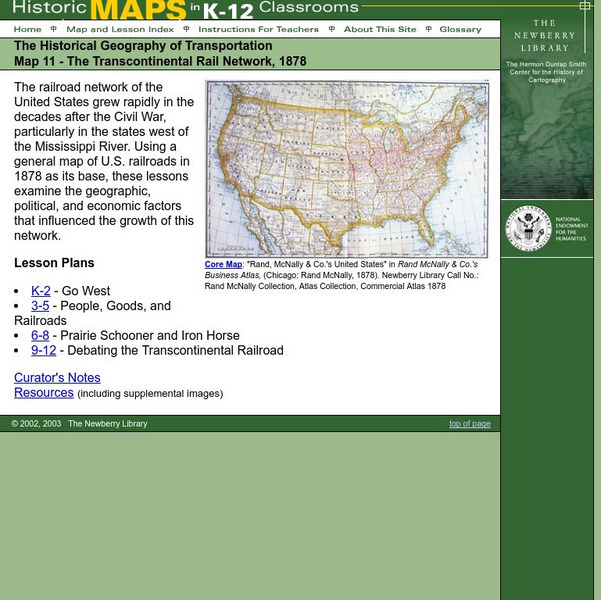
Newberry: Historical Geography: Map 11: The Transcontinental Rail Network, 1878
Lesson for K-12 using historical maps examine the geographic, political, and economic factors that influenced the growth of railroads.
Latimer Clarke Corporation
Atlapedia: World Maps/middle East
Learn the locations and countries in the Middle East from this political map. Click on the link at the top of the page to see a physical map of the same region. Clicking on the country's name will take you to information about that country.
Other
Just Maps: World Maps
An index of maps and flags of countries throughout the world. Also provides political maps, time zones, population, and religious maps of every region of the world.
Other
Percentage of the World's Population Under Various Political Systems
Time-line graphs and maps give visual representations of countries and populations under various kinds of political systems: autocracy, monarchy, communist state, etc.
University of California
Ucla: Manas: History and Politics of the Mughal Empire
This article surveys the Mughal Empire of India (1526-1857) and traces its origins, names its rulers, and provides historical illustrations and a map.
University of Texas at Austin
The Perry Castaneda Library Map Collection
This collection contains more than 250,000 maps covering all areas of the world, and ranging from political and shaded relief maps to the detailed and the historical. Select from a region of the world or an area of highlighted interest.
Central Intelligence Agency
Cia: World Factbook: Czechia
This resource from the CIA World Factbook provides a detailed fact sheet of the Czechia. The content covers the country's geography, people, government, economy, communications, transportation, military, and transnational issues. It...
University of Oregon
Mapping History: American History
Interactive and animated maps and timelines of historical events and time periods in American history from pre-European times until post-World War II.
Central Intelligence Agency
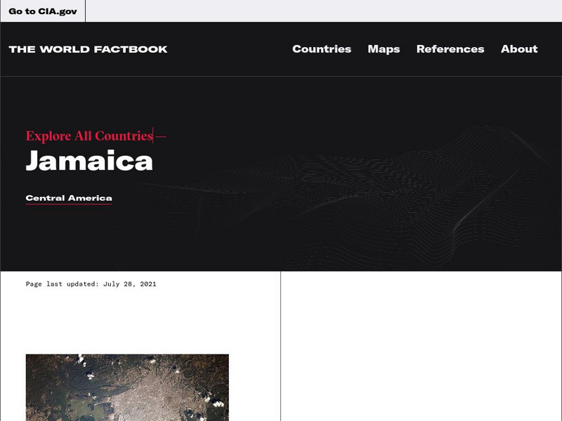
Cia: World Factbook: Jamaica
This resource from the CIA World Factbook provides a detailed fact sheet of Jamaica. The content covers the country's geography, people, government, economy, communications, transportation, military, and transnational issues. It includes...
Central Intelligence Agency
Cia: World Factbook: Japan
This resource from the CIA World Factbook provides a detailed fact sheet of Japan. The content covers the country's geography, people, government, economy, communications, transportation, military, and transnational issues. It includes...
Geographyiq
Geography Iq
Detailed geographical information on any country is available at this site. Within the World Map section, you can get facts and figures about each country's geography, demographics, government, political system, flags, historical and...


![United Nations: Cartographic Section: The World Today [Pdf] Graphic United Nations: Cartographic Section: The World Today [Pdf] Graphic](https://static.lp.lexp.cloud/images/attachment_defaults/resource/large/FPO-knovation.png)


