Curated OER
Population Density
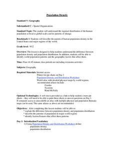
High schoolers examine world population density and population distribution. They create pie charts showing population distribution and analyze population patterns in the United States and major regions of the world. They identify...
Delegation of the European Union to the United States
The Geography of Europe
What is the European Union? Where is it? Why is it? To begin a study of the EU, class members examine the physical geography of Europe and the size and population density of 28-member countries in comparison to non-member countries...
Curated OER
How Big is Big?
Geography learners compare and contrast population densities throughout the world. Using maps, they estimate the relative size of the world's regions and populations. They develop analogies to discover the world they live in and...
Curated OER
Population Density in the Ghettos
Students examine population density in Jewish ghettos. In this Holocaust lesson plan, students calculate population density of cities around the world using the provided information. Students then discuss the implications of high...
Curated OER
Population Density
Students use the scientific method to conduct an experiment and use varied methods to gather background information. They correctly use lab equipment and prepare tables and graphs that organize, conclude, and present their findings. ...
Curated OER
Population and Population Density
Students read and interpret graphs. For this population lesson, students explore population and population density as they read several data graphs and respond to questions.
Curated OER
Size It Up: Map Skills
Compare information from a US population cartogram and a standard US map. Learners draw conclusions about population density by analyzing census data a population distribution. They discover that census data is used to apportion seats in...
Curated OER
Where is Everybody?
Students collect data from different grade levels at their school and develop thematic maps which show population density, and determine how this might affect the school and themselves in the future.
Curated OER
Elbow Room - Exploring Population Density
In this population learning exercise, learners click on the links and research the internet about population, land, and government. Students answer 16 short answer questions including making spreadsheets.
Curated OER
Comparative Geography I
Students use population density and other statistics to compare countries. They find the population density for the countries listed in the table. Students compare findings with a partner, and then share with the class.
Curated OER
The Effects of Limited Space on a Culture
Students predict the impact of population density on shelter, transportation, recreation, land use, and social skills and then research that impact on Japan. They write a response about the impact of population density on food...
Curated OER
A Look at the Population Density of the United States
Students acquire census information and create maps of the population density of the United States on different scales. They role play the roles of workers of a retail company and they use the population data to market to their customers.
Curated OER
Where Should We Put a Store?
Students analyze population data. They convert population data into simple density maps to help make decisions about their world. They select the best location for a school store based on population density. They present their maps...
Curated OER
Asia Crossword
In this geography worksheet, students complete a crossword puzzle on the continent of Asia. They answer 21 questions related to the type of government systems found, capital cities, deepest lake, and lowest population density.
Curated OER
Population and Productivity: Two P's in a Pod
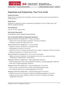
Students investigate the link between countries' population growth rates and levels of industrialization. They observe that, over time, as a country becomes more industrialized, its population growth rate decreases.
Curated OER
East Asia: Population Facts and Figures
Students examine population information from East Asian countries. Using a specified website, pupils explore the population of China, Japan, North Korea and South Korea. Classmates examine the population density compared to the world's...
Curated OER
Population Vs Consumption: Which is a Bigger Problem for the Environment & Who is Getting the Lion's Share of the World's Resources?
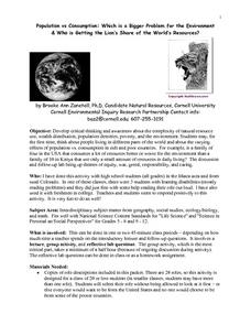
Students develop critical thinking and awareness about the complexity of natural resource use, wealth distribution, population densities, poverty, and the environment. They think about people living in different parts of the world and...
Curated OER
Why We Count
Students visualize census data on a map and use a map key to read a population map. In this census lesson, students use a map of the Virgin Islands and corresponding worksheets to gain an understanding of population density.
Curated OER
Mapping Counties
Students practice reading a map. In this mapping lesson, students illustrate a map and compare and contrast the counties based on their population. Students also explore what a census is and read census data on a map. A student...
Curated OER
The World Population Explosion
Students are introduced to some of the fundamental questions about the connections among population, resources and energy use, and environmental impacts. They explore population growth, interpret a line graph and calculate their own rate...
Curated OER
Census Report
Students write and or present a report contrasting geographic and demographic features (e.g., average annual income, population density, mortality rate, literacy rate) of countries where the target languages is spoken to the U.S. They...
Curated OER
Comparative Geography II
Students engage in a research question of finding the effect of population density upon the use of land in a physical area. They also find the effect of how this can effect the lifestyles of the people who live there.
Curated OER
People, Goods, and Railroads
Young scholars compare population distribution and density railroad network in 1878, identify areas of expanding population density, and evaluate geographical and economic factors that influenced railroad expansion in late 19th century...
Curated OER
Create a City: An Urban Planning Exercise
Students explore the effects of population growth in Arizona. In this history lesson plan, students work in small groups to create a "perfect" city. Activities include examining the Arizona census results then discussing the...
Other popular searches
- Population Density Maps
- Human Population Density
- Geography Population Density
- Comparing Population Density
- Biology Population Density
- Us Population Density
- Population Density in Mali
- Population Density of Cinda
- Population Density of Cina
- Animal Population Density
- Population Density Problems
- Population Density in Canada
