Hi, what do you want to do?
Curated OER
The Battle of Bunker Hill: Now We Are at War
Students what events in Massachusetts in 1775 demonstrated colonial opposition to Imperial rule. They examine the events related to the Battle of Bunker Hill and determine the differences in the land masses of Charlestown and Boston from...
Curated OER
Meet the Weather Scientist
Fourth graders collect, record and analyze data using simple weather instruments or use weather resources to comprehend weather. They comprehend that scientists are very important people in today's world. Pupils look at cloud types to...
Curated OER
Egyptian Hireroglyphs
Fifth graders identify the aspects of Ancient Egyptians and Heiroglyphs. They compare and contrast Egyptian Hieroglyphs with the decimal number system. Students recognize the decimal number system and compares to bases other than ten.
Curated OER
American Civilization
First graders become familiar with Mayan culture, Aztec civilization and the Inca Empire.
Curated OER
Life and Death in the Camps
Students state the difference between death camps and concentration camps used during the Holocaust. Using primary source documents, they summarize what life in the camp was like. They describe the final solution used by the Nazis.
Curated OER
Introduction to the Reformation
Ninth graders investigate the Protestant Reformation. In this global history lesson, 9th graders examine the provided primary sources that enable students to create posters and presentations that reveal how Catholicism, Lutheranism,...
Curated OER
Chilling Predictions
Students research and prepare an almanac on the Arctic. They examine the laws that attempt to provide jurisdiction over this area and consider how these laws be affected if geography of the Arctic continues to change due to global warming.
Curated OER
By Land, Sea or Air
Students learn navigational techniques change when people travel to different places. They understand differences between navigation on land, water, air and in space. They explain the concept of dead reckoning as it applies to...
Curated OER
Export-Import Game
Students recognize how international trade affects them as consumers and become familiar with basic agricultural crops grown in Kentucky. They identify items used in their daily lives and .heir place of origin and examine export/import...
Curated OER
Simulation: Yum, Yum Trees Simulation: Yum Yum Trees Conservation of Resources
Students weigh the uses of the yum yum tree against the problem of conserving them. For this conservation lesson, groups of students discuss and make suggestion to conserve the yum, yum trees. Students apply knowledge to renewable and...
Teachers' Curriculum Instituted
The Roman Record
Using Google Earth, Google Docs, and other Google Tools, collaborative groups of seventh graders research and then create and share online newspapers reporting on the early development, geographical features, political issues, and...
Curated OER
Analyzing documents
Students sort information pieces by structure and purpose. In this resource analysis activity, students view several types of informational materials and work in teams to look for the way that piece is organized.
Other
La Rue Literacy Exercises: Reading a Map: Quiz 12
In this quiz, students are given sections of a map with locations like the school, post office, back, etc. They are asked questions about directions from one place to the other.
E-learning for Kids
E Learning for Kids: Math: Bus Station: Position on a Map
Help Jamal read maps, describe directions, and identify coordinates in this series of interactive exercises.
C3 Teachers
C3 Teachers: Inquiries: Maps and Geography
A comprehensive learning module on maps that includes three supporting questions accompanied by formative tasks and source materials, followed by a summative performance task. Students learn about map symbols, cardinal directions, and...
Read Works
Read Works: How to Draw a Map Passage & Question Set
[Free Registration/Login Required] This informational text passage explains how to draw a map. This passage reinforces essential reading comprehension skills. Opportunities for vocabulary acquisition are also included. Several questions...
Utah Education Network
Uen: Lesson Plan: Fairy Tale Maps
Lesson designed to introduce maps and the cardinal directions. After listening to the teacher read aloud or tell the story of Little Red Riding Hood, learners retell the story and use cutouts of landmarks and arrows to create a map of...
Utah Education Network
Uen: Lesson Plan: Map the Path in My Father's Dragon
Lesson that helps learners understand map concepts. After listening to the teacher read aloud each chapter of My Father's Dragon by Ruth Stiles Gannett, students discuss the book and use a map and general direction terms to describe the...
University of Texas at Austin
The Perry Castaneda Library Map Collection
This collection contains more than 250,000 maps covering all areas of the world, and ranging from political and shaded relief maps to the detailed and the historical. Select from a region of the world or an area of highlighted interest.
Michigan State University
Michigan State University: Intervention for Reading: Group Story Mapping
This intervention, which is based on Schema Theory, emphasizes linking previous knowledge structures (schemata) with reading materials. A pre-reading technique (see "My Story Map") provides a framework that directs students' attention to...
ReadWriteThink
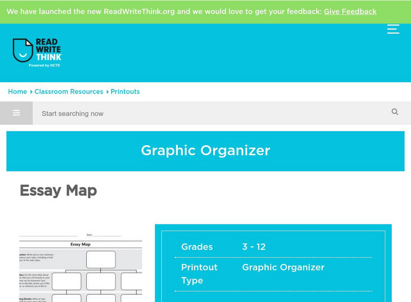
Read Write Think: Essay Map
A fillable essay map in PDF format with boxes for an introduction, main ideas, supporting details, and a conclusion. Directions on how to use this type of graphic organizer as well as lists of teaching ideas and related resources are...
BBC
Bbc: Bitesize Geography: Os Map Skills
A short tutorial on mapping tools and how to read maps. Covers features of maps, symbols, the compass, scale, distance, how height is represented, and grid references. Includes multiple-choice quiz at the end.
Alabama Learning Exchange
Alex: Primary Technology Maps
This hands-on, inquiry-based lesson combines maps skills which include identifying map elements, applying an understanding of cardinal directions, interpreting resource maps, and identifying a location. Young scholars will have the...


