Hi, what do you want to do?
Curated OER
Simulated Underground Railroad Experience - Part B
Third graders travel throughout many stations learning about the Underground Railroad.
Curated OER
Ecotourism in National Parks and Wilderness
Learners develop a plan for ecotourism after researching a nearby national park or wild area.
Curated OER
Non Native Species: English Ivy-Landscape Plant or Deadly Killer?
Students study the impact that invasive species have on biodiversity and more natural areas.
Curated OER
Emergency Preparedness
Young scholars are introduced to governmental and humanitarian responses to disasters. They research organizations such as FEMA and the Red Cross. They examine their local National Guard unit as well.
Curated OER
World Wide Waterfalls
Students explore the difference between virtual and actual experience by creating Web sites about a nearby river.
Other
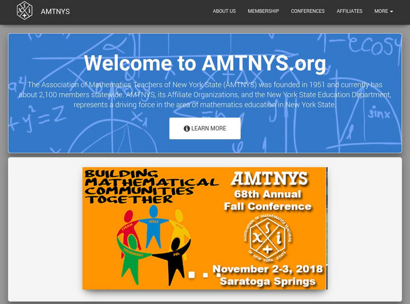
Association of Math Teachers of New York State (Amtnys)
The AMTNYS includes information about the organization, its membership and publications, regional and summer meetings, and scholarships and awards. Its e-mail discussion lists allows members to talk about their concerns.
Other
State of New Jersey: New Jersey Regions
Site provides information about different regions within the state of New Jersey, such as Atlantic City, Delaware, Gateway, Shore, and Skylands. Specific details and attractions are described for each region.
New York Times
New York Times: International
[Free Registration/Login Required] The New York Times is an internationally recognized daily newspaper published in New York City, New York. Content of the international section includes top news and issues from around the world, special...
Science Education Resource Center at Carleton College
Serc: Landscape Regions
A lab activity where students study the" relationships between landscape appearance, topography and underlying geology". In this particular activity students explore the landscape region of New York State to see the effects of...
ClassFlow
Class Flow: Postcards From New York
[Free Registration/Login Required] This is an in-depth study of the 11 regions of New York State. Students will take a road trip to each of these regions and stop at one attraction that the region is most noted for. After reading some...
A&E Television
History.com: The States
Learn unique facts about each American state. You can also read a more in-depth history of each state, watch videos and play a game about all the states.
Curated OER
Etc: The Revolution in New England States, 1774 1783
A map of America's New England states during the time of the American Revolution, including Maine, New Hampshire (with Vermont), Massachusetts, Rhode Island, Connecticut, and Long Island. The map shows major cities, towns, forts, battle...
Curated OER
Etc: The Campaigns in the Middle States, 1777 1778
A map of parts of New York, New Jersey, Pennsylvania, and Maryland involved in the early years of the American Revolutionary War. The map shows cities and towns, rivers and terrain, forts, and battle sites of the region, including Crown...
Curated OER
Etc: American Revolution in the the Middle States, 1774 1783
A map of America's middle states during the time of the American Revolution, including New York, Pennsylvania, New Jersey, Delaware, Maryland, and part of Virginia and North Carolina. The map shows major cities, towns, forts, battle...
Curated OER
Etc: Maps Etc: Mexico, Central America, and the West Indies, 1898
A map from 1898 of Mexico, Central America and the West Indies. The map includes an inset map of Cuba and the Isthmus of Nicaragua. "The surface of the Rocky Mountain highland in Mexico is quite similar to that of the great plateau...
Curated OER
Educational Technology Clearinghouse: Clip Art Etc: Benning Wentworth
Benning Wentworth (1696-October 14, 1770) was the colonial governor of New Hampshire from 1741 to 1766. Wentworth enriched himself by a clever scheme of selling land now in the state of Vermont to developers, in spite of jurisdictional...
Curated OER
Etc: Maps Etc: Mexico, Central America and the West Indies, 1852
A map from 1852 of Mexico, Central America, and the West Indies. The map shows territorial boundaries at the time, including the Mexican States, capitals and major cities and ports, railroads, rivers, lakes, mountain systems, and terrain...


