Hi, what do you want to do?
Curated OER
Problems Encountered by Surveyors of Arkansas
Fifth graders examine the six geographic regions of Arkansas by examining the problems encountered by surveyors in Arkansas after the Louisiana Purchase. They conduct Internet research, create a chart, and write an essay comparing two...
Curated OER
Draw A Coastline
Middle schoolers identify, locate and draw at least ten different geographical features on a map. Using the map, they must make it to scale and include their own legend and compass rose. They share their map with the class and answer...
Curated OER
Arkansas- Economic System
Students investigate how the six natural regions of Arkansas work together to form the economic system of the state. They read a paragraph and articles about the state and complete an activity that demonstrates interdependence. They...
Curated OER
San Francisco Bay Watershed
Students examine relief maps of California and discuss the San Francisco Bay watershed. Discussion continues with the class helping complete a journey of water through seasons in a "finish my sentences" style lecture. They label rain...
Curated OER
San Francisco Bay Watershed
Learners locate important landmarks on a map and explore the watersheds in California. In this watershed lesson students complete a worksheet and discuss what they learned.
Curated OER
Arkansas Geography/History Relief Map
Sixth graders research a number of sources including the Internet to find information about the regions of Arkansas while locating sites of national historic interest. They located sites on maps while working at assigned websites. They...
PBS
Nh Pbs: Nature Works: Rivers and Streams
Learn more about Rivers and Streams through this educational resource. This site features photographs, a description, fun facts, and more about this type of freshwater ecosystem.
PBS
Pbs: Journey to Planet Earth: Rivers of Destiny
Journey to four major river systems - the Mississippi, Amazon, Jordan and Mekong rivers - and take a look at the challenges happening to the people whose livelihood hinges around them.
National Association of Geoscience Teachers
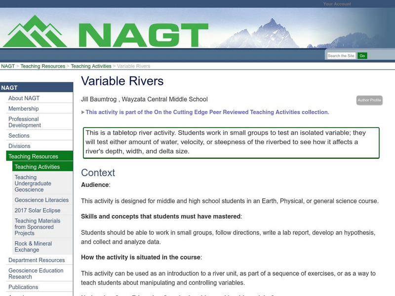
Nagt: Variable Rivers
In this activity students will test amount of water, velocity and steepness of a tabletop riverbed to see how it affects a river's depth, width, and delta size.
PBS
Pbs Learning Media: Atchafalaya Bay Deltas
The Mississippi Delta is disappearing because of rising sea levels and the construction of levees, yet the deltas in the Atchafalaya Bay are growing. View this video from NASA showing images collected over 31 years showing the growth of...
University of Illinois
University of Illinois Extension: All Star River Explorers
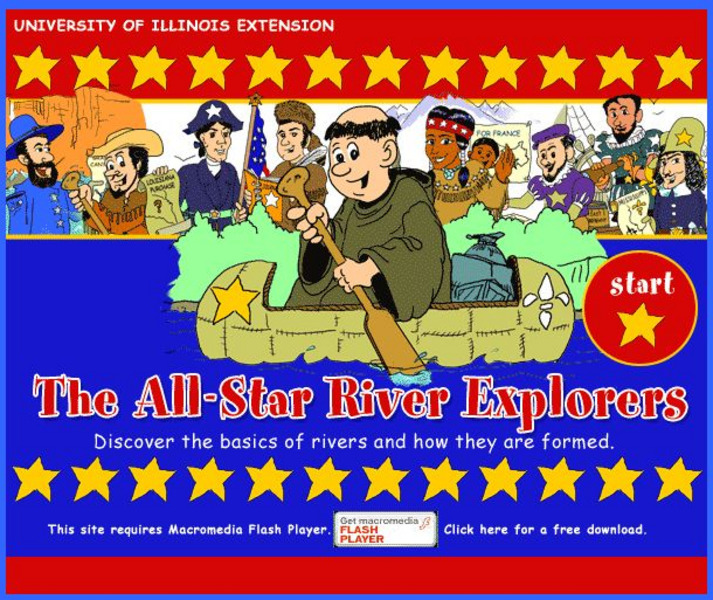
An interactive site to teach students how rivers are formed, how they change, and why they are important. Cross-curricular activities in language arts, math, science, social studies, and art, some of which include worksheets to download,...
CK-12 Foundation
Ck 12: Earth Science: Landforms From Stream Erosion and Deposition
[Free Registration/Login may be required to access all resource tools.] Explains how and where rivers erode and deposit sediments, including particles and dissolved ions.
Curated OER
University of Texas: Small Map of Vietnam
Look at a map of Vietnam with all the major cities and the Mekong River and delta. Very easy to read.
Other
Icpdr: Ships and Environment to Share Danube River
This is a comprehensive analysis of the importance of the Danube River Basin and ways to balance human and ecological needs in the basin. The reason behind this study is the European Union's move to open shipping lanes in the Danube and...
Other
Greatest Places: Okavango Delta
Experience the Okavango, a "river that never meets the sea." Learn about the animals there, how to make papyrus, and swampy deltas.
CK-12 Foundation
Ck 12: Fourth Grade: Earth Science: Erosion and Deposition by Flowing Water
[Free Registration/Login may be required to access all resource tools.] Discusses how flowing water causes erosion; describes how runoff, streams, and rivers change Earth's surface; and identifies features caused by groundwater erosion.
Other
Arkansas Department of Parks and Tourism: Arkansas Virtual Regional Map
Take a virtual tour of Arkansas by clicking on each of its major regions .. the Ozarks, River Valley, Central, Delta, Timberlands, and the Ouachitas region. Terrific photos, video clips, maps, and descriptive information is included for...
United Nations
United Nations: Cartographic Section: Okavango River Basin [Pdf]
This map from the United Nations is a very detailed map of the Okavango River Basin, showing rivers, wetlands, cities, country boundaries and much more. Increase the viewing percentage to read the map easily.
National Wildlife Federation
National Wildlife Federation: Mississippi River Delta
Briefly explore the geography and history, meet the wildlife, and understand the conditions threatening Coastal Louisiana.
PBS
Pbs Learning Media: Taming the Mississippi
At 2,300 miles long, the Mississippi River is the second longest river in North America. People have tried to control the flow of the river to prevent floods and keep it flowing towards port cities. This can lead to loss of land in the...
NOAA
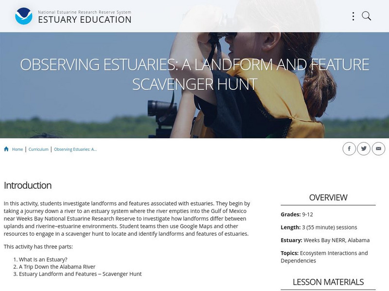
Noaa: Estuaries 101 Curriculum: Observing Estuaries:
Students investigate landforms and features associated with estuaries by taking a journey down a river to an estuary system where the river empties into the Gulf of Mexico near Weeks Bay. They will use Google Maps and other resources to...
Other
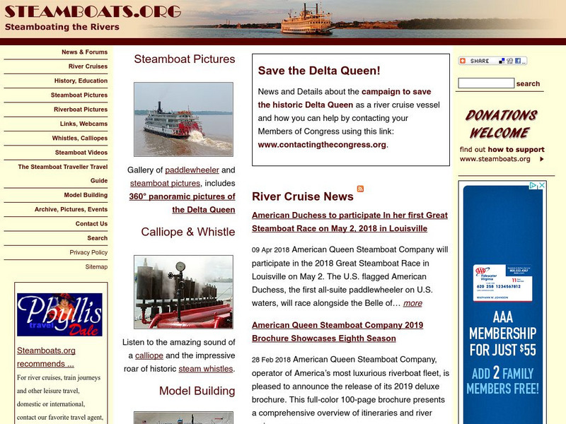
Steamboating the Rivers
A detailed site providing information on the history of steamboats and many facts on this older form of transportation. Take a virtual tour and learn about some popular steamboats of the time.
The British Museum
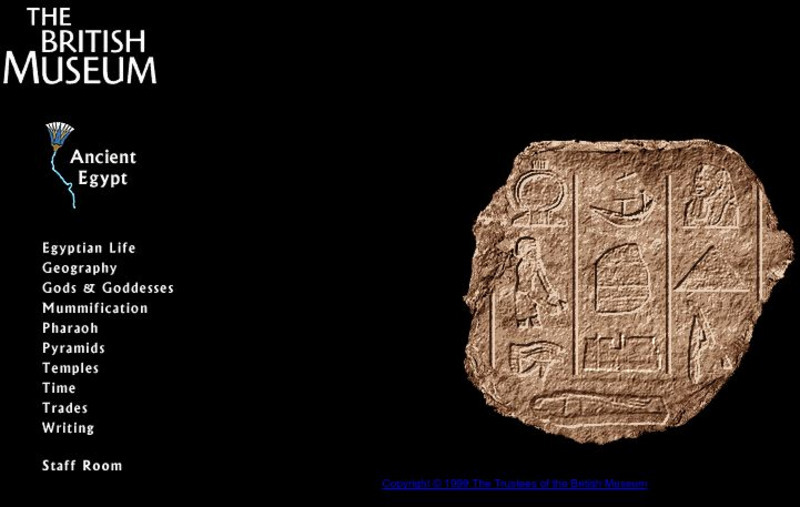
British Museum: Ancient Egypt
A comprehensive site on Ancient Egypt, including sections on the lifestyle, geography, religion, and politics of the country.
NOAA
Noaa: National Ocean Service Education: Estuaries
Illustrated tutorial explains estuary ecosystems. Animations and illustrations help students become more familiar with the plant and animal communities which make up this coastal habitat.





![United Nations: Cartographic Section: Okavango River Basin [Pdf] Graphic United Nations: Cartographic Section: Okavango River Basin [Pdf] Graphic](http://lessonplanet.com/content/resources/thumbnails/457765/large/bwluav9tywdpy2symdi1mdqyoc04mzc3mdutcdftbgx4lmpwzw.jpg?1745828804)

