Discovery Education
Sonar & Echolocation
A well-designed, comprehensive, and attractive slide show supports direct instruction on how sonar and echolocation work. Contained within the slides are links to interactive websites and instructions for using apps on a mobile device to...
NOAA
Mapping the Deep-Ocean Floor
How do you create a map of the ocean floor without getting wet? Middle school oceanographers discover the process of bathymetric mapping in the third installment in a five-part series of lessons designed for seventh and eighth graders....
NOAA
Watching in 3D
Bring the ocean floor to life! Earth science scholars discover the process of deep sea mapping in the third installment in a series of five lessons about ocean exploration. The teacher's guide includes helpful resources, worksheets, and...
Alabama Learning Exchange (ALEX)
Sonar Mapping of the Ocean Floor
Eighth graders participate in an experiment that emulates a sonar signal bouncing off the ocean floor. They determine how the ocean floor is measured by the length of time it takes for the sonar signal to return. They work with a wooden...
NOAA
Mapping the Ocean Floor: Bathymetry
Bathymetry is not a measure of the depths of bathtubs! Through the three lessons, scholars explore two different types of maps and how they are made. The resource focuses on topographic and bathymetric maps and teaching the techniques...
Curated OER
TE Lesson: Habitat Mapping
Students examine the current technologies used in mapping resources in the marine environment. They look at remote sensing, sounding, and underwater vehicles. They examine image from the benthic habitat produced by the GIS in order to...
NOAA
Wet Maps
How do oceanographers make maps under water? Junior explorers discover the technologies and processes involved in creating bathymetric maps in part three of a five-part series designed for fifth- and sixth-grade pupils. The lesson...
DiscoverE
LIDAR: Mapping with Lasers
We would be lost without maps! How are they made? Introduce junior topographers to LIDAR technology with a fascinating activity. Set up a mock city, then have learners operate a laser measure to determine the shape of the landscape using...
Curated OER
See That Sound?
Students study sonar and will explain the concept of it and its major components. For this design lesson students build a low-cost sonar system.
Curated OER
Mapping The Ocean Floor
Young scholars explore and analyze the bottom structure of underwater habitats. They describe and explain what can't see through the collection and correlation of accurate data. Learners assess that technology is utilized as a tool for...
Curated OER
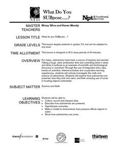
What Do You SUBpose?
Submarines are the fous of this math and science activity. In it, learners explore the world of submarines: how they work, and what they are used for. They engage in hands-on activities, watch video clips, and work in cooperative groups...
Curated OER
Space: The Final Frontier
Sixth graders construct a graph to demonstration information that they've learned about the solary system. They also write or illustrate a sonar or lunar eclipse.
Curated OER
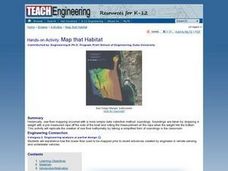
Map that Habitat
Students participate in an activity that replicates the creation of sea floor bathymetry by taking a simplified form of soundings in the classroom. They discuss sea floor mapping technologies, sonar, soundings, and remote sensing,...
Curated OER
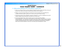
Sound Pictures
Young scholars examine the components of a sonar system. In this physical science lesson plan students explain how multibeam and sidescan sonar systems are useful to ocean explorers. Young scholars simulate sonar operations in an...
Curated OER
Reading Satellite Images
Students analyze satellite images. In this astronomy lesson, students examine 3 satellite images in order to understand how satellite images are taken and what they can teach scientists.
Curated OER
Sound for Sight
Young scholars study echolocation and understand how dolphins use it to locate prey, escape predators, and navigate their environment. They view a video, "In the Wild-Dolphins with Robin Williams" and see first hand how dolphins...
Curated OER
Probes, Exploration and Application
Students examine the benefits of the space program to our life on earth. In this space exploration lesson students participate in a lab, answer questions and study radar mapping.
Polar Trec
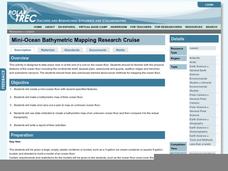
Mini-Ocean Bathymetric Mapping Research Cruise
Middle or high schoolers transform into oceanographers in a week-long simulation. To begin, each group follows directions to create a model of the ocean floor with specified features. Next, the groups prepare to set sail on a research...
Curated OER
Mapping the Ocean Floor
Students study the bottom structure of underwater habitats and how they can be mapped.
Curated OER
Probes, Exploration & Application
Students explore how a surface can be described without seeing it.


