Curated OER
Rainsticks
Students create a rainstick decorated with repeated patterns of shape and color, out of paper towel tubes.
Curated OER
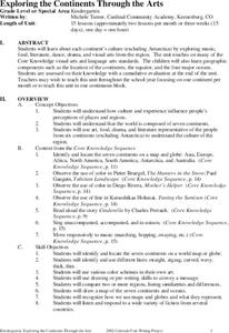
Exploring the Continents Through the Arts
Students examine the continents and explore geographic components in the fifteen lessons of this unit. The location of the continents, the equator, the four major oceans, and the music, food, literature, dance, and drama from each of the...
Curated OER
Virtual Trip of Brazil
Sixth graders develop an annotated list of sights to visit in Brazil including a description of what to see and do there. They name and locate cities within Brazil. They place textual and graphic information on the web.
Curated OER
Contra Los Ladrones de Carros
Pupils read descriptions of various anti-theft devices and investigate car security systems on the Internet. They write and present a television commercial for one of the anti-theft devices and present it to the class.
Curated OER
Start with a Chart
Middle schoolers use a given chart and the 50 state quarters to synthesize information about the 50 states and the dates that they were admitted into the union. Students complete a math worksheet while referring to the chart.
Curated OER
Birds and Migration
Students actively simulate bird migration. In this animal migration lesson, students participate in an activity that simulates the migration of birds. The teacher discusses with the class the hazards and difficulties birds face during...
Curated OER
What is Islam? Who Are Muslims?
Ninth graders discover Muslim beliefs. In this Islam lesson, 9th graders identify biases and stereotypes about Muslims. Students then research the cultures and traditions of Muslim nations creating PowerPoint presentations that feature...
Curated OER
What Do We Know About Africa?
First graders explore Africa, its geography and climate. After completing a KWL chart, 1st graders locate Africa on a globe and discuss how its location on the earth affects its climate. Using the Internet and a given fact sheet,...
Curated OER
The Lesson: Bio-fuels
Students explore the pros and cons of bio-fuel use. In this environmental stewardship lesson, students visit selected websites to discover what bio-fuels are and the effect they may have on the environment.
Curated OER
Jamestown Journey Part 2
Fourth graders create a chart or web to display qualities and characteristics of a good leader.
They write a paragraph describing the qualities of a good Jamestown leader. Finally, 4th graders contribute to small group discussion about...
Curated OER
Warm up to the Gulf Stream
Students find out the temperature difference between the Gulf Stream and the surrounding water. They locate the Gulf Stream on the infrared image of the eastern seaboard of the US.
Curated OER
Minuteman Missile National Historic Site
Learners examine the difference between the Cold War and the "hot" wars and contrast the benefits of solid and liquid fuel ballistic missile systems of the era. The impact of the Cold War upon their communities is explored.
Curated OER
Geography Overview
Second graders look at the United States often over the next few months. Help them to see how the United States has changed as territories have become states. They may be surprised to know the areas of our country that were territories...
PBS
Pbs Learning Media: South America Interactive Map
This interactive map explores the continent and countries of South America. Through political, physical, population, and climate map layers and individual country views, learn about the boundaries that define the continent's 12 sovereign...
Enchanted Learning
Enchanted Learning: South America
Here at this site from Enchanted Learning, you will find many links, lesson plans, map printouts, and activities on South America. The information is very good, and links are also provided for additional information.
PBS
Amazon: South America
Map of South America in which students can use the interactive site to explore political, physical, climate and populaton features.
Discovery Education
Discovery Education: Geography of South America
Introduce your students to South America with this physical map activity. The resource contains a detailed lesson plan to help students learn about the geography, people, and environment of South America.
Other
Worldpress.org: Map of South America
This interactive map lets you click on the name of a country in South America to get a more detailed view and facts about its geography, economy, media, and demographics.
Houghton Mifflin Harcourt
Holt, Rinehart and Winston: World Atlas: South America
Features a map of all the countries in South America. Click on the name of a country to get a more detailed map and information on that country.
That Quiz
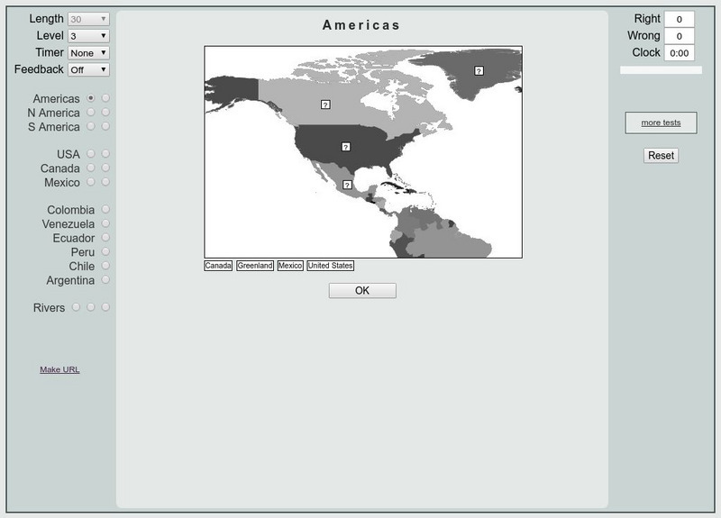
That Quiz: Practice Test: Americas
This resource provides a practice test which allows users to test their geographical knowledge of the Americas.
Lonely Planet
Lonely Planet: Map of Argentina
A basic color map of Argentina is offered at this site, with major cities identified.
University of California
Earthguide: Maps: Shaded Relief: South America [Pdf]
View a digital image of a colored shaded relief map of South America.
Other
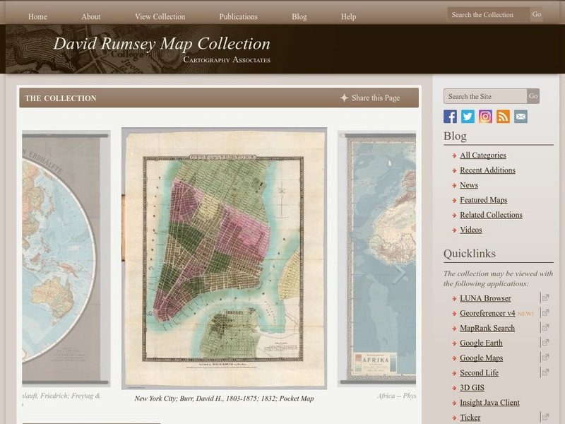
The David Rumsey Historical Map Collection
"The David Rumsey Historical Map Collection focuses on rare 18th and 19th century North and South America cartographic history materials. Historic maps of the World, Europe, Asia, and Africa are also represented. The collection...
Lizard Point Quizzes
Lizard Point: South America: Countries Quiz
Try this interactive geography quiz which tests your knowledge about the countries of South America.

