Curated OER
For the Fun of It
Students view pictures of Amelia Earhart and discuss the social and historical context of her life. They read excerpts of Earhart's autobiography "The Fun of It" and analyze her purpose in writing it.
Curated OER
Grocery Aisle Signs and Locating Items
Students engage in lesson plan that is intended to help those who have mild disabilities with life skills. They focus upon the practice of shopping and finding items located in the grocery store. Students view a slideshow with different...
Curated OER
Dimension Review
Students differentiate the pros and cons of different areas. In this geometry lesson, students compare and contrast different sizes based on their area. They put an image to the size of a shape.
Curated OER
Westward Expansion
In this westward expansion worksheet, students read and assess comprehension. In this short answer, matching, and timeline worksheet, students write answers to twenty-five questions.
Curated OER
Swing Your Partner! It's A Virtual Square Dance
Students explore the Wessels Living History Farm website and research how to do a square dance. They read a story, listen to an explanation of barn dances, and participate in various square dances.
Curated OER
Measurement Review
Students measure the distance between two points. In this measurements lesson, students read books about birds that migrate and measure the distances that each bird flies when it migrates. Students discuss the information as...
Curated OER
For the Fun of It
Middle schoolers investigate author's purpose in autobiography by reading Amelia Earhart's autobiography entitled The Fun of It. Students examine character traits needed to fulfill personal goals.
A&E Television
History.com: The States
Learn unique facts about each American state. You can also read a more in-depth history of each state, watch videos and play a game about all the states.
Kidport
Kidport: United States of America Geography
This site contains a fun way to learn about the states within the United States. Click on the state that you want to learn more about and it provides facts, geographic landmarks, points of interest, major industries, a quiz and more.
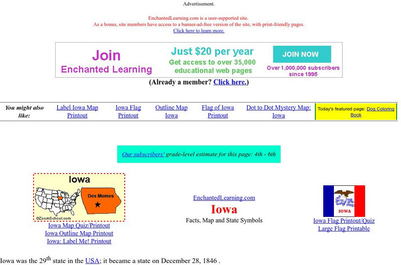
Enchanted Learning
Enchanted Learning: Iowa
This site has a colorful display of information about Iowa. It contains a map, pictures, a list of state symbols, and links to related information.
CRW Flags
Flags of the World: Clickable Map of the United States
Includes both printable images and fascinating trivia behind the flag of each state. It includes alternate flags used in the past.
Johns Hopkins University
The Johns Hopkins University: Iowa State Maps
Find out more about the state of Iowa through maps at this site from The Johns Hopkins University Applied Physics Laboratory. This site has several map choices for you to look at.
Cayuse Canyon
The Us50: Iowa
Provides key information regarding Iowa's history, famous people, cities, geography, state parks, tourism, and historic sites. A fact sheet of information and a quiz are also available.
Curated OER
Educational Technology Clearinghouse: Maps Etc: Iowa, 1904
A map from 1904 of Iowa showing the State capital of Des Moines, major cities and towns, railroads, and rivers. "Iowa (Hawkeye State) - The first white settlement was made in 1788. Admitted to the Union in 1846. Area, 66,025 square...
Curated OER
Educational Technology Clearinghouse: Maps Etc: Iowa, 1920
A map from 1920 of Iowa showing the State capital of Des Moines, counties and county seats, major cities and towns, railroads, and rivers, including the border rivers of the Mississippi and Missouri. A grid reference in the margins of...
Curated OER
Educational Technology Clearinghouse: Maps Etc: Iowa, 1914
A map from 1914 of Iowa showing the State capital of Des Moines, counties and county seats, major cities and towns, railroads and electric railroads, and rivers, including the border rivers of the Mississippi and Missouri. A grid...
Curated OER
Educational Technology Clearinghouse: Maps Etc: Iowa, 1892
A map from 1892 of Iowa showing the State capital of Des Moines, counties and county seats, major cities and towns, railroads, and rivers.
Curated OER
Educational Technology Clearinghouse: Maps Etc: Iowa, 1902
A map from 1902 of Iowa showing the State capital of Des Moines, major cities and towns, railroads, and rivers, including the border rivers of the Mississippi and Missouri.
Curated OER
Educational Technology Clearinghouse: Maps Etc: Iowa, 1906
A map from 1906 of Iowa showing the State capital of Des Moines, major cities and towns, railroads, and rivers, including the border rivers of the Mississippi and Missouri.
Curated OER
Educational Technology Clearinghouse: Maps Etc: Iowa, 1909
A map from 1909 of Iowa showing the State capital of Des Moines, major cities and towns, railroads, and rivers, including the border rivers of the Mississippi and Missouri.
Curated OER
Educational Technology Clearinghouse: Maps Etc: Iowa, 1919
A map from 1919 of Iowa showing the State capital of Des Moines, major cities and towns, railroads, and rivers, including the border rivers of the Mississippi and Missouri.
Curated OER
Educational Technology Clearinghouse: Maps Etc: Iowa, 1922
A map from 1922 of Iowa showing the State capital of Des Moines, major cities and towns, railroads, and rivers, including the border rivers of the Mississippi and Missouri.
Curated OER
Educational Technology Clearinghouse: Maps Etc: Iowa, 1903
A map from 1903 of Iowa showing the State capital of Des Moines, counties and county seats, major cities and towns, railroads, and rivers, including the border rivers of the Mississippi and Missouri.
Curated OER
Educational Technology Clearinghouse: Maps Etc: Iowa, 1919
A map from 1919 of Iowa showing the State capital of Des Moines, counties and county seats, major cities and towns, railroads and electric railways, and rivers, including the border rivers of the Mississippi and Missouri.


