Curated OER
U.S. Political Map
In this political map worksheet, students use the map of the United States and the 7 cities to measure the straight-line distance between the cities. Students add the total number of miles traveled and write their answers in the spaces.
Curated OER
Using a Political Map
In this online interactive map activity worksheet, students examine a political map of New Jersey and respond to 9 fill in the blank questions.
Curated OER
Mexico: Political Map
In this Mexico political map worksheet, students examine state boundaries. The map also highlights major cities in Mexico.
Curated OER
Mexico: Political Map
In this Mexico political map activity, students examine state boundaries. The map also highlights major cities in Mexico. This map is unlabeled.
Curated OER
States: United States Map
For this United States political map worksheet, students examine state boundaries. The map is labeled with the names of each of the 50 states.
Curated OER
United States Map
For this United States political map worksheet, students examine national and state boundaries. The map also highlights the location of each of the state capitals and the national capital.
Curated OER
USA Capitals Map
In this United States political map instructional activity, students examine state boundaries and locations of each of the state capitals.
Curated OER
United States Regions
In this United States political map worksheet, students examine regional census boundaries of the US. State boundaries are also included.
Curated OER
United States Map
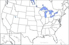
In this United States outline map worksheet, students make note of the political divisions of 50 states of the nation. This map may be used in a variety of classroom activities.
Curated OER
United States Map: Capitals
In this United States outline map worksheet, students make note of the political divisions of 50 states of the nation. This map is labeled with the 50 state capitals.
Curated OER
United States Outline Map
For this United States outline map worksheet, students note the political boundaries of the states that are labeled with state capitals.
Curated OER
Fourth Grade Social Studies
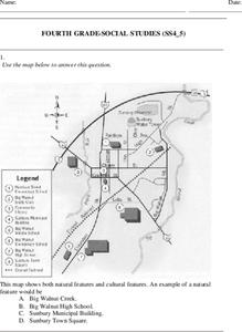
In this social studies worksheet, 4th graders answer multiple choice questions on state maps, city maps, road maps, political maps, and more. Students complete 25 multiple choice questions.
Curated OER
Italian City-States
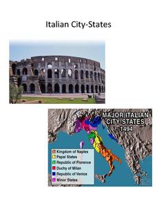
Check out this packet of worksheets involving mapping activities, vocabulary logging, reading and comprehending informational texts, etc., which focuses on Italian city-states during the fourteenth and fifteenth centuries. There are also...
Curated OER
US: Midwest Region
In this United States political map worksheet, students examine the state boundaries of the Midwestern Region. The map also highlights each of the state capitals denoted by stars.
Curated OER
USA Map
In this United States political map worksheet, students examine state boundaries. The map may be used in a variety of classroom activities.
Curated OER
USA Postal Abbreviations Map
In this United States political map worksheet, students examine the postal abbreviations of each of the states.
Curated OER
US: Northeast Region Map
In this United States political map worksheet, students examine the state boundaries of the Northeast Region. The map also highlights each of the state capitals denoted by stars.
Curated OER
Tennessee Map
In this Tennessee outline map, learners examine the political boundaries of the state. Students mark the state capital, major cities, and other state attractions.
Curated OER
California Map
In this California blank outline map worksheet, students examine the political boundaries of the state and then mark the state capital, other cities, and other state attractions on the map.
Curated OER
States and Capitals - Lesson 4 - U.S. Political Map
In this U.S. state capitals worksheet, students identify the capital cities of the 50 states using the latitude and longitude coordinates provided.
Curated OER
Washington Map
In this Washington state outline map worksheet, students examine political boundaries of the state and the placement its capital city as well as its major cities. This map is not labeled.
Curated OER
North America: Political Outline Map
In this North America political map worksheet, students examine the state and province boundaries of Mexico, Canada, and the United States.
Curated OER
United States of America Map: Capitals
In this United States outline map worksheet, students note the political boundaries of the states that are labeled with postal abbreviation codes as well the labeled state capitals.
Curated OER
Missouri Map
In this Missouri blank outline map worksheet, learners examine the political boundaries of the state and then mark the state capital, other cities, and other state attractions on the map.


