Curated OER
Reservoir Activity
Students research the economic importance of the major reservoirs in Illinois. In groups, they manage a budget for one of the lakes to promote tourism in the area. They also work together to create advertisements.
Curated OER
Possible Locations
Middle schoolers create maps with cutout pieces of paper that represent caverns. They develop a scale for their map and decide where the best location is to live. They discover the importance of map reading skills.
Curated OER
Interpreting Aerial Photographs
Students interpret aerial photographs. They view aerial photographs or satellite-produced images to locate and identify physical and human features. They study satellite images and label their images for bodies of water, clouds,...
Curated OER
Where Should You Turn?
Fourth graders complete activities to study decimal numbers. In this decimal numbers lesson, 4th graders study decimal numbers to express numbers less than one and intervals. Students complete map and location activities to study the...
Curated OER
Regions: Meet the Experts Presentation
Students gather information and create a web site on prairies and plains using a variety of resources, including the internet.
Curated OER
Female Artists
Students listen to excerpts from "History of Women Artists for Students" and discuss the artwork of three artists. They compare and contrast the styles of art and investigate a CD-Rom of famous artists.
Curated OER
Sentence Sense: Correcting Errors
In this language arts worksheet, students read 20 sentences that might contain errors. On the blank before each sentence, students write S if the sentence is correct, CS for a comma splice or FS for fused sentence (run-on).
Curated OER
Famous Women in the Military
Young scholars identify and research various women and their roles in military history. They describe how modern political positions are affected by differences in ideologies and viewpoints that have developed over time. Finally,...
Curated OER
Using the Software Program "Kid-Pix"
Students create a slideshow using the software program Kid-Pix. They use the differences in rocks and minerals for their presentation. They also demonstrate different ways to import and save pictures using the program.
Curated OER
Lesson Plan on Important Citizens in the American Civil War
Students, in groups, half representing the Confederacy, half the Union, conduct research to find out about important Civil War era citizens from each side. They explore the effect these people had on the war and what effect the war had...
Curated OER
Lesson Plan on Military Leaders in the American Civil War
Students, in groups, half representing the Confederacy, half the Union, conduct research to find out about important Civil War military leaders from each side. They find the answers to a variety of questions regarding their military...
Agriculture in the Classroom
Build it Better
If you think you can do better, feel free to give it a try. Pupils learn about the work on Temple Grandin and consider ways to improve animal handling facilities. They work in groups to build models to showcase their ideas.
Agriculture in the Classroom
Pumpkins... Not Just For Halloween
Celebrate fall with four pumpkin themed hands-on activities! After learning about pumpkins, scholars complete two activity sheets that reinforce estimation and word problems. They then plant pumpkin seeds and bake a pie in...
University of Illinois
University of Illinois Urbana Champaign: About Antarctica: Plate Tectonics
Explanation of why Antarctica has fossils of ferns, amphibians, and reptiles. Gondwanaland is discussed and shown in an interactive map.
The Newberry Library
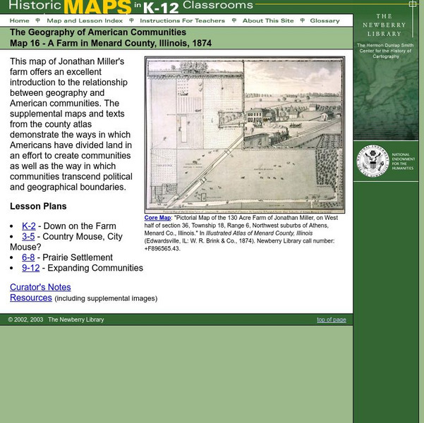
Newberry: Geography: Map 16: A Farm in Menard County, Illinois, 1874
Lessons in which students K-12 explore an 1874 map of an Illinois farm and supplemental material to gain a sense of the relationship between the geography and American communities.
University of Illinois
University of Illinois: Maps: Causes of the Vietnam War
This essay from The Oxford Companion to American Military History goes into the causes of the Vietnam War and shows how the United States became embroiled incrementally from the 1950s up to 1965. An interesting section explains how the...
Cayuse Canyon
The Us50
This clickable map of the United States gives students access to research information from history and tourism to attractions and famous historic figures.


