Hi, what do you want to do?
Curated OER
Customized Topographic Maps and Models
Pupils explore the information depicted on topographic maps. They construct a 3-D topographic map of a local area. They go on a field trip to the depicted area and compare the 'real world' with their models.
Curated OER
Symmetrical Masks
Fifth graders examine symmetrical and asymmetrical balance while making a mask using a variety of colored pencil and marker techniques. They use the process of revision and design as they complete their masks.
Curated OER
Flipping Butterflies: Triadic Colors and Symmetry
Second graders create symmetrical butterfly wings. In this symmetry lesson, 2nd graders observe butterfly wings and create their own. They make both sides symmetrical and mix primary colors to make secondary colors.
Curated OER
Go Fish
Learners use art with subject matter to communicate meaning and enhance learning.
Curated OER
Living in the Oak Woodlands: Early People of the Jewett Mine Area
Students are introduced to the early peoples living in the Jewett Mine area. After viewing transparencies, they view pictures of the mine today and its main area of production. For each picture, they develop symbols and captions about...
Curated OER
Living in the Oak Woodlands: Early People of the Jewett Mine Area
Students examine the archeology and native peoples of the Jewett Mine area of Texas. Using a map, they explain the economic patterns of the native groups and how the geography of the area affected activities. They compare and contrast...
Curated OER
The Ancient Mediterranean: Trade, Contact, and Cultural Diffusion
Ninth graders begin the lesson by being introduced to the basic terms of economics. In groups, they discover how they are affected by trade because of the clothes they wear and foods they eat. Using primary sources, they examine the...
Curated OER
Understanding Watersheds
Students should learn how their actions on land can affect the water quality of lakes and rivers.
Curated OER
Where Do We Come From? who Are We? Where Are We Going?
Middle schoolers are responsible for producing works for, coordinating (with the teacher?s assistance) and mounting an exhibition to be presented at a parent-teacher open house. They examine literature by Henry David Thoreau and other...
Curated OER
Inroads On Erosion
Students investigate the concept of farming as found in Puerto Rico an focus on how to prevent erosion. They use a sand table to conduct an experiment to observe the process of erosion and how it is influences by natural factors like...
Curated OER
Understanding a Geological Map
Students identify different types of maps and observe a geological map. For this geology lesson students create a replica map of a geological area that includes a key.
Curated OER
Color and Composition for the Creative Quilter
Students explore free-motion machine quilting through three exercises. They enhance patterns, make their own patterns and stitch a realistic quilted drawing. Students create a color wheel and develop a variety of methods that enable them...
Curated OER
Definition and Applications of Computational Science
Students participate in a variety of instructional experiences about Computer Science. They define Computational Science and describe computational simulation. They also compare and contrast Computational Science and Computer Science.
Curated OER
Mapping Seamounts in the Gulf of Alaska
Young scholars describe major topographic features on the Patton Seamount, and interpret two-dimensional topographic data. They create three-dimensional models of landforms from two-dimensional topographic data.
Curated OER
Coffee Plantations
Students explore coffee and coffee plantations. They view a Power Point presentation of what coffee looks like, where it grows, and how it is harvested. They discuss the environmental impacts on growing cofee and how it compares to...
Curated OER
Erosion Exploration
Ninth graders investigate the factors that increase soil erosion. They identify how the environment is affected by erosion. In small groups, 9th graders research erosion problems in various locations. Groups brainstorm ideas to help...
Curated OER
Birds of Wisconsin
First graders explore the job done by ornithologists. They role play identifying the characteristics that make a bird a bird. They discuss what makes each bird species unique. Students are introduced to Wisconsin's most common and rare...
TeachEngineering
Teach Engineering: Getting to the Point
In this activity, students learn how to determine location by triangulation. We describe the process of triangulation and practice finding your location on a worksheet, in the classroom, and outdoors.
Other
Creating Music
This online, interactive environment for music creation and exploration includes games and puzzles and interesting activities that teach about music in a visual way.
Goshen College
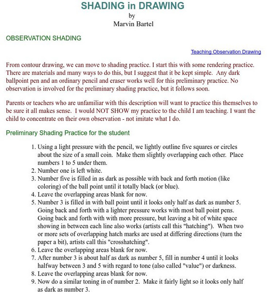
Shading in Drawing
After contour drawing is mastered this tutorial is great for anyone who is a beginner at shading a drawing. Gives suggestions on how to teach shading with practical ideas.


