Central Intelligence Agency
Cia: World Factbook: United States
This resource from the CIA World Factbook provides a detailed fact sheet of United States. The content covers the country's geography, people, government, economy, communications, transportation, military, and transnational issues. It...
Library of Congress
World Digital Library: United States History: Map
A collection of primary source materials linked to a map that explore a wide scope of events in the history of the United States from 1492 on. Click on any numbered circle and a popup appears showing one or more thumbnails and where the...
Library of Congress
Loc: Maps of Cities and Towns
Looking for old maps of somewhere in the United States? Check out this huge collection of maps! Search by the name of a city or town, another keyword, subject, title, or geographic location.
Annenberg Foundation
Annenberg Learner: United States History Map: From Sea to Shining Sea
A great interactive map that reinforces your knowledge of the geographic features of the United States. Begin by reading general information on reading maps, then play the game.
US Holocaust Memorial Museum
U.s. Holocaust Memorial Museum: Holocaust Encyclopedia
Browsable directory of encyclopedia articles on topics related to the Holocaust, with accompanying rich-media material (photos, maps, historical films, audio clips, etc.) available for particular topics. A full complement of articles is...
Harvard University
Harvard University Library: Open Collections: Immigration to the u.s.,1789 1930
Find books, pamphlets, photographs, maps, and manuscripts about immigration to the United States, principally nineteenth-century immigration. With a timeline of key dates in U.S. immigration history and a browsable list of search themes...
Other
Voters Ed
This learnng resource, a trial edition, contains an assortment of interactive maps. One map shares voting trends over past United States Presidential years. A voting prediction map is also provided.
PBS
Pbs Learning Media: Westward Expansion, 1860 1890
In this interactive map, explore several ways in which the United States experienced substantial growth between the years 1860-1890.
US Holocaust Memorial Museum
U.s. Holocaust Memorial Museum: German Soviet Pact
Read about the agreement between the Germans and Soviets that contained a secret section that provided for the partition of Poland and other parts of Eastern Europe between the two countries. Includes photographs, a map, and archival...
Other
Geological Survey Program: Facts About the New Madrid Seismic Zone
It's surprising to find out that the New Madrid Seismic Zone is the most seismically active area in the United States. The facts go into the New Madrid fault very scientifically and are very detailed. Find maps and charts showing...
Harvard University
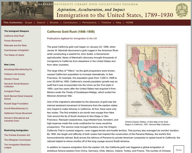
Harvard Univ.: Immigration to Us, 1789 1930: California Gold Rush (1848 1858)
Describes the California Gold Rush and the impact it had on immigration to the United States and to the future demographics of California. Includes a high-resolution map of the gold region of California in 1851.
University of Illinois
University of Illinois Urbana Champaign: Trends Method in Mathematics
Site provides another method that can be used to forecast the weather: the trend method. This method is based on prior movement of the storm. Site utilizes data, charts, maps, and predictions.
Annenberg Foundation
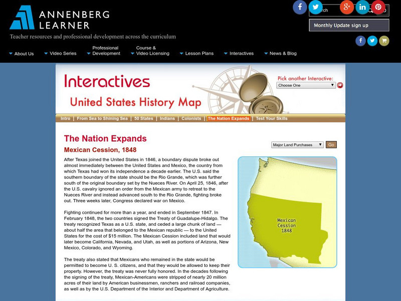
Annenberg Learner: The Nation Expands: Mexican Cession, 1848
See a map of the land acquired by the United States as a result of the Treaty of Guadalupe Hidalgo, called the Mexican Cession. From Annenberg Media.
Other popular searches
- United States Maps Regions
- Northeast United States Maps
- 50 United States Maps
- Create United States Maps
- Western United States Maps
- Custom United States Maps
- Outline Maps United States
- Blank United States Maps
- Maps, United States Rivers
- Maps United States Capitals
- Maps of the United States
- Maps United States


