Curated OER
Hazards: First Grade Lesson Plans and Activities
Examine the environmental hazards associated with volcanoes with a three-part science lesson. In the pre-lab, first graders learn that gas, landslides, ash, and lava are all hazards that come from volcanoes. They then explore...
Curated OER
Geological Development of Indiana and the Movement of Peoples Across the State
Fourth graders examine the geological development of the state of Indiana. Using the internet, they interact with the United States Geological Survey. They identify earthquake zones and energy resources in the state. They work...
Curated OER
Comparing Ethnic Groups
Eleventh graders explore the relationship between the United States and the Native Americans from after the Civil War to the early 1900's. They evaluate the actions of the United States towards Native Americans and compare the actions to...
Curated OER
Immigration Push and Pull Factors
Eighth graders examine significant ideas, beliefs, and themes; organize patterns and events; and analyze how individuals and societies have changed over time in Maryland, the United States, and the world.
Curated OER
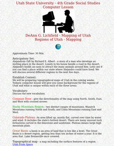
Regions of Utah - Mapping
Fourth graders draw a rudimentary map of the state of Utah, dividing it into the three regions: the Great Basin, the Colorado Plateau, and the Rocky Mountain Region.
Curated OER
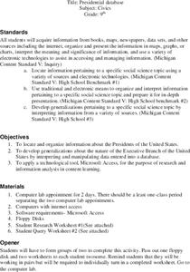
Presidential Database
Ninth graders research the Presidents of the United States. They develop generalizations about the nature of the Executive Branch using the researched information. Students complete a Query worksheet about the Presidents.
Curated OER
The Life of Dona Felisa Rincon De Gautier
Students identify Puerto Rico and discuss its relationship and proximity to the United States. Next, students identify significant events that occurred during Dona Felisa's term in office and how if may have affected her popularity. ...
Curated OER
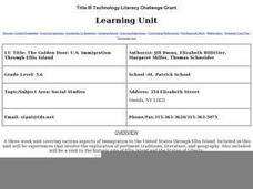
The Golden Door: U.S. Immigration Through Ellis Island
Students complete a unit covering various aspects of immigration to the United States through Ellis Island. They plan a fictional trip to America, entering at Ellis Island. and actually visit Ellis Island and the Statue of Liberty.
Curated OER
Angel Island
Eleventh graders understand that the experience of Chinese immigrants is exemplified as one of many other immigrants' experience coming to the United States.
Curated OER
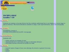
Inches Away
Students are introduced to maps, scale representations, ratios and cartography. They plot the itinerary for their family's dream vacation or a trip across the United States. Using maps, they determine the short route and second longer...
Curated OER
Scientists and Statesmen in Early America
Explore the historic and cultural context of the foundations of the United States of America. They identify the political and scientific contributions of early American scientists.
Curated OER
Sailin' Through Time...Rhode Island, The Ocean State
Fourth graders explore the history of Rhode Island. They research famous people who brought change to the state. They explore the state song, natural resources, and colonies of the state. In groups, 4th graders create a travel brochure...
Curated OER
How 9/11 Shaped U.S. Foreign Policy
High schoolers discuss the U.S. foreign policy and the components they consider important. They read and discuss President George W. Bush's speech of November 10, 2001. Students locate and mark countries President Bush identified in his...
Curated OER
Flat Stanley
Students read Flat Stanley, and make a poster board Flat Stanley which they sent out to family members in different states. They create an adventure for their Flat Stanley based on his "travels" and map out his trip.
Curated OER
Create a Story May
First graders review the terms characters, setting and events in stories. They are shown how to access the Kidspiration Map, and how to add pictures in the correct spaces on the map. Students insert pictures in the map of the story...
Curated OER
Spatial Connections
Students use maps, scales, and describe locations in order to learn about spatial sense. In this spatial sense lesson plan, students participate in many activities for this spatial sense unit that should last throughout the year.
Curated OER
What and Where is Puerto Rico?
Students explore Puerto Rico. They create K-W-L charts of their prior knowledge of Puerto Rico and observe maps of Puerto Rico. They code the map for measurements and land and water forms. They explore websites to gain background on...
Curated OER
Studying the States!!!
Pupils explore the fifty states of America. They also learn the capitals and locations of the states. They also study the population, mottos, flags, and interesting historical facts about each state.
Curated OER
Influence of Union and Confederate Resources in 1860 on the Civil War
Eighth graders compare/contrast population, railroad mileage, manufacturing plants, and industrial workers between the Union and Confederate States in 1860; students analyze effects of the resources of the Union and Confederate Forces on...
Curated OER
Fort Morgan
Students investigate how Mobile, Alabama was significant to the Confederacy during the Civil War. They analyze maps, read primary source documents, write a research paper on Civil War military technology, and explore the Fort Morgan...
Curated OER
Survey This!
Students examine biological information about George Washington focusing on his love of surveying. They explore cartography and field of surveying. They write a letter and make a map of Virginia.
Curated OER
What About Us? Women in the Civil War
Students research the role of women in the Civil War. In this Civil War unit, students research the role women played during the war. This unit includes eight different activities including vocabulary, writing prompts and a literature...
Curated OER
Civil War Naval Strategy
Students apply critical thinking skills to war strategy. In this Civil War map lesson, students use their knowledge of latitude and longitude as well as scale to respond to questions regarding Civil War battle strategies.
Curated OER
On the Street Where You Live: Online Mapping
Students access the Internet and use Google Maps to pinpoint their home address and get directions to and from school. they write the directions in paragraph format.
Other popular searches
- United States Maps Regions
- Northeast United States Maps
- 50 United States Maps
- Create United States Maps
- Western United States Maps
- Custom United States Maps
- Outline Maps United States
- Blank United States Maps
- Maps, United States Rivers
- Maps United States Capitals
- Maps of the United States
- Maps United States


