National Geographic
National Geographic: Geostories: Public Transportation
Use this interactive GeoStory to explore the major public transportation systems around the world.
Polk Brothers Foundation Center for Urban Education at DePaul University
De Paul University: Center for Urban Education: Public Transportation [Pdf]
"Public Transportation" is a one page, nonfiction passage about public transportation in Chicago helps people get where they want to go and provides jobs for many people. It is followed by questions which requires students to provide...
The Newberry Library
Newberry: Geography of Transportation: Map 12: Auto Trails of Florida, Ca. 1924
Lessons for students K-12 using historical maps teach students about the history of travel and tourism by car, identifying the technological and economic changes taking place in the 20th Century.
Other
Texas Comptroller of Public Accounts: The Energy Report: Hydrogen [Pdf]
Chapter 22 of a report on the energy industry in Texas. It looks at hydrogen as an energy source, its history, and uses. The economic impact of the hydrogen energy sector in Texas is described, the consumption of hydrogen, methods of...
Other
Texas Comptroller of Public Accounts: The Energy Report: Coal [Pdf]
Chapter 7 of a report on the energy industry in Texas. It looks at coal, its history, its uses, its economic impact in Texas, consumption, mining, and the transportation of coal. The process of generating electricity from coal is...
Digital Public Library of America
Dpla: Full Steam Ahead: The Steam Engine and Transportation in the Nineteenth Century
This primary source set uses illustrations, documents, and photographs to tell the story of how the steam engine transformed the railroad industry and played crucial roles in the Industrial Revolution and westward expansion.
Khan Academy
Khan Academy: Public Key Encryption
Public Key Encryption, an asymmetric encryption technique, is used to allow computers to securely communicate. The high level process is explained in this article.
Read Works
Read Works: New Lives for Old Buses
[Free Registration/Login Required] An informational text about an African country that uses old school buses for public transportation. A question sheet is available to help students build skills in reading comprehension.
Other
New York Subway History: Beach Pneumatic Transit
Not all inventions turn out to be good ideas! Read about Alfred Ely Beach's idea to build a pneumatic tube under the streets of New York City for subway trains to use.
Department of Defense
Do Dea: Spanish 2: Unit 10: Los Viajes
In this tenth unit of an intermediate Spanish course, students learn about transportation systems in Spanish-speaking countries and how people travel. They will listen, speak, and write about traveling using related vocabulary. They will...
Other
How Do I? A Practical Guide to Living in America
Miami-based law firm, Immigration Law Offices, Inc., provides information for new immigrants about basic tasks, such as finding housing, making phone calls, mailing letters, opening bank accounts, learning English, finding a doctor, and...
Other
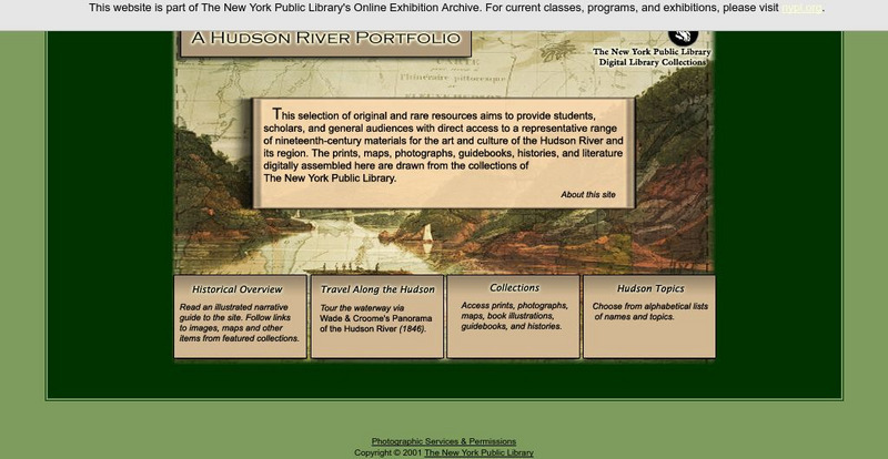
New York Public Library: A Hudson River Portfolio
Learn about the Hudson River and the role it played in the westward and northward expansion of America (to the Great Lakes regions and to Canada) in the nineteenth century. Useful for understanding the importance of rivers as means of...
Read Works
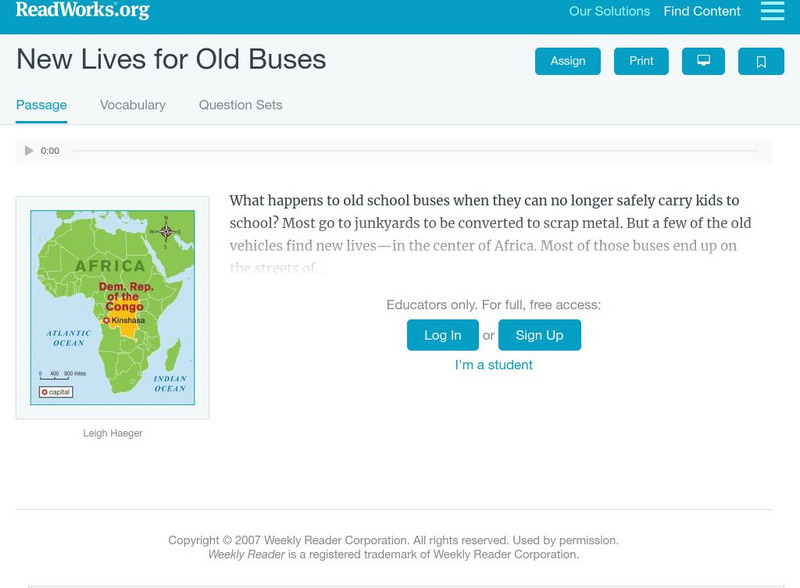
Read Works: New Lives for Old Buses
[Free Registration/Login Required] A literary text about old school buses being used for public transportation in Kinshasa, the capital of Congo. A question sheet is available to help students build skills in reading comprehension.
TeachEngineering
Teach Engineering: Land! Water! Sky! Oh My!
This lesson focuses on the importance of airplanes in today's society. Airplanes of all shapes and sizes are used for hundreds of different reasons, including recreation, commercial business, public transportation, and delivery of goods,...
The Newberry Library
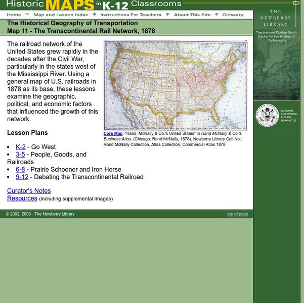
Newberry: Historical Geography: Map 11: The Transcontinental Rail Network, 1878
Lesson for K-12 using historical maps examine the geographic, political, and economic factors that influenced the growth of railroads.
Digital Public Library of America
Dpla: The Panama Canal
This primary source set includes photographs, documents, maps, and footage that can be used to explore the stories of environmental issues, political struggle, and human labor that built the Panama Canal.
Houghton Mifflin Harcourt
Holt, Rinehart and Winston: Professional Writer's Models: Grade 10: Persuasive Essay [Pdf]
From the novel titled "We the Media," this essay from writer Adam Hochschild presents a persuasive argument against the volume of televisions in places of public transport. A good model which can be used as a resource for students.
TeachEngineering
Teach Engineering: Traffic Lights
Students learn about traffic lights and their importance in maintaining public safety and order. Using a Parallax Basic Stamp 2 microcontroller, students work in teams on the engineering challenge to build a traffic light with a specific...
Science Education Resource Center at Carleton College
Serc: Energy and the Environment
An experiment illustrating how people's decision to drive instead of using more environmentally friendly means of transportation can lead to negative consequences. Students develop policy recommendations to solve the resulting public...
Countries and Their Cultures
Countries and Their Cultures: Kanuri
The Kanuri are the dominant ethnic group of Borno Province in northeastern Nigeria. They number over 3 million in Nigeria, about 500,000 in Niger, 100,000 in Chad, and 60,000 in Cameroon. They are called "Beri-beri" by the Hausa, but...
Other
North Dakota State University: Managing the Risks
An in-depth look at the risks of using anhydrous ammonia as an agricultural fertilizer. Provides plenty of safety and equipment information, as well as exposure, transport, and storage guidelines.
CPALMS
Cpalms: Mudslide
[Free Registration/Login Required] This is a formative assessment task where students are asked to first make a mathematical model of a mudslide given the dimensions of the area it covers. They then use an estimate of density to...

![De Paul University: Center for Urban Education: Public Transportation [Pdf] Unit Plan De Paul University: Center for Urban Education: Public Transportation [Pdf] Unit Plan](https://d15y2dacu3jp90.cloudfront.net/images/attachment_defaults/resource/large/FPO-knovation.png)



![Holt, Rinehart and Winston: Professional Writer's Models: Grade 10: Persuasive Essay [Pdf] Activity Holt, Rinehart and Winston: Professional Writer's Models: Grade 10: Persuasive Essay [Pdf] Activity](http://content.lessonplanet.com/resources/thumbnails/409997/large/bwluav9tywdpy2symdiwmduymc0xnjiwni02exlybtcuanbn.jpg?1589982925)
