Curated OER
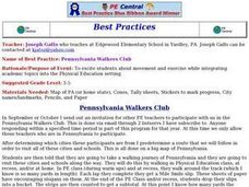
Pennsylvania Walkers Club
Students participate in an school-wide walking club. Students choose a destination in Pennsylvania they would like to visit. After plotting the best way to get their using a map, the walk each day and record their distance in miles on...
Curated OER
Rhode Island State Map
In this geography of Rhode Island worksheet, students color and label a map with the major cities and physical features. Students also study a U.S. map to learn the location of the state of Rhode Island.
Curated OER
Where Do You Live?
Students discuss the community in which they live. They take an observation field trip and then use paper and boxes to design and construct a model of their community.
Curated OER
Of Compasses, Sextants and Chronometers
Students identify longitude and latitude and how they were, and are, determined, and discuss the rudiments of navigation in the eighteenth century.
Curated OER
Temperature Zones
Students read and make inferences about a map showing various temperature zones across the United States.
Curated OER
Mapping the Bone Field: An Area and Scale Exercise
Here is an excellent cross-curricular lesson. Learners relate multiplication to area by making a grid on graph paper, and then creating the same grid in real space outside in the school yard.
Curated OER
Special Places in Our Community
Young scholars compare and contrast cities whether they are large or small, rural or urban. They use digital photography to take pictures of the different types of cities.
Curated OER
What's In a Name?
Students examine the origins of the names of U.S. states, focusing on names that were derived from Native American words. They are provided with lists of the names of the 50 states, and then research online or in library resources the...
Curated OER
Folk Dances from Spanish Speaking Countries
Learners explore dance activities from three different Spanish speaking countries.
HISTORY Channel
Westward Expansion of the United States
How did early American pioneers decide what to take with them on their journeys, and what was their traveling experience like? Here you'll find a collection of activities to help you explore Westward Expansion with your young learners.
Curated OER
Valentine Village
Students build a small city by using a half-gallon milk or juice carton to "build" a miniature home. They decorate their buildings with construction paper, yarn, beads, or whatever they have and become mailmen, delivering Valentine's to...
Curated OER
Tango Stories
Students listen to tango music and research the country it came from. In this music instructional activity, students find that tango music comes from Argentina. They listen and dance to the music and then write stories.
Curated OER
Louisiana Purchase
Students use maps, lecture and discussion to explore the unique contributions to the U.S. resulting from the purchase of the Louisiana Territory. They complete worksheets, label maps and participate in discussion groups.
Curated OER
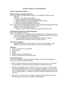
Pickles to Pittsburgh
Third graders explore the geography in the book "Pickles to Pittsburgh" by Judy Barrett. They read the story and identify the physical features of the town, discuss the elements included on a map, and create a map of the town of...
Curated OER
Neighborhood and Community
Students research the history of North Logan, Utah. Using photographs, they identify the similiarties and differences between the past and today. They locate their home on a large map discuss ways in which different groups and...
Curated OER
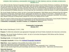
Community Cartography
Learners use an inflatable globe which they wrap in plastic wrap. They use a permanent marker and outline the continents, and label major oceans and trace the equator. Students bring heir globes and use their projection for a discussion...
Curated OER
Philanthropy and You
Students identify human rights and study the values of historical figures who fought for human rights. In this human rights instructional activity, students define the term human rights and research examples of human mistreatment in...
Curated OER
An Ancient Greek and Roman Festival
Third graders label a map of ancient Greek and Roman civilizations and do a written report on one element of these two cultures. They participate in discussions of food, farming, daily life and government (among others). Students use the...
Curated OER
Immigration to the United States
Third graders search TDC database for images of immigration from other countries, maps, and diaries. They identify why immigrants came to the United States and engage in a role-play simulating an experience the immigrants might have had.
Curated OER
Landforms
Young scholars begin their examination of landforms. Using a map, they locate and identify the major landforms on Earth. They discuss how landforms affect the lifestyle of the community and determine which goods and services the...
Curated OER
Country Landform Brochure
Third graders create brochures that include landforms, natural resources and pictures of a country that has been researched or studied in class.
Curated OER
Discovering the Local Community
Third graders create a mini-atlas of the human and physical characteristics of their local community, which includes landforms, climate, vegetation, population, and economics. They use nonfiction map-related resources to obtain ...
Curated OER
Learning About the Equator, The Seven Continents and the Four Oceans
Students use a globe or map to locate the equator, oceans and continents. Using the internet, they spend time surfing through predetermined websites on continents and oceans. They write facts on different parts of the globe on index...
Curated OER
Landmarks in Paris
Third graders create a map of France. They use computers to view an "in flight" movie about Paris. They research Paris using books and the internet. Students practice using the program "Comic Life." They import illustrations for each of...
