Hi, what do you want to do?
Global Oneness Project
Highways and Change
What is the cost of change? Roberto Guerra's photo essay "La Carretera: Life and Change Along Peru's Interoceanic Highway" asks viewers to consider the impacts of the 1,600 mile-long highway through Peru and Brazil that connects Pacific...
Curated OER
Native Americans and Topography at Rose Bay
Students visit a wetland ecosystem. While they are there, students explore how to read topography maps of Rose Bay.
Curated OER
Ancient Mesopotamia
In this geography activity, students read about ancient Mesopotamia and respond to five short answer questions that follow. They identify what part of the country was the heart of Mesopotamia. Then students compare the given map with a...
Curated OER
Los Trenes de Espa¿¿a
Learners identify and read correctly the symbols of a Spanish train schedule. Using maps, they identify and locate major cities and landforms of Spain and practice using a twenty-four hour clock. Using the internet, they navigate a...
Curated OER
U.S. State Reports
Learners conduct Internet research on a chosen U.S. state. They include information about the history, climate, geography, symbols, and tourist attractions of their state, and write an original poem.
Curated OER
Site vs. Situation: Location! Location! Location!
Students examine places with a similar latitude to Alabama, and discuss the importance of a location's site versus its situation. They analyze maps, create a chart, and write a paragraph on the difference between site and situation.
Curated OER
Peru's Earthquake
Students identify the patterns of earthquakes by mapping USGS data and comparing it to mapped tectonic plates. They discover the relationship between earthquakes and the moving plates of the Earth's crust.
Curated OER
Traveling the Transcontinental from Yesterday to Today
Students examine the impact of the train on the physical landscape and spatial organization of America. They read and analyze various poems, analyze maps, and develop a list of the positive and negative changes brought by the...
Curated OER
Circle the Earth - Explore Surface Types on a Journey around Earth
Students use CERES percent coverage surface data with a world map in locating landmasses and bodies of water at Earth's Equator.
Curated OER
Cherishing the Water of Life
Students work in small groups to brainstorm a list of all creatures, plants, natural, and artificial processes that use or depend on fresh water. The class views an aquarium filled with water representing all the water in the world. The...
Curated OER
Immigrating to America
Students study the American immigration experience. In this Ellis Island instructional activity, students research primary documents from the immigration station, take a tour of the station, and then prepare and perform dramatic...
Curated OER
Fulfilling the Visions
Students investigate the economic implications of public programs to improve transportation. They become familiar with the visions that were articulated for both the Erie Canal and Interstate Highway System.
Curated OER
Orienteering Your School
Students use a compass to move from one point to another point. The procedure can be a valuable tool to help students become more observant of their surroundings.
Curated OER
Exploring the Variety of World Markets
Students examine the various types of world markets and analyze the differences between developed and developing countries. They watch a PowerPoint presentation and take notes, participate in a role-play that demonstrates supply and...
Curated OER
Survival or Democracy?
Young scholars take a closer look at Pakistan today. In this current events activity, students visit selected websites to discover a history of the country, the cultural values of its citizens, and structure of the of the government...
Curated OER
Community Centered Neighborhood Development
Ninth graders explore the culture of the neighborhood. In this Social Studies lesson, 9th graders examine the different development sites in their community. Students research the zoning regulations.
Curated OER
Earthweek
Students explore the ongoing changes in the relationship between human beings and their physical world. They read articles on environmental changes. Students write a short analysis of the effect of the event on the residents of the area...
Curated OER
Mechanics Hall
Students complete a variety of activities that go along with the study of and possible fieldtrip to Mechanics Hall (Black River Valley) in Worcester, MA. They examine the role industrial development had in society at the turn of the...
Geographyiq
Geography Iq
Detailed geographical information on any country is available at this site. Within the World Map section, you can get facts and figures about each country's geography, demographics, government, political system, flags, historical and...
Other
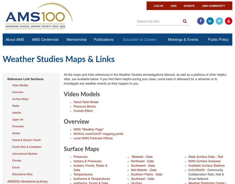
American Meteorological Society: Data Streme Atmosphere
This site provides an extensive amount of weather information. Includes current information, forecasting, and historic weather related events. Weather map symbols and terminology explained.
National Geographic
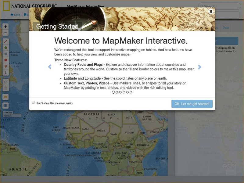
National Geographic: Mapmaker Interactive
Interactive map maker in which students can manipulate world maps adding layers and data with multiple sources of information.
World Atlas
World Atlas: United States of America
A comprehensive guide to the United States of America including a variety of maps, statistics, facts, and information on history, geography, flags, symbols, travel, and much more.
World Atlas
World Atlas: China
Provides an overview of China with emphasis on history. Click on any of the tabs above the maps to learn about its geography, flags. symbols, and more.
World Atlas
World Atlas: Europe
A comprehensive guide to Europe including a variety of maps, statistics, facts, and information on history, geography, flags, symbols, travel, and much more.


