Curated OER
South Carolina Voices: Lessons from the Holocaust
Learners examine the location of the Holocaust. For this mapping lesson, students analyze two maps identifying the area in which the Holocaust took place. Learners familiarize themselves with the symbols used during this time...
Curated OER
Where, Oh Where
Students use maps to explore several traditional regions of Native Americans. They research information on the regions' climate, resources, landforms, flora and fauna.
Curated OER
Autobiographical Talking Sticks
Students begin the lesson by developing a map of their lives. Individually, they take this information and write a personal narrative. They create symbols to represent the various times in their lives and introduce them into their...
Curated OER
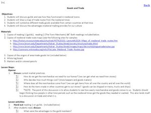
Goods and Trade
Students examine the trade that took place in Medieval Times. In this Middle Ages lesson, students read and discuss the roles of the guild members, the town merchants, and the individuals in trading goods. Students make maps of Medieval...
Curated OER
Agriculture in Africa: Spotlight on Nigeria
In this African agriculture activity, students read a 1-page article about Nigeria's cash crops and then complete a map activity based on the reading.
Curated OER
Locomotor Treasure Hunt
Students practice in refining their locomotor skills and developing their understanding of pathways and basic map reading skills.
Curated OER
United We Stand
Students study Muslim wedding celebrations. They explore Muslim culture and wedding celebrations around the world. Students discuss vows, symbols, and traditions. They create wedding costumes and reenact part of a wedding ceremony.
Curated OER
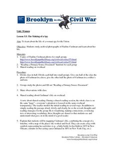
The Making of a Spy
Students study the life of a woman spy for the Union. They study archival photographs of Pauline Cushman and examine her life. They create a key with
symbols representing her activities (e.g., a baby bottle for her birth in 1833 in New...
Curated OER
Native Americans and Topography at Rose Bay
Students visit a wetland ecosystem. While they are there, students explore how to read topography maps of Rose Bay.
Curated OER
Lady Liberty
Students discussed symbolism, freedom and the Statue of Liberty. They explored Keith Haring's style. They used colored markers, color, and line to draw a Statue of Liberty.
Curated OER
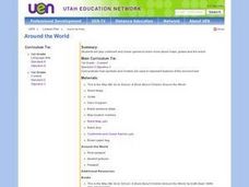
New: Around the World
First graders identify and demonstrate how symbols and models are used to represent features of the environment. They use a map and a globe to label where the students in the book came from, point out the continent, and show which ocean...
Curated OER
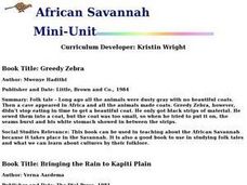
African Savannah
Students are read two African fairy tales. Using the text, they create a map and key for each region mentioned. They compare and contrast the various communities and discover how geographic features affect how people live.
Curated OER
Ancient Mesopotamia
In this geography worksheet, high schoolers read about ancient Mesopotamia and respond to five short answer questions that follow. They identify what part of the country was the heart of Mesopotamia. Then students compare the given map...
Curated OER
Los Trenes de Espa¿¿a
High schoolers identify and read correctly the symbols of a Spanish train schedule. Using maps, they identify and locate major cities and landforms of Spain and practice using a twenty-four hour clock. Using the internet, they navigate...
Curated OER
U.S. State Reports
Students conduct Internet research on a chosen U.S. state. They include information about the history, climate, geography, symbols, and tourist attractions of their state, and write an original poem.
Curated OER
Where in the World is Tacky the Penguin?
First graders complete activities related to they story they are reading in class. Through art and measurement activities, 1st graders relate a story from the "Tacky the Penguin Series" to everyday objects and ideas they encounter.
Curated OER
How We Get From Here to There
Students recognize various types of movement people rely on to get from one place to another, locate the forms of movement on a map and choose one form of movement and research its path.
Curated OER
Columbian Contexts
Students explore geo-political and economic contexts for the European Renaissance journeys of exploration, including those of Columbus, create cartographic symbols, and add those symbols to a print-out of Ptolemy's map.
Curated OER
Traveling the Transcontinental from Yesterday to Today
Students examine the impact of the train on the physical landscape and spatial organization of America. They read and analyze various poems, analyze maps, and develop a list of the positive and negative changes brought by the...
Curated OER
W Is For Wyoming
Young scholars engage in a lesson about the state of Wyoming. They complete a worksheet looking for facts and identify some common symbols used to represent the state. The symbols are used to practice sounds and give context to class...
Curated OER
Exploring For Copper Deposits
Students examine ore deposits and identify factors in their origin. They analyze geologic maps, and locate porphyry copper deposits on a sediment geochemistry map.
Curated OER
Mural Mania
Students create a mural that displays symbols for their home state. They complete worksheets and read a book about their state. They collect images of the state flower, tree and bird for the mural. There are 5 other lesson plans included...
Curated OER
Peru's Earthquake
Students identify the patterns of earthquakes by mapping USGS data and comparing it to mapped tectonic plates. They discover the relationship between earthquakes and the moving plates of the Earth's crust.
Curated OER
Site vs. Situation: Location! Location! Location!
Students examine places with a similar latitude to Alabama, and discuss the importance of a location's site versus its situation. They analyze maps, create a chart, and write a paragraph on the difference between site and situation.
Other popular searches
- Weather Map Symbols
- Weather Map Weather Symbols
- Topographic Map Symbols
- Map Symbols First Grade
- Teaching Map Symbols
- Geography Map Symbols
- Os Map Symbols
- Map Symbols and Neighborhood
- Location/ Map Symbols
- Wetaher Map Symbols
- Reading Weather Map Symbols
- Weather Map Symbols Exercise


