Curated OER
Story Mapping
Fill-out a story map to help your scholars with pre-writing. They will use a story map template to pre-write. They also organize their ideas into steps which become the foundation for their first draft. Concrete objects are brought in to...
Curated OER
Orienteering: Map Skills
Students use a map to locate six specific landmarks on a course using a map. They identify how maps can help us and write a paragraph describing how to get from one landmark to another on the map.
Curated OER
Maps
Maps, globes, and computer software aid young explorers as they locate state capitols, major cities, geographic features, and attractions for states they are researching. They then use desktop publishing software to create a map to share...
Curated OER
Using a Compass Rose
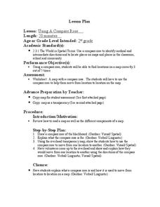
Second graders practice navigating around their neighborhood by utilizing a compass. For this geography lesson, 2nd graders view a compass rose, discover the purpose of it, and utilize it to navigate through a printed map of their...
Curated OER
Using a Compass Rose
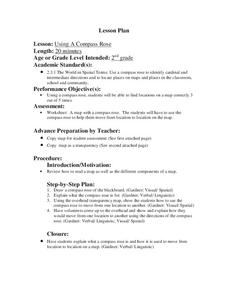
Second graders explore geography by completing a mapping activity in class. In this directional lesson, 2nd graders examine a map in class and utilize a compass rose to identify their location and destination. Students write directions...
Curated OER
Stranded along the Coast
Students plot stranding sites onto a map using latitude and longitude as well as compass directions with respect to coastal features. They identify several species of marine animals that might become stranded; distinguish their...
Curated OER
Naviagational Tools
Fifth graders create a compass, with the help of written instructions and then write six sentences discussing how compasses work and why they are helpful. They discuss the different types of navigational tools and how they are helpful.
Curated OER
Map Making with Lewis and Clark
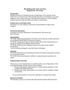
Students develop maps based on a virtual internet expedition of The Louisiana Purchase land area. They create the maps based on an actual outdoor expedition of their communities. Student create two maps, one based on the Louisiana...
Curated OER
Going, Going, Ghost
Third graders research ghost towns. In this geography instructional activity, 3rd graders locate ghost towns on a map and choose one location to research. Students construct a research paper and present it to the class.
Curated OER
Route To School Mapping Assignment
Students create a map showing the route from home to school. Students include a legend, compass, label buildings, and color the map route on the map. They write out specific directions.
Curated OER
Places in My World
Second graders explore where they are located on the globe. In this maps and globes instructional activity, 2nd graders use a map to show where they live and show the cardinal directions. Students identify characteristics of...
Curated OER
Capitals, Oceans, And Border States
Students investigate geography by completing games with classmates. In this United States of America instructional activity, students examine a map of North America and identify the borders of Mexico and Canada as well as the Pacific and...
Curated OER
Our City
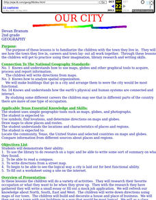
Second graders familiarize themselves with the town they live in by practicing their imagination, library research and writing skills.
Curated OER
Planet Earth
Pupils explore and analyze data from different maps in order to explain geographic diversity among the continents. Student groups research continents' physical features and examine how they contribute to quality of life for inhabitants.
Curated OER
U.S. Geography: The Northeast
Students investigate U.S. Geography by creating a map in class. In this natural resource lesson, students create a map of the United States and research the Northeast based on their resources and recyclable materials. Students...
Curated OER
Let's Travel!
Students review the rules and expectations, they earn points each day by making the correct behavioral choices. They read maps and do Internet reserach, students become aware of United States and or world geography. Students check...
PBS
Arthur's World Neighborhood: Building Global and Cultural Awareness
Kids become global anthropologists as they explore commonalities and differences both in their classroom and expanding across the globe. Throughout several activities, learners conduct partner interviews that culminate in Venn diagrams,...
Curated OER
Cartography
Students research about cartography and how to be a cartographer. In this math lesson, students draw a map of their classroom. They use a robot to explore navigation using a compass rose.
Curated OER
Where In the World Am I?
Learners identify their location in the world after studying latitude, longitude, relative location, and absolute location. They use assigned web site to find information to make a flipbook that answers questions about their location in...
Curated OER
BOUND TO BE NEW HAMPSHIRE
Students identify neighborhood, town, and state boundaries. They distinguish between natural and man-made boundaries. They identify major state geological features and explain how NH boundaries have changed over time.
Curated OER
Geography: Islands and Alcatraz
Students, in groups, create maps of islands including map keys and compass roses. They compare and contrast their island communities with that of the island prison, Alcatraz. Students select from a series of projects, including writing...
Curated OER
Social Studies For Elementary School
Fourth graders become familar with maps and work in groups to get an overview of what Europe is like. The real assignment is in the form of students creating their own trip if it could really be taken.
Curated OER
State Research
Students apply previous knowledge of the United States to label a classroom map and then work independently to complete an online scavenger hunt. This lesson is intended for an upper-elementary classroom studying American History and/or...
Curated OER
All Aboard!
Students, in groups, create a display showing a "train trip" to a destination of their choice from a teacher-made list. They also answer a series of questions related to their trip. Groups present their displays.


