Curated OER
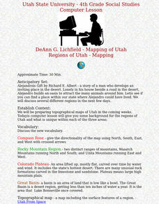
Regions of Utah - Mapping
Fourth graders draw a rudimentary map of the state of Utah, dividing it into the three regions: the Great Basin, the Colorado Plateau, and the Rocky Mountain Region.
Curated OER
Columbian Contexts
High schoolers explore geo-political and economic contexts for the European Renaissance journeys of exploration, including those of Columbus, create cartographic symbols, and add those symbols to a print-out of Ptolemy's map.
Curated OER
Cartographer on Assignment: Creating a Physical Map of Africa
Students use geographic information to make an outline map of Africa, then demonstrate their understanding of the physical landscape of Africa by using a variety of materials to create a physical map of Africa
Curated OER
Charting Neptune's Realm: Profiles
Students identify and describe the importance of nautical profiles in early navigation. They draw a profile of a street or mall and explore the effectiveness of different types of directions.
Curated OER
Latitude
Students examine the theory of finding latitude and discuss the uses of an astrolabe, cross-staff and octant. They determine an Astronomical Table for their classroom.
Edgate
Great Grids
Learners use grid boxes as a measurement tool and discover how grids are used for mapmaking and scaling down an area. They begin by attempting to draw a model shape drawn by the teacher by using the gridding process. At the conclusion of...
Aurora Trust
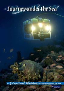
Journey Under the Sea
Discover the interesting world of maritime archaeology and explorations under the sea with this nice set of worksheets, which cover such topics as search tools and techniques of underwater archaeology, carbon dating, vessel types, and...
Curated OER
Schoolyard Geology
Discover that maps show information about an area and that they have common features like scales and legends. View an aerial map of your school and find features on the map such as the playground, roads, and trees. Trace the outline of...
Curated OER
Aerial Photographs
In this geography worksheet, students read an excerpt about aerial photographs and how they are taken. Then they identify shape, size, tone, shadows, and other hints that might be seen. Finally, students respond to 5 short answer...
Curated OER
Map Keys
In this geography worksheet, students identify who a cartographer is and what they do specifically. They study an outline map of a fictitious island and then, respond to the three questions that follow. Finally, students add three more...
Curated OER
Make Your Map
In this map making instructional activity, students make their own maps, draw symbols and place them in the map key area, and draw a compass rose to show directions for the map.
Curated OER
I Can Find that Where? - A Study of Landforms
First graders make landform maps of the United States. In this landform lessons, 1st graders participate in a discussion of local landforms and make a landform map of the United States. They follow the teacher's directions to add plains,...
Curated OER
the Bronze Bow By Elizabeth George Speare
Sixth graders learn about how Rome occupied ancient Palestine around 35 BC to 35 AD through cartography mathematics, creative writing and art.
Curated OER
Labeling a Map of the British Isles and Elapsed Time
In this map work and elapsed time activity, students label England, Scotland, Wales, and Ireland on a map. They calculate the elapsed time of a delivery that is described in a word problem that is broken down into four parts.
Curated OER
The Country of Chile - Map Work
In this map worksheet, learners label a map of Chile by following 11 directions given at the bottom of the page. They label landforms and water bodies associated with the country.
Curated OER
Kid Maps: Reading and Creating Maps with Human Characteristics
Young scholars look at maps. In this map lesson, students listen to the book My Map Book by Sara Fanelli and they see the difference between human characteristics (buildings, etc.) and natural characteristics (rivers, etc.). They create...
Curated OER
Finding My Way
Students determine a route from their home to the Stones River National Battlefield. In this map work lesson, students use a detailed city map of Murfreesboro to locate a route to the Stones River National Battlefield. They follow...
Curated OER
A Special Relationship: Connecticut and Its Settlers
Students study both geological and geographical features of Connecticut and the New Haven area. They focus on map works and rock formation.
Curated OER
Geography and World History
Students build off of their current knowledge of geography and world history, while being introduced to new concepts and ideas.
Curated OER
"Trails, Rails, and Roads" Lesson 2: Road Tripping
Students practice map skills and take a virtual road trip through Maine examining the history of transportation. They create questions from the information they learned and play a game against other groups.
Curated OER
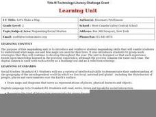
Let's Make a Map
Second graders draw maps of their playground, noting objects such as trees and play equipment. Working in groups, they make maps of different parts of the school and assemble them into a schoolwide map. They make maps on a field trip to...
Curated OER
Polar Day: Living in the Canadian North
Students study the Canadian North. In this Canadian North lesson, students study the physical characteristics and the lifestyles of people in that region. Students complete map making and creative activities that help them learn about...
Curated OER
What Can a Map Tell You?
Students investigate how maps can provide useful information about health issues. They study a map to draw conclusions about cholera death in London.
Curated OER
Mapping the Past
Students study historical maps to view how the world evolved from medieval times through the Renaissance. They work in groups to examine the maps and present a report on one of the listed maps.
Other popular searches
- Cartography Lessons
- Cartography Color
- Cartography Geology
- Web Cartography
- Cartography (Maps
- Cartography and Mathematics
- Cartography Sociology
- Cartography Lesson Plans
- Cartography Celestial
- Cartography Sociolocial
- Cartography Australia
- History of Cartography


