Curated OER
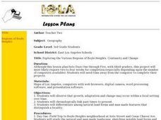
Exploring the Various Regions of Boyle Heights: Continuity and Change
Student study the local landscape of Boyle Heights, California and draw a sketch of the area. Students use map making skills in this activity. Studient make a portfolio of information and photographs they accumulate over time on the area.
Curated OER
'Tis a Long, Long Way to Tipperary!
Middle schoolers practice finding the location of cities across the world by using an interactive Web site, and figure out the world's time and the value of time zones the world over.
Curated OER
Draw A Coastline
Students identify, locate and draw at least ten different geographical features on a map. Using the map, they must make it to scale and include their own legend and compass rose. They share their map with the class and answer questions.
Curated OER
Indiana Tornado Project
Students become familiar with the use of GIS for research, natural phenomena in Indiana, and analyzing collected information.
Curated OER
Minnesota Floor Map
Learners examine the physical geography of Minnesota, work cooperatively to design a map of Minnesota and develop spatial and relative location of Minnesota landmarks and physical characteristics.
Curated OER
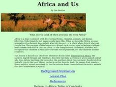
Africa and Us
Students identify places that a child living in South Africa and they themselves might want to visit.
Curated OER
Cabeza de Vaca Meets the Coahuiltecans
Students examine the difference between primary and secondary sources by examining the journal of Cabeza de Vaca and creating a poster about the Coahuitecan Indian groups. They portray a scene of the groups in 16th Century south Texas.
Curated OER
Goop to Geoforms
Students illustrate geographical terms in three-dimensional form. They use magic modeling goop and paint to create features of the geographic landscape. Students explain the meaning of geographical terms.
Curated OER
U.S. Archaeological Sites: Geography Practice
In this archaeological sites worksheet, students read about sites in the Unites States and use a map to complete a set of 7 short answer questions.
Curated OER
The Plains Indians
Pupils have a better understanding of another culture other than their own. This help them to see that there were other people living in this region before us.
Curated OER
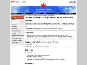
Canada's Immigration patterns: 1950 to Present
Learners examine the changing immigration pattern of Canada. In this immigration activity, students use statistical data from a web-site to complete a worksheet and graph their findings.
Curated OER
Tooling Around Arizona: Reading Arizona Maps
Learners research Arizona maps. In this map lesson, students discuss map titles, scales, directions, elevation, and symbols. The class will examine topography, landforms, and rivers found on an Arizona map.
Curated OER
Driving Forces Forestry In Canada
Students discuss the natural and economic impact of forests and forestry. Using given statistics they construct different types of graphs in which they make observations and draw conclusions.
Curated OER
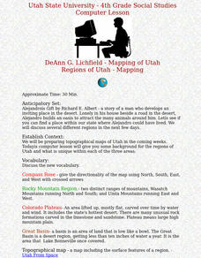
Regions of Utah - Mapping
Fourth graders draw a rudimentary map of the state of Utah, dividing it into the three regions: the Great Basin, the Colorado Plateau, and the Rocky Mountain Region.
Curated OER
What Is Smart Growth?
Students practice planning for the development of an area using the goals of Smart Growth as a guide. They analyze how regions can affect government policies. They role-play citizens who recommend how an area should be developed.
Curated OER
The Big Crush
Students examine weather maps from their state from the past few days. They examine the Highs and Lows on the maps to determine what kind of weather they produce. They use that information to better prepare for their activities and what...
Other popular searches
- Landform Maps
- France Geography Landform
- Landform Map of Virginia
- Landform Vocabulary
- Geography Land Forms
- East Asia Land Forms
- Geographic Land Forms
- Landform Change
- 3d Models Land Forms
- Landform Regions of Canada
- Land Forms in Egypt
- Ocean Land Formations


