Curated OER
Our Land Lesson 2: Song Mapping
Students study the meaning of philanthropy as giving of time. talent, and treasures. They sing This Land Is Your Land while locating five of the places on a map of the United States showing that relief office are everywhere. They decide...
Curated OER
Bronx Zoo
Pupils prepare for a field trip to the Bronx Zoo. They use maps and descriptions of animal exhibits to give and interpret directions on how to navigate the zoo. They play games, participate in pairwork and whole class discussion.
Curated OER
Song Mapping
Students explore locations on the United States map. In this map skills lesson, students recite the song This Land Is Your Land and locate various places listed in the song on the map.
Curated OER
USA: Average Precipitation and Temperature Map
In this United States map learning exercise, students make note of the average precipitation and temperature in regions of the country.
Curated OER
Will There Be a White Christmas This Year?
Students examine historical weather data, and create map and color key that illustrates the likelihood of a white Christmas in different locations across the United States.
SeaWorld
Animal Migrations
Here is a fabulous set of activities for your young scientists. Each lesson contains map, hands-on, and game activities that will help the class understand why and how animals migrate from one place to another. First they'll examine the...
Curated OER
Exploring the USA and the World with Cartograms
Students investigate cartograms in order to explore the different countries on Earth. For this world geography lesson, students use the Internet to analyze data on different cartograms. Students compare data, such as population density,...
Curated OER
Mapping a Garden
Second graders recognize the components of a map, particularly the legend, the key, the symbols and the area. They develop their own map of a garden they be planting in their upcoming science lesson.
Curated OER
Topo Map Mania!
Seventh graders describe the major features of maps and compasses. They read a topographical map. They take a bearing using a compass. They practice using scales on a map.
Curated OER
United States: Physical Features Fun
In this map worksheet, students color and trace eleven listed features on a map of the United States. Students answer six additional questions about the map. A United States map is not provided. However, websites are provided to find...
Curated OER
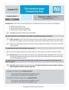
The Weather Page-Comparing Data
Young scholars examine weather patterns in the United States. In this weather lesson, students use a United States map to identify high and low temperatures in two states. Young scholars compare the data and record their findings onto a...
Curated OER
Lesson 3: Seven Day Road Trip
Students plan a seven day road trip. In this travel instructional activity, students plan a driving trip that includes five major cities or attractions in Florida or another state of their choice. They show the trip on a map, calculate...
Curated OER
Latitude and Longitude
Students demonstrate how to locate places on a map using a grid. In this map skills instructional activity, students are introduced to latitude and longitude lines. Students define these terms and view a large map of a state. Students...
Curated OER
USA States and Capitals
Fifth graders explore U.S. geography by completing a map identification activity. In this states and capitals lesson, 5th graders examine a map of all 50 U.S. states and identify them as well as their capital cities. Students are...
Curated OER
Storm Clouds-- Fly over a Late Winter Storm onboard a NASA Earth Observing Satellite
Students study cloud data and weather maps to explore cloud activity. In this cloud data instructional activity students locate latitude and longitude coordinates and determine cloud cover percentages.
Curated OER
Intermediate PE Activity-Walk Across the USA
Students, in teams, in physical education classes, attempt to collectively "walk across America." They measure a mile of walking distance at their school and then track how many they walk. They trace the miles on an actual map,...
Curated OER
Introduction to WorldWatcher: Coloring Temperature Maps
Young scholars are introduced to the software program WorldWatcher. In groups, they discover the temperature variations throughout the world and color a map according to the temperatures. They also practice using visualization to...
Curated OER
Mapping My Trip to the 2002 Winter Olympics!
Eighth graders map their route from their local community to Salt Lake City, Utah for the Winter Olympics. Using atlases, they gather topographical information and use the internet to research any landmarks they might pass on the way....
Curated OER
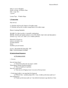
Weather Maps
Pupils explain the collection of weather data as presented in different formats. They use appropriate terminology related to weather maps and use the Internet to capture weather data from a city of choice and present a TV style weather...
Teach Engineering
Who Can Make the Best Coordinate System?
Working with a map that does not have a coordinate system on it, small, collaborative teams must come up with a coordinate system for their map. Groups then explain their coordinate structure to the class.
Mrs. Robbins' Social Studies Site
The Berlin Blockade
The Berlin Blockade may not take up as much space in the history books as other events of the Cold War, but for the citizens of west Berlin in 1948—and the events to follow between the Soviet Union and the United Stattes—those 318 days...
Curated OER
How Much Water is in That River?
Young scholars practice measurement using the Hudson River. They calculate the discharge measurement at a location on the Hudson River using ingenuity and a topographic map.
Super Teacher Worksheets
United States of America
Here is the perfect assessment to test your young learners on labeling the 50 states! Each state is given a number on a blank map of the United States, and a second page lists the numbers in order for learners to identify.
Curated OER
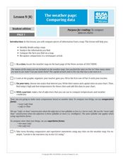
The Weather Page: Comparing Data
Learners analyze data from maps. In this comparing data lesson, students use comparative and superlative statements to draw comparisons among the weather in different American cities based on USA Today weather maps.
Other popular searches
- Usa Maps
- Climate Maps Usa
- Usa Canada Maps
- Blank Usa Maps
- Maps of Usa Regions
- Choropleth Maps of Usa
- Northwest Usa Maps


