Curated OER
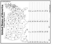
United States Capital Cities
In this identifying the United States Capital cities worksheet, students use a United States map and a list of state abbreviations to write each state' s and the District of Columbia's capital city. Students write 51 answers.
Curated OER
The Gold Rush
Students identify the routes involved in the Gold Rush on a map. In this map skills lesson, students use a United States map to locate the routes used to travel to California during the Gold Rush. Students demonstrate how to use the map...
Curated OER
US: Midwest Region Map
In this U. S. outline map worksheet, students examine boundaries of the Midwest Region states and the placement of the capital cities. This map is labeled.
Curated OER
US: Western Region Map
In this U. S. Western Region outline map worksheet, students examine boundaries of each of the states and the placement of the capital cities. This map is not labeled.
Curated OER
Me on the Map Lesson 2
Students analyze and interpret maps, globes and geographic information systems to define and identify cities, counties, states, countries and continents to create a booklet called me on the map. They also determine and calculate the...
Curated OER
Map Skills
Students create two types of maps. In this map skills instructional activity, students discuss map vocabulary and view maps of Florida. Students draw a free hand map of Florida and include major cities, bodies of water and...
Curated OER
A Place of My Own: A Study of Maps
Students investigate maps. They demonstrate their knowledge about maps and place landforms in the proper place as they create salt dough maps. They create a geography folder as well.
Curated OER
Our 50 States
Students identify the location of the 50 states using an interactive map. They practice geography skills by playing a fun game. Pupils become familiar with the state abbreviations for the US states. Students become familiar with the...
Curated OER
Create the Ideal City
Students examine the significance of city planning. They analyze maps, develop a crossword puzzle using vocabulary terms, and create a diagram of an ideal city and describe the features that make it healthy for the economy, the...
Curated OER
Our community and New York City
Fourth graders research websites to gather information about New York City and the Ridgewood community. In this New York City and Community lesson, 4th graders make a semantic map. Students write short postcards to send to students...
Curated OER
United States Identifier
Fifth graders examine and research a major region of the Unites States in groups of four. In addition, they locate the states, capitals, mammals and two bodies of water or mountain ranges found within their region. After the research,...
Curated OER
MAPPING YOUR NEIGHBORHOOD
Students uses atlases, maps, and Web resources to generate and examine maps of their own neighborhoods. This activity serve as background for the map-reading tasks in the next lessons.
Curated OER
States/Capitals L-N: Matching
In this geography practice learning exercise, students match the 17 listed states to the appropriate 17 listed capital cities located in the United States.
Curated OER
City, County, Community
Students explore issues and situations that make for a city and its local environments. In this local government lesson, students design maps, define issues and create brochures that illustrate their understandings of these concepts and...
Curated OER
Naming the States of the U.S
Fifth graders study the 50 states on a map. In this social studies lesson, 5th graders identify the names of the states and location. Additionally, students work in small groups to name and locate as many states as they can on a blank...
Curated OER
Reading a Local and National Weather Map
Students investigate weather maps. In this weather lesson, students discover the meaning of different weather icons and symbols. Working independently, students use the local forecast to correctly label a state map.
Curated OER
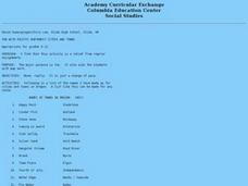
Fun With Pacific Northwest Cities and Towns
Intended for fun only, learners play with the names of cities common to their region or state. This lesson includes a list of cities in Oregon and not much else. What you and your class choose to do with your list of cities is up to you.
Curated OER
The 50 States and its Holidays
Though the format of this ELL lesson is confusing (the standards listed are for plate tectonics, yet the objectives are for American geography and holidays), a teacher could glean some ideas from the main idea. Here, pupils complete a...
Curated OER
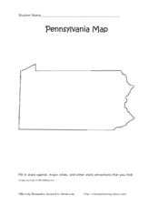
Pennsylvania Map
In this state maps activity, students identify the map of Pennsylvania. Students fill in the state capital, the major cities, and other state attractions.
Curated OER
Missouri Map
In this Missouri blank outline map worksheet, students examine the political boundaries of the state and then mark the state capital, other cities, and other state attractions on the map.
Curated OER
Nevada Map
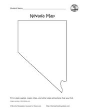
In this state maps worksheet, students identify the state of Nevada. Students then fill in the state capital, major cities, and other state attractions for the state.
Curated OER
Iowa map
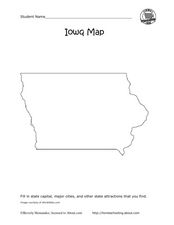
In this Iowa worksheet, students fill in cities and attractions in a map of Iowa. Students fill in as many cities and attractions they can find.
Curated OER
Maryland Map
In this Maryland worksheet, learners analyze an outline map of the state of Maryland. Students fill in the state capital, major cities and other state attractions.
Curated OER
Ohio Map
In this Ohio learning exercise, 4th graders explore the state of Ohio. Students look at the map of Ohio and fill in the state capital, major cities, and any other important landmark or site on the map.
