Curated OER
Story Hour with Lincoln
Students explore the life of Abraham Lincoln. In this Abraham Lincoln lesson, students create a Lincoln beard and hat to wear. Students view the penny and discuss why he was chosen to be pictured on the penny. Students create Lincoln...
Curated OER
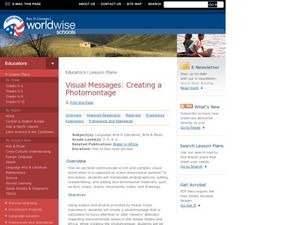
Visual Messages: Creating a Photomontage
Students create a photomontage. In this instructional activity on photography as a means of conveying emotion, students use images gathered from the Internet to create a photomontage comparing how water is used in Africa and the U.S.
Curated OER
Sharing The Land
Students investigate different geographical terms and concepts. This is done with practicing with maps of the United States to find major coasts, lakes, and rivers. They also put together a floor map of the United States. Students create...
Curated OER
Great Explorers
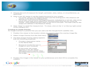
Students research an explorer and present a multimedia presentation on the explorer. In this United States explorers lesson, students watch a video about Lewis and Clark. Students use Google Earth to study their journey and keep a KWL...
Curated OER
Flat Stanley
The geography of the United States is the focus of this lesson, as well as writing friendly letters. Your second graders read, "Flat Stanley," by Jeff Brown. They create their own Flat Stanley out of poster board, markers, crayons and...
Curated OER
This Land is Your Land - Travel Posters
Eleventh graders compile a list of places in the United States where they have either traveled or where their relatives or friends live. They collect travel posters, brochures, postcards, and maps from their region of the United States.
Agriculture in the Classroom
Growing a Nation: Into a New Millennium 1970-Present
If you want to focus on critical thinking skills, this well-constructed series of activities will challenge your history or agriculture class to evaluate the effectiveness of administrative decisions related to agricultural and the...
Scholastic
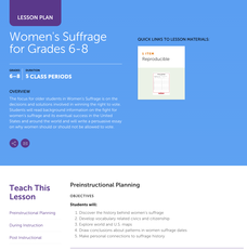
Women's Suffrage for Grades 6–8
Learners study the decisions and solutions involved in winning the right to vote. After reading background information on the fight for women's suffrage, including one woman's story, and its eventual success in the United States and...
Curated OER
Dr. King's Dream
Students explore life and work of Martin Luther King, Jr., reflect on section of King's "I Have a Dream" speech, discuss inequities that still exist in the United States, and create picture books about their own dreams of freedom for...
Curated OER
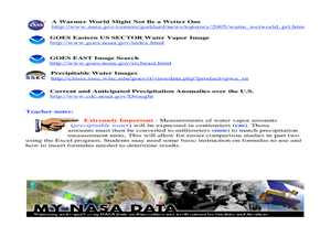
A Comparison Study of Water Vapor Data to Precipitation over North America
Students use NASA satellite data to compare water vapor over the United States. In this data analysis instructional activity students use an Excel spreadsheet to map their data.
Curated OER
U.S. Geography: The Northeast
Students investigate U.S. Geography by creating a map in class. In this natural resource instructional activity, students create a map of the United States and research the Northeast based on their resources and recyclable...
Curated OER
Our Country's Geography
Third graders study geography. In this United States landforms activity, 3rd graders create a map of the U.S. made out of dough. They use various edible treats to mark the country's capital, the plains, the mountains and the rivers &...
Curated OER
Welcome to New York State
Young scholars choose one region of New York state, and create a travel brochure that includes information such as geographical features, tourist attractions, accesibility, economic features, and historical events that occured in that...
Curated OER
Our Energy
Fifth graders research energy sources used in the United States. In this energy sources lesson, 5th graders work in teams to research various energy sources. Students complete a worksheet for the research and make a short video of a...
Curated OER
American Symbols
Learners explore the symbols of the United States. In this U.S. history lesson, students create an American flag puzzle and research facts on the flag. Learners view a Powerpoint presentation on other symbols of America.
Curated OER
Train Of States
Fourth graders create a class book with information about each of the United States. After students draw a state name out of a hat, they use various resources to fill in a facts chart about their state. Students draw the state flag and...
Curated OER
Planting Time
High schoolers research crops grown in the United States. In this agriculture lesson, students identify various crops cultivated across the United States as they create charts and maps that note the information.
Curated OER
Movement of African Americans in the United States During the Twentieth Century
Students examine data and maps to create migration maps of African-American movement in the Twentieth century. They analyze the patterns in the migration.
Edgate
Discovering New Resources
What is a natural resource, and what resources did the Lewis and Clark expedition seek? After reading an article on the mapping of the west, learners get into small groups to discuss the important natural resources of the period. They...
Curated OER
Edible Resource Maps
Third graders work in groups to create an edible resource map showing locations of at least five resources in the United States. Students research on the internet different regions and the resources that are found in those areas. They...
Curated OER
How Did the Immigrants Get to the United States?
Third graders search TDC database for images of immigration from other countries, maps, and diaries. They identify the challenges that immigrants had to endure to reach the United States.
Curated OER
Regional Economics in the United States
Learners describe and provide examples of the primary factors
behind the regional pattern of economic activity in the United States. They create maps showing regional economics patterns
in the US and examine those patterns in comparison...
Curated OER
Name That Place: Cultural Place Names in the United States
Young scholars examine the origin of the people that settled in the United States. In this United States History instructional activity, students work in small groups to complete several activities that explore early settlement,...
Curated OER
How Far Is It?
Students use a map key to estimate the distance from Salt Lake City, Utah, to ten other cities. Then they use an online distance calculator to see how close their estimates come!

