Curated OER
Mapping the Lewis and Clark Trail
Young scholars explore how physical and human geography features effected Lewis and Clark's expedition by using the Lewis and Clark Digital Discovery Web site.
Curated OER
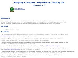
Analyzing Hurricanes Using Web and Desktop GIS
Students analyze hurricanes. In hurricanes activity, students use the Internet and GIS to analyze hurricanes. Students view the National Atlas of Maps to discuss the direction hurricanes move. Students study the wind and pressure fields...
Curated OER
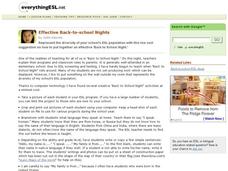
Effective Back-to-School Nights
Here is an engaging and creative project to do with your ESL learners in preparation for back to school night. A digital camera is used to photograph each pupil, and everyone completes a short writing assignment that goes along with...
Curated OER
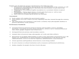
Cemetery Mapping Lesson
Eighth graders explore historical records. In this cemetery mapping lesson plan, 8th graders analyze local community data as they examine gravestones and read epitaphs.
Curated OER
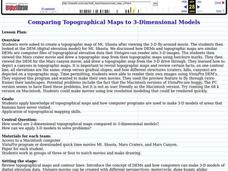
Comparing Topographical Maps to 3-Dimensional Models
Students apply knowledge of topographical maps and how computer programs are used to make 3-D models of areas that humans have never visited. They view a Mars Canyon movie, then map the canyon.
Curated OER
An Archaeological Adventure in Athens
Students review map skills and practice finding locations on a map. In groups, they create maps with mystery locations identified by hidden stick-on magnets. Other groups attempt to find the mystery locations and then check their work...
Curated OER
Mathematical Roadmaps
Second graders observe how a sample math problem is solved on the overhead. They work in small groups to develop a strategy for solving another problem using counters as well as a large sheet of paper to write down their explanation of...
Curated OER
Our World With MapsQ
Students examine and compare different types of maps. In this map skill lesson, students look at neighborhood and national maps on the overhead projector while making comparisons of the symbols and locations. They use a T-chart to record...
Curated OER
Principles of Flight: Where are We?
Students explore the concept of topographical maps. In this topographical map lesson, students discuss how airplanes know where to fly. Students use topographical maps to simulate a field trip on the computer.
Curated OER
Johnny Appleseed Walkabout
Second graders calculate mileage for a journey. For this place value and measurement lesson, 2nd graders read Johnny Appleseed, work in groups to locate his birthplace on a map, locate the other states he stopped in, and measure the...
Curated OER
Math Word Problems
In this word problems learning exercise, students add 2-digit numbers to solve. In this fill in the blank learning exercise, students find two sums.
Curated OER
Circulatory and Respiratory Systems
Eighth graders are able to write a paragraph describing each system based on the information retrieved in class. They trace a route from Holly Springs, MS to Greenwood using the maps that they were given. Students discuss the role of...
Curated OER
Geography Puzzles
Learners study the continents of the world. In this Internet geography lesson, students connect to online mapping games. Learners collaborate in order to develop their understanding of world geography, including countries and capital...
Curated OER
Call to Arms: A Service Project
Sick of selling candy and washing cars? How about hosting a Digital Day or a Learning Lunch? The suggestions here make fund raising fun and rewarding. Raise money to preserve important maps and other primary source documents.
Curated OER
GIS Mapping: Special Instructions for Using Digital Orthophotos
Students practice cartography using GIS technology. They create a map of Austin using GIS and aerial photos.
Oregon State
World Map of Plate Boundaries
Young geologists piece together the puzzle of plate tectonics in an earth science lesson. Given a physical map of the world, they search for land formations that indicate the location of different types of plate boundaries.
Smithsonian Institution
Spanish American War
Today, Cuba and America sometimes struggle with diplomatic relations, but did you know that America went to war against Spain to free Cuba? Learners examine many interesting facts related to the Spanish American War using an informative...
Curated OER
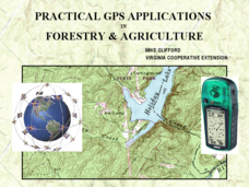
Practical GPS Applications in Forestry & Agriculture
An explanation of the Global Positioning System (GPS) and the Geographic Information System (GIS) is given in this presentation. Uses and applications are considered. How it works and sources of error are also touched upon. A large...
Curated OER
Mapping My Community
Ninth graders are introduced to GPS technology. They complete fieldwork as they visit a specific area of their community to identify and map types of land use in the surveyed area. They use the collected data to create a digital map.
Planet e-Book
Treasure Island
Simple yet convenient: this resource is a real treasure! Robert Louis Stevenson's adventure novel, Treasure Island, engages readers of all ages with its tales of treasure maps, buried gold, and pirates. With a sleek eBook, learners can...
Livaudais-Baker English Classroom
Kindred Unit Project
To conclude a unit study of Octavia E. Butler's Kindred, groups use MovieMaker or the class website to publish an original story about slavery in America. The detailed project assignment sheet includes a list of possible topics,...
Curated OER
Satellite Maps
Students examine contemporary satellite and digital maps. They explore new mapping technologies have transformed the field of cartography. At the same time and analyze how mapmakers' 'interests' are still present in digital maps.
Curated OER
Science Mystery: The Vinland Map
Students research proof regarding the authenticity of the Vinland map. In this geography instructional activity, students hold a debate based on their research findings. They discuss which side won and write a short essay about their...


