Curated OER
Sustainable Southern Belize: Coral Health Lesson Plan
Fifth graders investigate coral reefs and the dangers they face by labeling and drawing. In this oceanography lesson, 5th graders view a PowerPoint presentation of photographs of coral reefs in Belize. Students investigate...
Curated OER
Longitude & Latitude
Seventh graders role play as ship's captains to study longitude and latitude.
Curated OER
ExplorA-Pond:3rd Grade Probability
Third graders cut a map of a pond into grid squares. They count the total number of squares and calculate the probability of drawing a pond piece vs. a shoreline piece. They draw 10 pieces and compare the results with the original...
Curated OER
Fourths of Sets
Students create a set of cards that represent factors of four and use these cards to play a game in which they practice separating numbers into fourths. They first practice separating numbers into fourths with a projected computer...
Curated OER
Where Can I See The Sea?
Students see how the pieces of the fossil puzzle fit together to allow the paleontologist to imagine the earth as it was millions of years ago. They draw a map showing what environments were present in a certain area more than 70 million...
Curated OER
May We Present Planet Earth?
Learners draw a map to scale. They illustrate knowledge of how to use DOGS TAILS on a map. Students identify the main parts of a map. They identify and illustrate the major features necessary for sustaining a quality of life for a society.
Curated OER
American Robin: A Robin's Menu Through the Seasons
Students read the article, A Robin's Menu Through the Seasons, taking notes and underlining key words and phrases. They create a math grid from the reading, research the animals in the article, and develop various writing assignments.
Curated OER
Great Questions for Tic Tac Toe
Fourth graders plan their own activities to reinforce the concepts being taught in school. The tic-tac-toe grid is used to help students create innovative learning activities to generate ideas.
Curated OER
Environment: Going Places
First graders learn directional words and apply this skill to map making. They record their steps on paper.
Curated OER
Eagle Creek Park (A Hike)
Students plot a hiking course using aerial photos and a topographic overlay and find the latitude and longitude of absolute locations. They measure the total distance of a hiked area and figure the area of the ground walked using Heron's...
Annenberg Foundation
Teaching Geography: Workshop 4—North Africa/Southwest Asia
Can Jerusalem be equitably organized? Can Israel and Palestine be successfully partitioned? Part one of a two-part workshop looks at the geo-political history of Jerusalem while Part two investigates Egypt's dependence of the Nile River...
Curated OER
Third Grade Science
In this science worksheet, 3rd graders answer multiple choice questions about measurement, plants, water, fossils, and more. Students complete 25 questions.
Curated OER
Ecology
Learners explore, experience and experiment identifying the human impact on the environment of vegetative differences within the same biome. They assess what causes deserts, rain forests, savannahs, tundras and saguaros and how these...
Curated OER
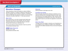
Real World Investigation- Math and Geography- Elevation Changes
For this math and geography real world investigation, 6th graders plan a driving trip to a city that is located several states away from their home while recording the elevations of three cities that are included in the trip. They use...
Curated OER
Graphing Coordinates
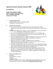
Sixth graders practice graphing coordinates. In this geometry lesson, they use the x and y axis to locate points that must be connected in the right sequence to form a straight line.
Curated OER
Angles - Unlocking Geometry
Students investigate the concept of angles and how they are used in geometry. They construct polygons using various types of angles and then classify them according to their physical properties. Students use a computer program in order...
Curated OER
Exploring Perimeter
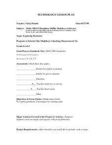
Students explore perimeter. In this geometry and measurement lesson plan, students create squares and rectangles using given perimeters. Students construct four sided shapes with given perimeters using the computer program "Math Keys:...
Curated OER
We Really Dig Archeology and Palentology
Sixth graders examine the differences between archeology and paleontology. Using the internet, they explore the tools and techniques used in each field. They must use the correct tools to uncover and record the objects they find. They...
Curated OER
Sam Houston for President...Again
Fourth graders discover the political career of Sam Houston. In this Texas history lesson, 4th graders research primary resources and create a modern-day version of Sam Houston's political campaign of the 1840s.
Curated OER
Landforms
Young scholars study how landforms affect all aspects of a community. Students work in groups to identify landforms from other works of art. In cooperative groups Young scholars select a work of art depicting a particular land form and...
Alabama Learning Exchange
The Sun and the Earth
Third graders study and diagram the positions of the Earth and sun during the four seasons. They predict weather for cities in the northern and southern hemispheres.
Curated OER
Where in the World...?
Students use longitude and latitude to locate various cities, regions, landforms, and bodies of water around the globe. They use The New York Times Learning Network's crossword puzzle 'Longitude and Latitude' to sharpen their atlas skills.
Curated OER
Filling in the Picture
Students study archaeological sites. They discover some of the problems inherent in choosing sites and what parts are chosen for excavation. They evaluate and explain their choices for study and articulate the process of archaeological...

