Curated OER
Sunspots and the Sun's Rotation
For this sun worksheet, students use a Sunspotter to observe the rotation of the sun by identifying the presence of sunspots and watching them rotate over time. Students calculate how many days it takes to see the sunspots they observe...
Curated OER
Marine Archaeology
Students examine marine archaeology. In this archaeological data lesson, students see how archaeologists use data to make inferences about shipwrecks. Students read data and make their own inferences, write about marine life and...
Curated OER
Social Studies:
Students identify various types of breads fromother countries and locate them on maps. In small groups, they make story maps of books that mention bread and make books resembling sandwiches. Students have a bread tasting party and...
Curated OER
A New Slant On The Seasons
Students identify how the tilt and position of the Earth causes the seasons. After a discussion of the seasons and when they begin. Using themselves as the objects in the universe, they role play how the rotational movement of the...
Curated OER
Name the Constellation
Students read stories about constellations. They create constellations by filling in the letters of their names on a test bubble sheet and tracing the design onto white paper. They make up stories about their name constellations.
Curated OER
Tailoring Two Cultures to Adapt to Wisconsin's Biotic Zones
Students examine the effect of the various ice ages on Wisconsin. In groups, they create a map representing the five geographic regions of Wisconsin. They must write out a description of each region to be placed on a poster board. ...
Curated OER
Mapping the Local Community
Students review the symbols and legends of a map. In groups, they follow a set of directions to create a map showing the route to a specific place. They present their map to the class and review the basic components of a community.
Curated OER
Do You Have A Sinking Feeling?
Students plot the positions of vessels given bearings in the form of landmarks. They explain how the debris field can help solve the mystery in how the ship sunk.
Curated OER
Big Fleas Have Little Fleas!
Young scholars study seamounts and learn the importance of structures to species. In this ocean explorer lesson, students participate in an activity that teaches them how to modify a seamount so that they are more suitable for...
Curated OER
Design a Building
Students design a blueprint of a building. In this measurement lesson, students design a building on paper. Students copy their building's measurements into the Microsoft Paint program and write word problems about their buildings....
Curated OER
Is Charleston Your Lucky Charm?
Students determine what makes Charleston, West Virginia unique. In this West Virginia history lesson, students explore the West Virginia History Museum to identify why Charleston became the capitol of the state.
Curated OER
Leaf Patterns
First graders explore the existence of patterns in everyday items. For this science and math integrated lesson, 1st graders match leaves with a name word card and organize them into four patterns. This lesson includes a reading of And...
Curated OER
Cell Community
Seventh graders use technology to review cell structure and function. For this cells less, 7th graders review the parts and functions of a cell, and use photography/video and PowerPoint to enhance their explorations.
Curated OER
Mississippi’s Electricity: From Generation to Consumption
Eighth graders discover how electricity is produced. In this physics lesson plan, 8th graders infer about the future of Mississippi's energy industry. They participate in a Smart Board interactive activity at the end of the lesson plan.
Khan Academy
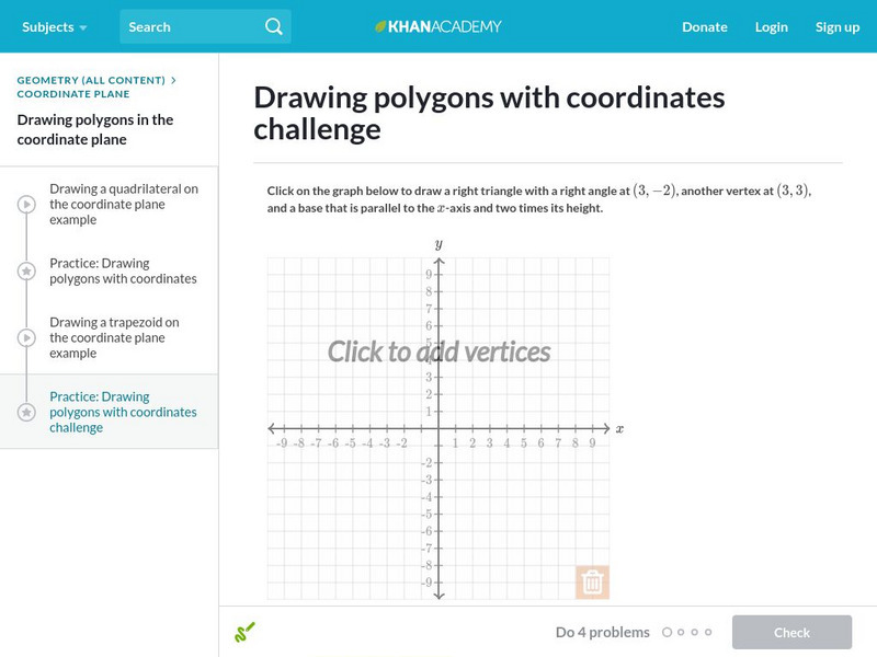
Khan Academy: Drawing Polygons With Coordinates
In this exercise, students practice drawing polygons with coordinates. Students receive immediate feedback and have the opportunity to get hints and try questions repeatedly.
Khan Academy
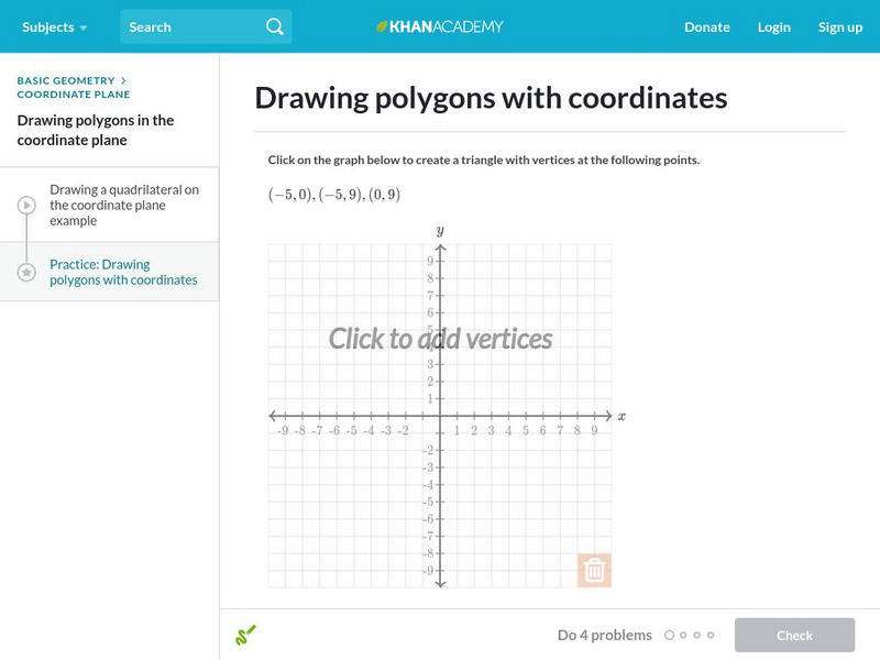
Khan Academy: Drawing Polygons With Coordinates 2
In this exercise, students practice drawing polygons with coordinates. Students receive immediate feedback and have the opportunity to get hints and try questions repeatedly.
Khan Academy
Khan Academy: Drawing Polygons With Coordinates
Practice drawing shapes on the coordinate plane. Students receive immediate feedback and have the opportunity to try questions repeatedly, watch a video or receive hints.
National Gallery of Art
National Gallery of Art: Wallovers
A wallpaper-designing program that turns your freehand drawing into repetitive patterns. A good introduction to repetition as a design principle and to grid systems.
Other
Math Mammoth: Children's Best Activities: Copy the Pictures
A collection of animal pictures with grid overlays for drawing practice. Students copy an image by drawing the contents of each square of the grid into a matching square on a second blank grid next to the picture. Each activity can be...
PBS
Pbs: How Art Made the World: Human Body in Egypitan Art
PBS documentary considers how ancient Egyptian artists chose to represent the human body and answers questions about how the cultural values of a society, such as the desire for order, shape its art. With close-ups of Egyptian art that...
NOAA
Noaa: Be a Shipwreck Detective [Pdf]
Use your skills of investigation to examine a list of items recovered from a shipwreck. Draw conclusions about the ship and its demise based off of your observations.


