Hi, what do you want to do?
Curated OER
Come One, Come All
High schoolers analyze information from core map and other sources and construct routes from New York and Boston to Cincinnati as they might have existed in 1835.
Curated OER
Londoners Calm Despite Bomb Blasts
Students investigate Great Britain's landscapes, government and culture to help them explain why a bomb blast in its subways or to its transportation system is important.
Curated OER
Idaho State Trivia
In this Idaho worksheet, students complete 20 questions about Idaho trivia. Students may click on an answer button for immediate feedback.
CRW Flags
Flags of the World: Hidalgo Mexico
This Flags of the World site offers a short description of Hidalgo with an image of the flag.
Google
Google for Education: Sorting the World's Cities (Python)
The second of two similar lessons where students learn how a Python program can organize and sort data. When taught in conjunction with Sorting the World's Cities with Excel, students make the connection between writing a program and...
World InfoZone
World Info Zone
Detailed, comprehensive information on countries and people all over the world. Great tool for discovering facts on world issues, seeing photos, and just exploring the world in general. Also includes quizzes based on the website's content.
Other
360 Cities: World Panoramic Photography
Explore the world's cities and environments through panoramic photography. Includes a video explaining how to shoot a panorama. Explore by delving into the world map, a themed set, editors' picks, or an expert photographer's portfolio.
Geographyiq
Geography Iq
Detailed geographical information on any country is available at this site. Within the World Map section, you can get facts and figures about each country's geography, demographics, government, political system, flags, historical and...
World Facts US
World Facts Us: Merida
Provides tourist information about the city of Merida and its surrounding areas. Discusses the main attractions and also gives some historical highlights.
Columbia University
Columbia Univeristy: Architecture of New York City: Birth of the Skyscraper
Learn about how and why skyscrapers were first built, and why they became a major symbol of New York City. This highly interactive site includes video lectures on the development and importance of skyscrapers, a timeline of commercial...
Other
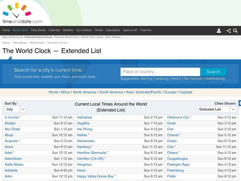
Time and date.com: The World Clock Time Zones
This website has a variety of time resources. You can find a major city and its time. If you click on that city it will give you lots of information.
World Facts US
World Facts: Cartagena
Provides history, geography, and tourist information on the Colombian city of Cartagena.
Other
Time Zone Check: Time Zone Map
This interactive world map shows the different time zones and what the times are in major world cities. You can click on your region, then find out the time in another part of the world!
Curated OER
Unesco: Germany: Hanseatic City of Lubeck
Lubeck - the former capital and Queen City of the Hanseatic League - was founded in the 12th century and prospered until the 16th century as the major trading centre for northern Europe. It has remained a centre for maritime commerce to...
Houghton Mifflin Harcourt
Holt, Rinehart and Winston: World Atlas: Myanmar (Burma)
Check out this map of Burma showing the major cities and the Irrawaddy River running the length of the country. There are also some quick facts listed about the country.
University of California
The History Project: Meaning of Suburbia
As the United States emerged from World War II, suburbs began to spring up with amazing speed. They were advertised as the perfect place to live - a utopia in which the family would flourish. The suburbs, with their promise of an escape...
The History Cat
The History Cat: Geography: People: Life in Tokyo
Describes features of Tokyo that make it possible for its large population to live there.
Curated OER
Etc: Maps Etc: Cities and Towns of the United States, 1898
A map from 1898 of the contiguous 48 states showing the distribution pattern of the major cities and towns at the time. The size of the dots indicate comparative populations. "Most of the manufacturing of the world is carried on in...
Other
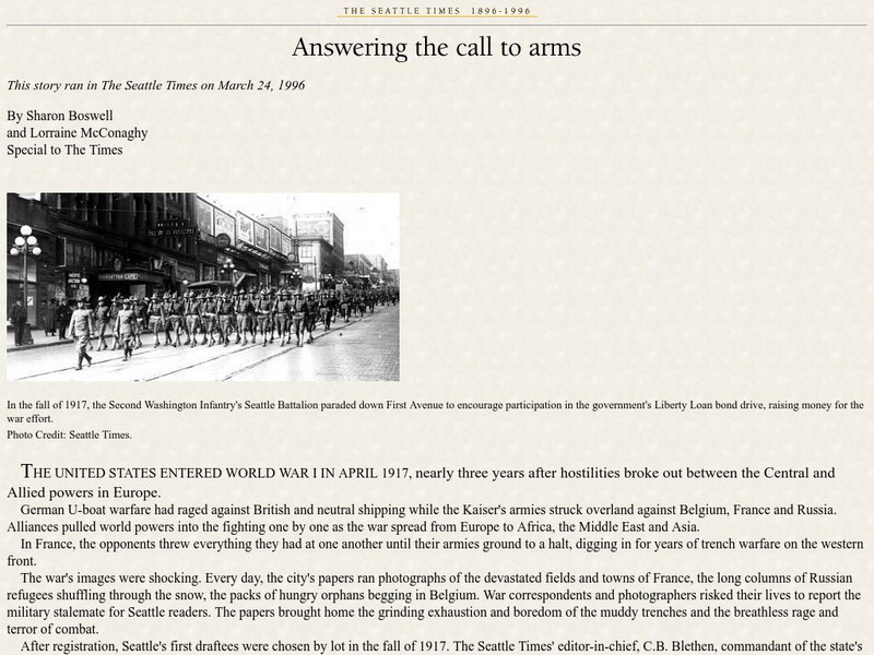
Seattle Times: Answering the Call to Arms
Although this article talks about World War I homefront in Seattle, it's a good indication of what was going on in most major American cities at the time. (Published March 24, 1996)
Khan Academy
Khan Academy: Arts and Humanities: Art of Africa
A landing page for a course on African art found in regions and in individual countries.
Curated OER
Etc: Maps Etc: The Great Powers and Imperialism in China, 1919
A map of China from 1919 showing the territorial possessions claimed in the country under European and Japanese imperialism after the Treaty of Shimonoseki (1895) between Japan and China, and the Conference of Paris, or Paris Peace...
InterKnowledge Corp.
Geographia: Mexico Introduction
Explore the magical world of Mexico. Learn about the history and culture of this diverse country as well as tour the country through pictures.
Geographyiq
Geography Iq World Atlas: The Climate of El Salvador
View facts about the climate of El Salvador compiled by GeographyIQ from selected publications of the U.S Department of State and from the CIA World Fact Book. Peruse the tables of data about average temperature highs and lows for three...
Curated OER
Unesco: Russian Federation: Historical Centre of the City of Yaroslavl
Situated at the confluence of the Volga and Kotorosl Rivers some 250 km north-east of Moscow, the historic city of Yaroslavl developed into a major commercial centre from the 11th century. It is renowned for its numerous 17th-century...


